
Land Surveying Services Auckland & NZ Wide
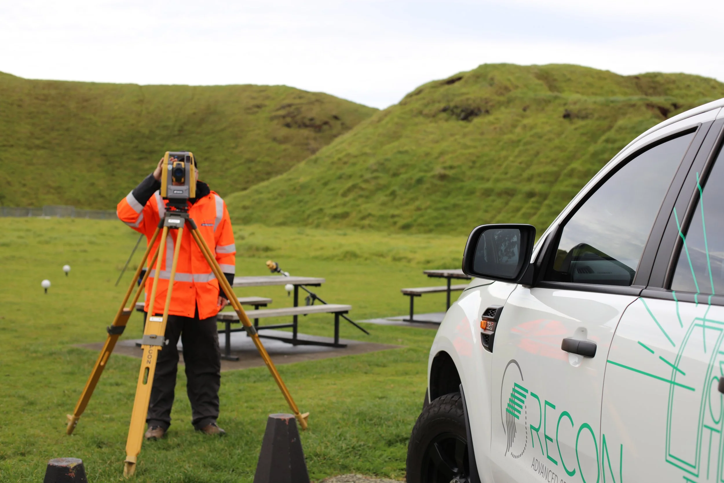
Recon provides accurate, survey-grade land surveying services across Auckland and throughout New Zealand, using the latest Topcon GNSS and robotic total station equipment.
Our trained and experienced team delivers reliable surveying for construction projects, planning and compliance, from conception right through to set out and as-built.
Why Survey?
Surveyors play an important role in ensuring that projects are designed and built to the correct specifications and that they meet safety and environmental standards. Accurate survey data at the start of a project avoids costly design errors and rework later on.
Our Survey Expertise
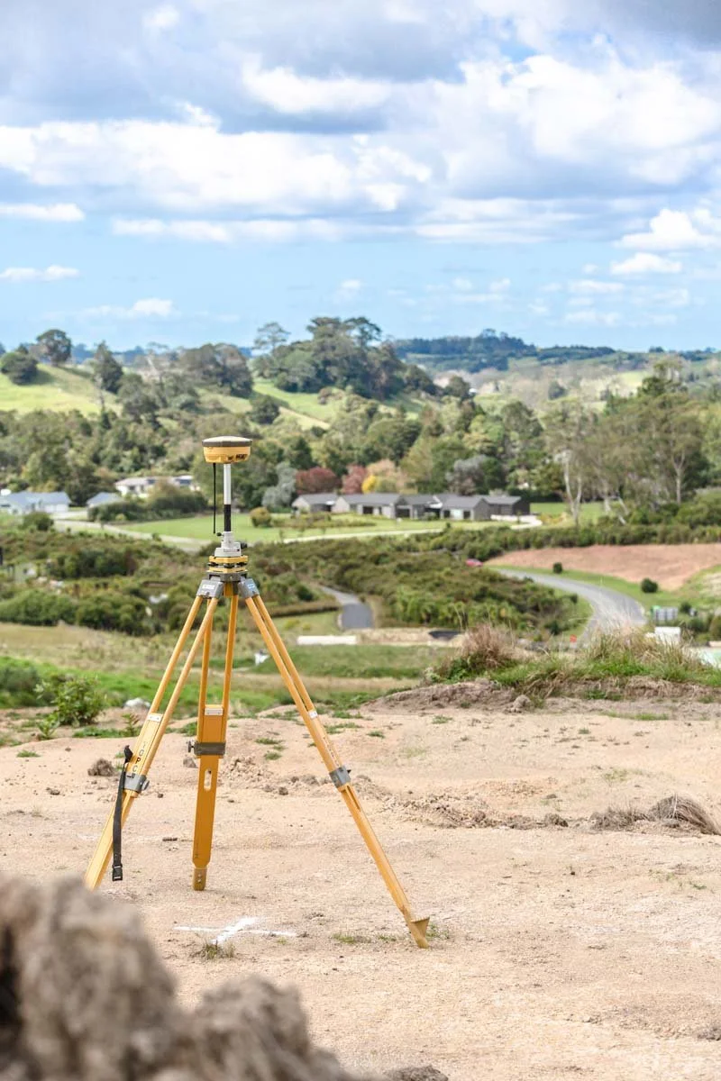
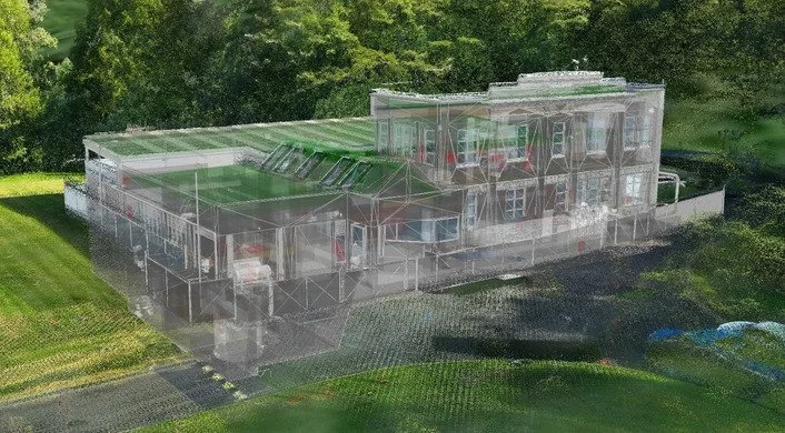
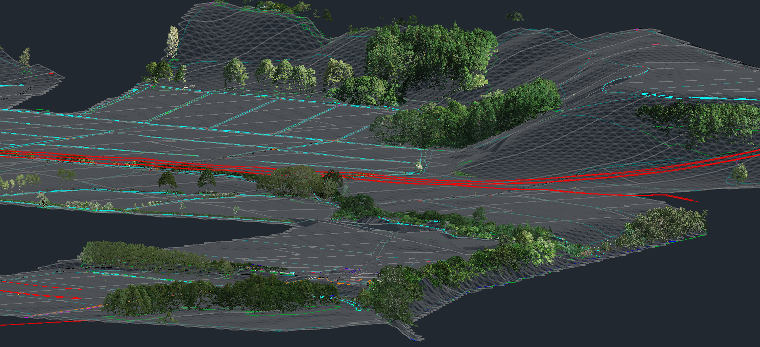
Our surveying projects use the latest Topcon GNSS and robotic total station equipment, ensuring accuracy tolerances are maintained throughout the entire site. It also enables the precise merging of spatial data sets, such as 3D laser scanning and UAV-derived point clouds from drone mapping and LiDAR. Recon holds SiteWise Gold accreditation for health and safety.
Our Surveying Services
Topographic surveys
UAV and 3D laser scanning control
Construction surveys
Monitoring and deformation surveys
Asphalt paving and milling level control
As-built surveys
CAD design
Civil surveys
Volume calculations
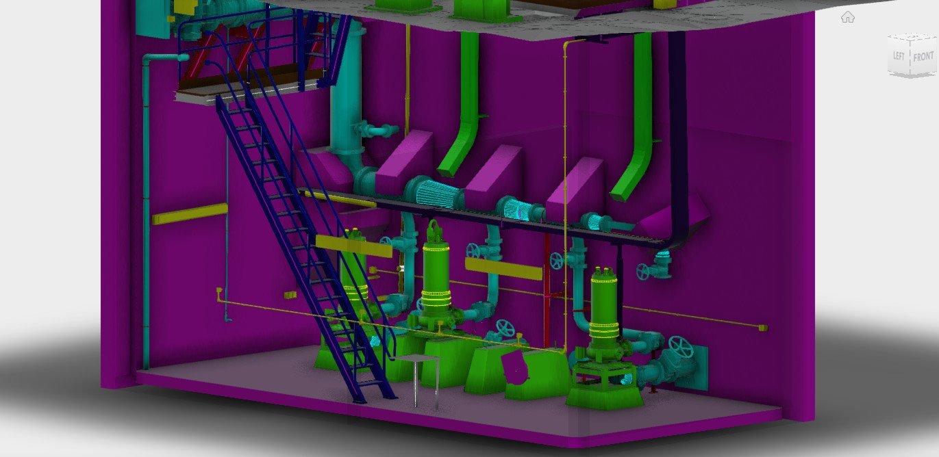
Industrial and plant
Coastline surveys
Mine surveys
Survey control
Planning a project? Request a surveying quote from our Auckland-based team →
Our Survey Workflow
1. Survey brief and scope definition
Confirm objectives, deliverables and required accuracy.
2. Planning and control setup
Establish survey control points and coordinate systems.
3. Field data capture
Collect measurements using GNSS, total stations, drones or LiDAR.
4. Survey data processing
Validate, clean and adjust survey data.
5. Analysis and modelling
Create maps, contours or 3D surface models.
6. Quality assurance
Check accuracy and compliance with standards.
7. Deliverables and reporting
Issue plans, CAD files and survey reports for project use.
What is Surveying?
Surveying involves measuring, mapping and analysing the Earth's surface and built features to define boundaries, produce accurate plans and provide reliable data for engineering and construction projects.
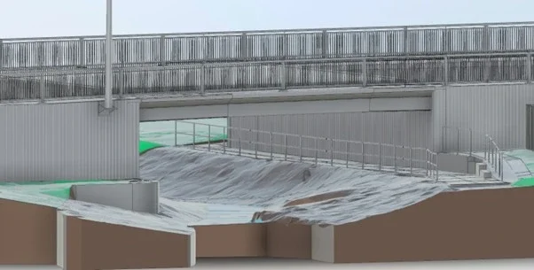
Surveyors use a range of tools, including GNSS (GPS) receivers, total stations and aerial mapping tools such as drones and LiDAR, to collect data about natural features such as hills, valleys and water bodies, as well as built structures such as buildings, roads and bridges.
Benefits of Surveying
Surveying gives accurate site data, sets clear boundaries and helps with planning and approvals. It also reduces design errors, saves time and costs, and lowers construction risks.
Starting with an accurate survey means designs fit the site and construction is built in the right place. Reliable survey control ties every dataset to the same datum, so topographic surveys, 3D laser scanning and drone or LiDAR data line up with previous and future surveys. Set out and as-built surveys then confirm the work matches the design before sign-off.
What Deliverables Will You Receive?
-
It all begins with establishing a reliable datum, to ensure your data relates to previous and future surveys. Control surveys can be completed using a total station or GNSS receivers.
-
Whether a control survey or full topographic survey outputs typically include drawings (DWGs) and PDF outputs.
-
CAD software allows comparative surfaces to be loaded and calculations performed, including cut and fill volumes.
-
On the completion of a project its common to prepare a survey report with all results from the initial control survey through to verification checks.
-
3D ground surfaces and contour plans for design, drainage and earthworks, delivered in DWG, DXF or Civil3D surface formats.
-
Files set up for your designers to use directly, to your CAD standards and layer conventions. See our CAD services.
Case Studies
Coastal Erosion and Accretion Monitoring – Waihi Beach
Problem: A Bay of Plenty district council needed to monitor sand movement along Waihi Beach to meet resource consent conditions for a rock revetment sea wall.
Approach: Recon has completed biannual drone surveys over four years using surveyed control and a commercial-grade UAV, timed for spring low tides and quieter beach periods. Each flight covers around 2 km of coastline.
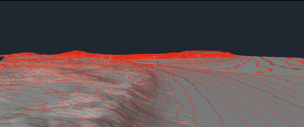
Outcome: Each survey delivers a topographic DTM, contours and orthorectified aerial photography, giving the council and its engineers a reliable record of erosion and accretion to support long-term coastal management and planning.
FAQs
What level of accuracy can I expect from a survey?
Accuracy depends on the method used, such as GNSS, total station, drone or LiDAR, and typically ranges from centimetre to millimetre level precision. Proper control points and calibration improve results, while equipment, environmental or human factors can affect accuracy.
How long does a survey usually take?
It varies with site size, terrain and complexity, with small sites taking hours and large infrastructure projects taking days or weeks. Preparation, data processing, weather and access limitations also influence the timeline.
What types of deliverables are provided from a survey?
Detailed maps, plans, 3D models, topographic surfaces, boundary reports, point clouds and GIS-ready datasets for engineering, design or construction purposes.
How is surveying data processed and analysed?
Data is cleaned, validated and adjusted using control networks, then used to generate digital models, contours and feature extractions, with reports and visualisations prepared for planners and engineers.
Why is surveying important for construction and planning?
Surveying ensures accurate site measurements and boundary definitions, so designs fit the site and construction is built in the right place. We pride ourselves on our data turnaround times.
Where do you carry out surveys?
We are based in Auckland and work across Auckland and Waikato, and we take on projects throughout New Zealand.
Request a Surveying Quote
Send us your site details and requirements and our experienced team will be in touch. We're happy to quote on work across Auckland, Waikato and NZ wide. Request a surveying quote →
Location
Based in Auckland
Phone
0800 732 669
Email
info@recon.nz