
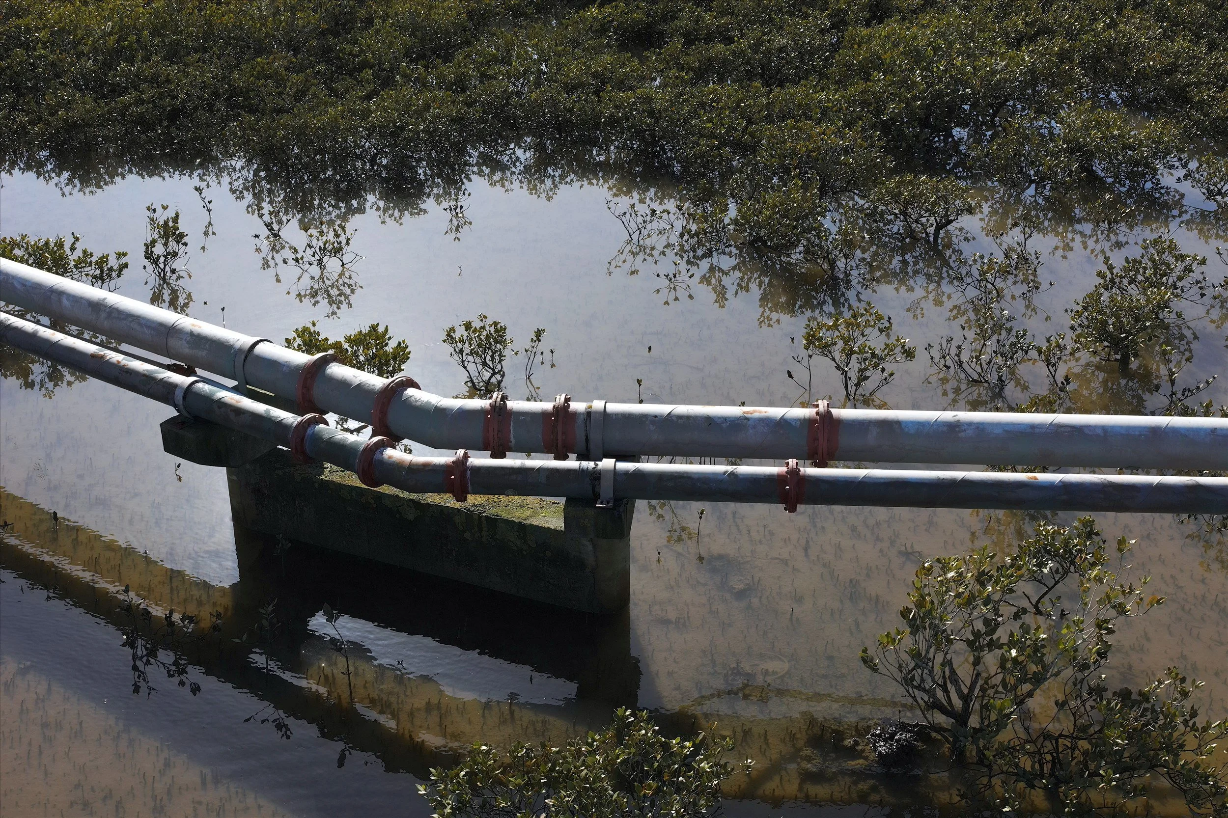
3D Scanning, Revit Modelling & LiDAR for Water and Wastewater
Accurate as-built data for treatment plants, pump stations, reservoirs and networks, so upgrades are designed around what's really there.
Water and wastewater assets are often decades old, altered many times, and poorly matched to their original drawings. Recon gives designers, asset managers and contractors an accurate record of existing conditions using 3D laser scanning, Revit and CAD modelling, drone LiDAR and aerial photography.
How We Help Water Teams
We work on operational sites under inductions, permits to work and confined-space procedures.
-
Scanning inside buildings, LiDAR and survey outside, all tied to one coordinate system and one model.
-
Designers measure from a virtual site on their screen instead of returning to site with tape measures.
-
Layered Revit models let designers hide existing items, place new equipment and show clearly what’s being removed.
What We Capture
-
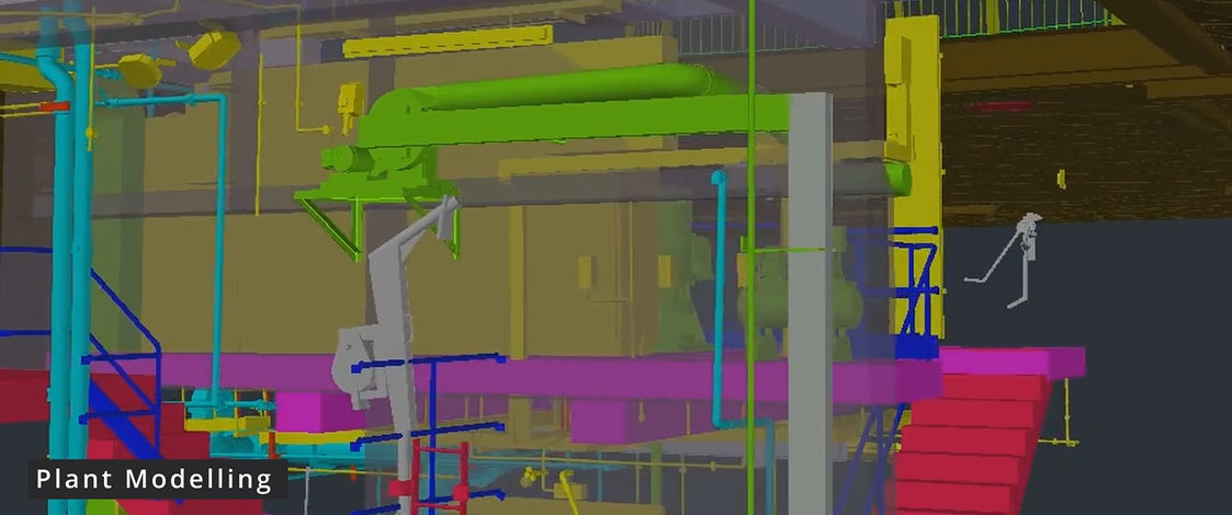
Treatment Plants
Laser scanning, Revit models, drone LiDAR and topographic survey for brownfield upgrades.
-
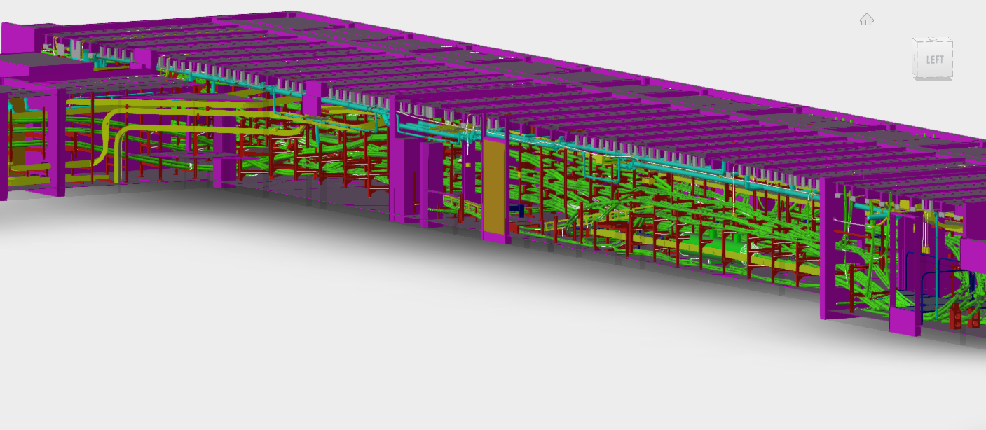
Pump Stations & Wet Wells
Dry wells, wet wells, pumps, pipework, access steelwork and cranes, scanned and modelled with permanent survey control.
-
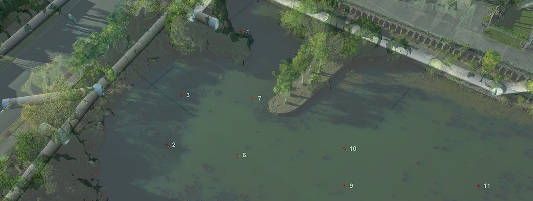
Sites & Networks
Drone LiDAR and aerial mapping of ponds, embankments, outfalls, access roads and overland flow paths.
Pump Station and Wet Well Scanning
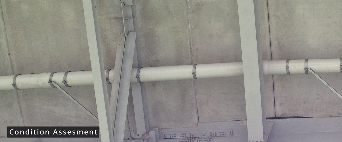
For a water utility's five-year wastewater asset renewal programme, Recon scanned and modelled pump stations inside and out, including dry wells and wet wells. Wet wells were scanned once drained, and positioned precisely relative to plant in the dry well.
We timed the scanning to match the utility's cleaning roster, so maintenance crews barely had to support it. Permanent survey control was installed at each site for future works.
Projects Across New Zealand
A selection of recent water projects. Client names are withheld; we're happy to provide references.
Auckland: water treatment plant chemical upgrade. Laser scanning, Revit model, drone LiDAR, aerial photography and topographic survey.
Auckland: wastewater pump station renewal programme. Scanning and CAD modelling of dry wells, wet wells and plant.
Auckland: council stormwater ponds. Repeat drone imagery to map invasive weed cover.
South Auckland: road bridge and stream underpass. 3D scan and Revit model for shared-path design.
North Island: wastewater treatment plant upgrades for councils and consultants. 3D scanning and modelling of existing plant.
How We Deliver
We agree areas, level of detail (e.g. LOD300 Revit) and coordinate system, then plan scanning around shutdowns, cleaning rosters and permits.
Scope & plan around operations
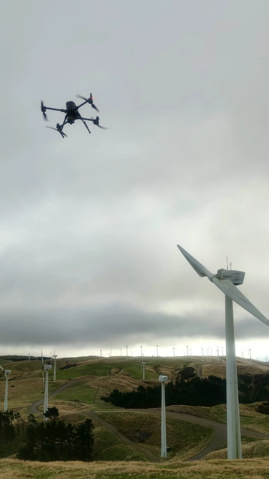
FARO laser scanners (often two at once), drone LiDAR and aerial photography, all tied to survey control.
Capture on site
Point clouds are usually ready within 3–5 working days of scanning, and Revit models in about three weeks.
Process & deliver
Certified, Safe and Fully Compliant
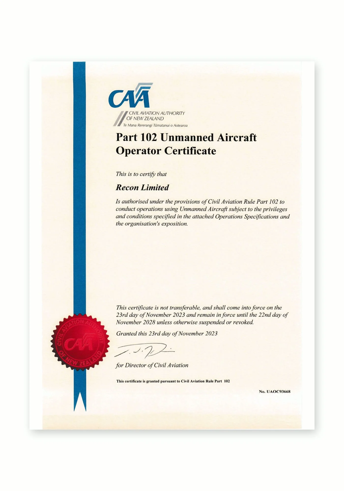
Recon is a CAA Part 102 certificated unmanned aircraft operator. Part 102 is the Civil Aviation Authority of New Zealand’s certification for commercial drone operators who need to work beyond the standard Part 101 rules, and it is only granted once the CAA has reviewed and approved how an operator identifies and manages every hazard and risk.
What Part 102 certification means for your project:
More places we can fly: our certificate allows us to be approved for work that standard Part 101 rules restrict, such as flying over people or property, near aerodromes or in controlled airspace, subject to the conditions of our certificate and the required permissions.
A CAA-approved exposition: every operation follows our approved procedures for pilot competency, aircraft maintenance, flight planning and emergency response.
Job-specific risk management: each inspection includes a site risk assessment, airspace checks and coordination with air traffic control, landowners and site managers where needed.
Ongoing CAA oversight: as a certificated operator we are subject to CAA audits, giving asset owners and principal contractors confidence that the work meets New Zealand aviation safety standards.
Alongside our Part 102 certification, Recon holds SiteWise Gold accreditation and is a Site Safe member, so our health and safety systems meet the expectations of New Zealand’s leading contractors and asset owners.
Water & Wastewater FAQs
-
Yes. Laser scanning is non-contact and we work under your site inductions and permits to work. We plan scan positions around operating equipment and can time work to shutdowns, cleaning rosters or low-flow periods.
-
Yes. Where confined-space entry is needed, we work to your procedures. Wet wells are best scanned once drained and cleaned, and we position the scan precisely relative to the dry well and the rest of the station.
-
Drawings are often decades old and miss later changes. A scan records what’s actually there, so new pipework and equipment fit first time and designers don’t need repeat site visits.
-
We usually model to LOD300, covering structure, equipment, pipework, access steelwork and services. We agree the scope and layer structure with you first, so the model suits your design and asset management needs.
-
Yes. Drone LiDAR and aerial photography capture ground levels under vegetation, embankments, ponds and access, combined with the building scan in one coordinate system.