
3D Laser Scanning Services Auckland &
NZ-wide
Professional 3D laser scanning company in Auckland, New Zealand, delivering accurate point cloud data, BIM models, and detailed site measurements.
Recon delivers 3D laser scanning services across Auckland and New Zealand using industry-leading FARO technology. With over 400 completed scanning projects, Recon brings extensive real-world experience to every job, from small heritage artefacts to large-scale infrastructure and commercial buildings.
Why Use 3D Laser Scanning?
This non-invasive surveying method requires no physical contact with the object or environment being scanned. It captures millions of points per second, creating an extremely detailed and accurate digital representation of the surroundings from which we can build a 3D model.
3D laser scanning supports a wide range of industries, from architecture, engineering, and construction (AEC) to industrial, marine, and cultural heritage projects.
Call or email us today to see how we can support your next project.
Our 3D Laser Scanning Expertise
We have provided 3D laser scanning services in Auckland and across New Zealand for a variety of industries to improve planning and design, reduce project time and costs, support structural condition assessment, enhance safety, and increase efficiency and productivity. Accurate scans mean fewer surprises, fewer clashes and cost overruns, and projects delivered on time!
While we primarily operate within the Auckland, Waikato, Bay of Plenty, and Northland regions, we also take on projects nationwide and have had the pleasure of working on several international projects.
With over 50 years' combined experience within the spatial industry and SiteWise Gold accreditation, Recon is trusted by engineering firms, contractors, and heritage bodies across New Zealand. Our deliverables include outputs like Scene2Go and Cintoo web-based viewers, which let clients and stakeholders explore a site remotely without needing specialist software, a point of difference most competitors don't offer.
“I’ve been working with Jeremy over the last 5 years whenever we need to make use of the 3D laser scanners, equipment and their services. Jeremy, Ben and the team have always gone the extra mile to accommodate and work in with what we need to achieve and I can honestly say it’s been a pleasure to deal with them each time. Highly recommend their services to anyone in the industry!”
Petrus Barkowitz - Waikato Steel Fabricators
Call or email us to talk through your project. We’ll get back to you within one business day.
Our 3D Laser Scanning Workflow
-
Define deliverables and accuracy requirements (e.g., point cloud, mesh, BIM model, CAD plans, tolerance levels).
Assess site conditions and constraints such as access, safety risks, lighting, reflective surfaces, and line-of-sight limitations.
Determine scan density and coverage strategy based on the required level of detail and project scale.
Select appropriate equipment (scanner, targets, GNSS, total station, tripods).
Prepare risk assessments and site documentation, including client requirements and safety procedures.
-
Establish survey control points using GNSS or total station tied to the project coordinate system.
Place reference targets or spheres throughout the site to assist with scan registration and alignment.
-
Position 3D laser scanning equipment strategically to minimise shadowing and maximise coverage of key features.
Capture scans with appropriate resolution and quality settings depending on deliverable requirements.
Ensure sufficient overlap between scan stations (typically 30–50%) to support accurate registration.
-
Download scan data from the scanner to secure project folders on a workstation or server.
Create immediate backups to external drives or cloud storage to protect against data loss.
Organise data logically (by scan station, area, or date) for processing.
-
Import scans into processing software (Faro Scene).
Align scans using targets, spheres, or cloud-to-cloud registration methods.
Apply survey control coordinates to georeference the dataset to the project coordinate system.
Check registration errors and residuals, ensuring they fall within acceptable tolerances.
Review vertical and horizontal alignment visually to confirm that surfaces and features match correctly.
-
Remove noise and unwanted data such as moving objects, people, or vegetation motion.
Clip or segment the point cloud to isolate relevant project areas.
Classify or organise data layers for easier modelling and interpretation.
Reduce point density where necessary to optimise performance while preserving accuracy.
-
Extract geometric features such as surfaces, edges, pipes, or structural elements.
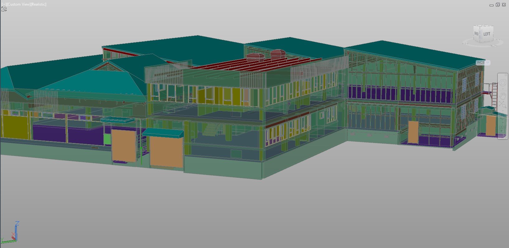
Create CAD drawings, 3D models, or BIM objects from the point cloud.
Generate sections, elevations, or floor plans if required by the client.
-
Verify model accuracy against the original point cloud to confirm correct interpretation.
Check control point alignment and coordinate system consistency.
Perform independent review or peer checking before issuing deliverables.
Document accuracy results and processing steps for the report.
-
Export final datasets such as registered point clouds (E57, RCP, LAS), CAD files, or BIM models.
Provide visualisation outputs such as Scene2Go or web-based viewers (Cintoo).
Include metadata and documentation describing coordinate systems, accuracy, and methods in the final report.
What is 3D Laser Scanning?
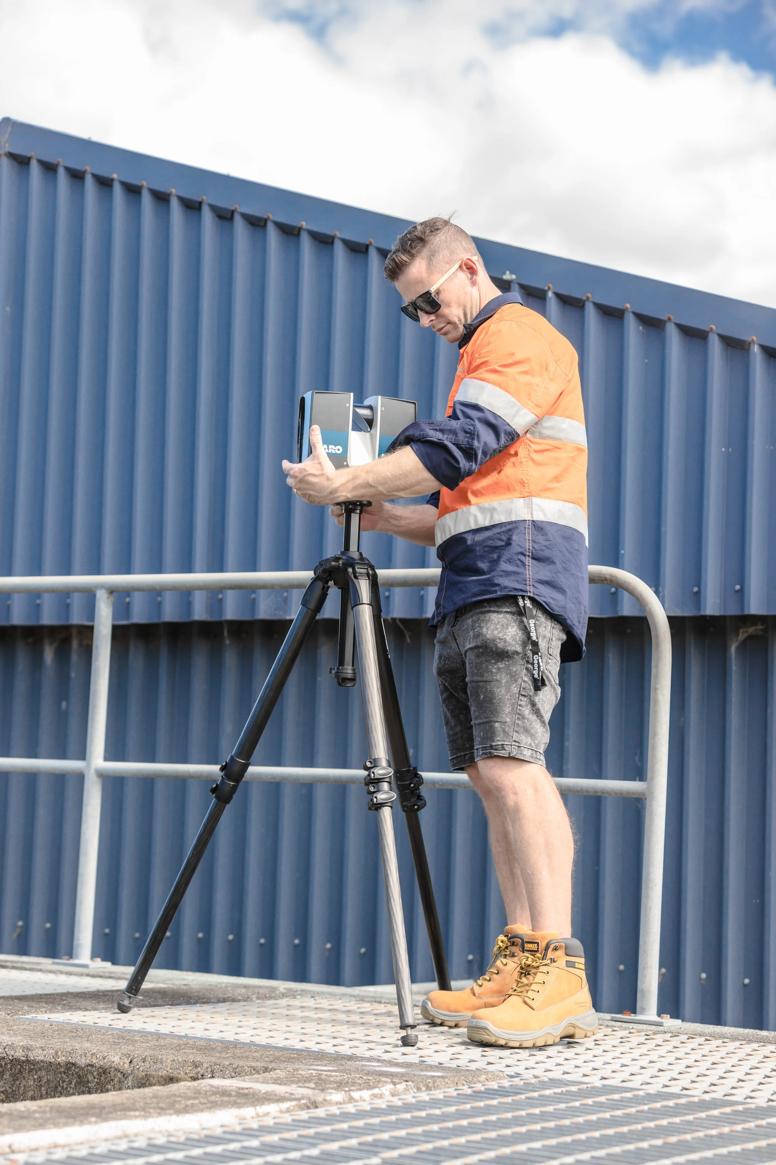
3D laser scanning is a surveying technique that uses lasers to measure and capture precise 3D data of an object or environment.
The laser scanner emits a beam of light, which is then reflected off the object or environment and recorded by the scanner. This data is then used to create highly accurate 3D models of buildings, roads, streetscapes, bridges, tunnels, and other structures, as well as to capture the details of historical artefact sites and physical landforms.
In a country like New Zealand, where the terrain is often unpredictable and demanding, 3D laser scanning technology delivers safer, faster, and more reliable results than traditional surveying methods.
Benefits of 3D Laser Scanning in NZ
Some of the advantages of 3D laser scanning include its high accuracy, speed, and ability to capture large amounts of data in a short time. It can also be used in challenging environments, such as areas with limited accessibility or hazardous conditions, making it a safer alternative to traditional surveying methods. Additionally, the 3D models generated from laser-scanning data can be easily shared and manipulated, making them valuable tools for design and planning.
High accuracy: Sub-centimetre precision suitable for design, engineering, and construction.
Time efficiency: Much faster than manual measurements for large or complex sites.
Safety: Non-contact scanning keeps surveyors out of hazardous environments.
Comprehensive data capture: Records every detail, including difficult-to-measure areas.
Reduced rework: Accurate as-built data reduces design errors and construction delays.
Versatility: Can support architectural, civil, heritage, mining, and VR/AR projects.
"Recon have helped us with aerial drone surveys, 3D laser scanning and 3D modelling work. Their work across these various services has been fantastic and I would recommend them highly. To top it off, they are consistently very responsive and timely with their work."
Yin Lee - GHD
What Deliverables Will You Receive?
We can convert our scans into detailed CAD models for component-level work, as needed.
3D CAD drawings (DWG)
Accurate 2D plans, elevations, and sections that can be used for design, engineering, construction, and asset management.
Revit models / BIM-ready outputs
Intelligent 3D models that integrate seamlessly into BIM workflows for design coordination, clash detection, and lifecycle asset management.
Scene2Go or web-based viewers (Cintoo)
Enable stakeholders to securely view, explore, and measure the scanned site remotely without requiring specialist software.
Point cloud data
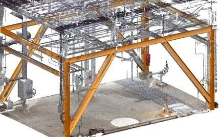
A highly accurate digital representation of existing conditions in industry-standard formats such as E57, RCP, or LAS for future modelling and analysis.
Accurate measurements
Precise dimensions, clearances, areas, and volumes directly from the scan data, reducing the need for repeat site visits.
As-built surveys
Capture and document the exact location and condition of existing structures and infrastructure to verify construction against design intent.
Quality control capabilities
Compare scanned data against design models or previous surveys to identify deviations, monitor tolerances, and support quality assurance processes.
Topographical survey data
Generate detailed terrain and site information, including natural and built features.
DTM/contours for ground modelling
Create Digital Terrain Models (DTMs) and contour datasets that accurately represent ground surfaces for earthworks design, drainage analysis, and site planning.
Need accurate 3D laser scanning in NZ for your next project? Contact our team to discuss your requirements and receive a tailored proposal.
Industries We Work With
-
Architecture, Construction, & Engineering
Pre-design 3D dimensioning and modelling
CAD and Revit model generation
QA during build by comparing the scan data to design
Integral 3D component of BIM model
Clash detection and identifying potential design issues - before building starts!
-
BIM
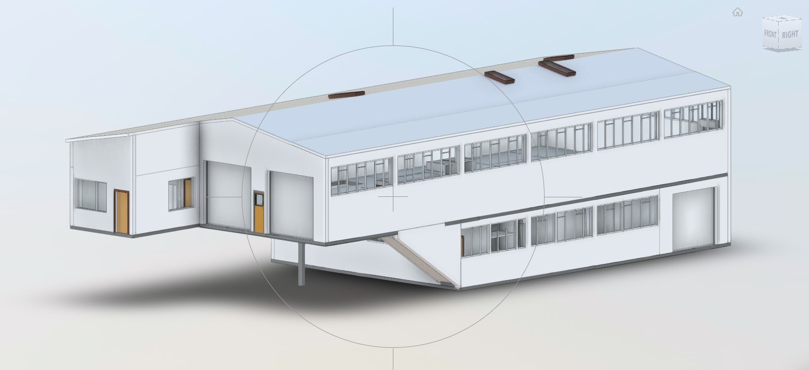
Scanning of the existing building and surrounding environment is often the first component of a successful BIM project
Generate survey-accurate 3D CAD drawings (DWG), floor plans, and elevations
Enable detailed 3D point cloud to be transformed into information-rich Revit models
Recon welcomes partnership opportunities if you think your company offers complementary services
-
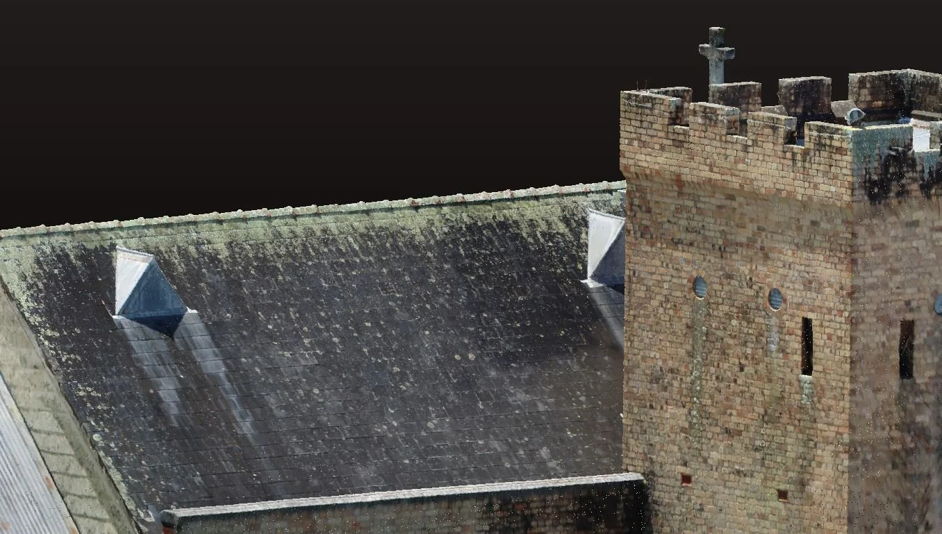
Heritage
Capture the entire site dimensions and condition quickly and accurately
Ideal for remediation work or earthquake strengthening
Generate models and templates for rebuilding key heritage components
Build informative models for teaching and AR/VR applications
Combine with UAV (drone) data for a full ground and air solution
Analyse point cloud data for structural assessment, such as wall or beam deformation
Extract topographical survey data directly from the scan point cloud
Utilise the highly visual data for marketing and promotional material
-
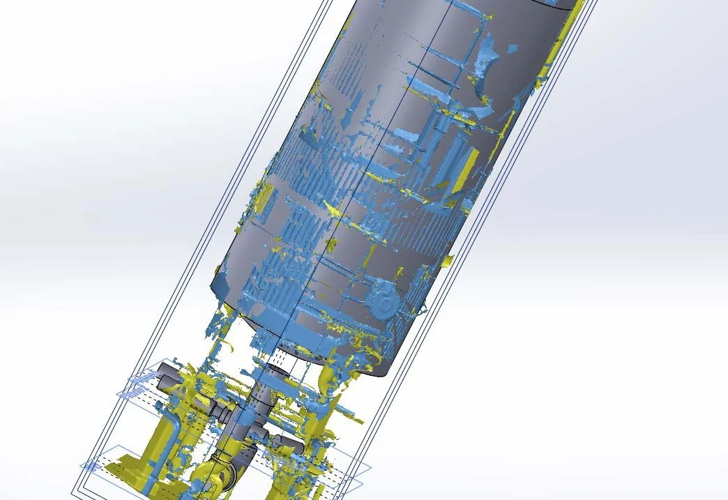
Industrial
Plant and factory 3D scanning and modelling
Boat modelling
Improve factory layout for increased efficiency
Design structures and components that fit the first time, minimise shutdowns
Precise component reverse engineering, no component is too big or too complex
As-built surveys
-
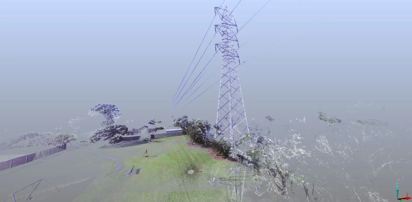
Power and Utilities
Capture and modelling of overhead wires and structures
Remote scanning of pipes and culverts
Modelling of the physical environment, enabling accurate and cost-effective design
Repeat scans to monitor and model change
Easily extract a DTM/contours for ground modelling, overland flowpath
Data supplied as point cloud or a preferred 3D model format for direct import into your software
-
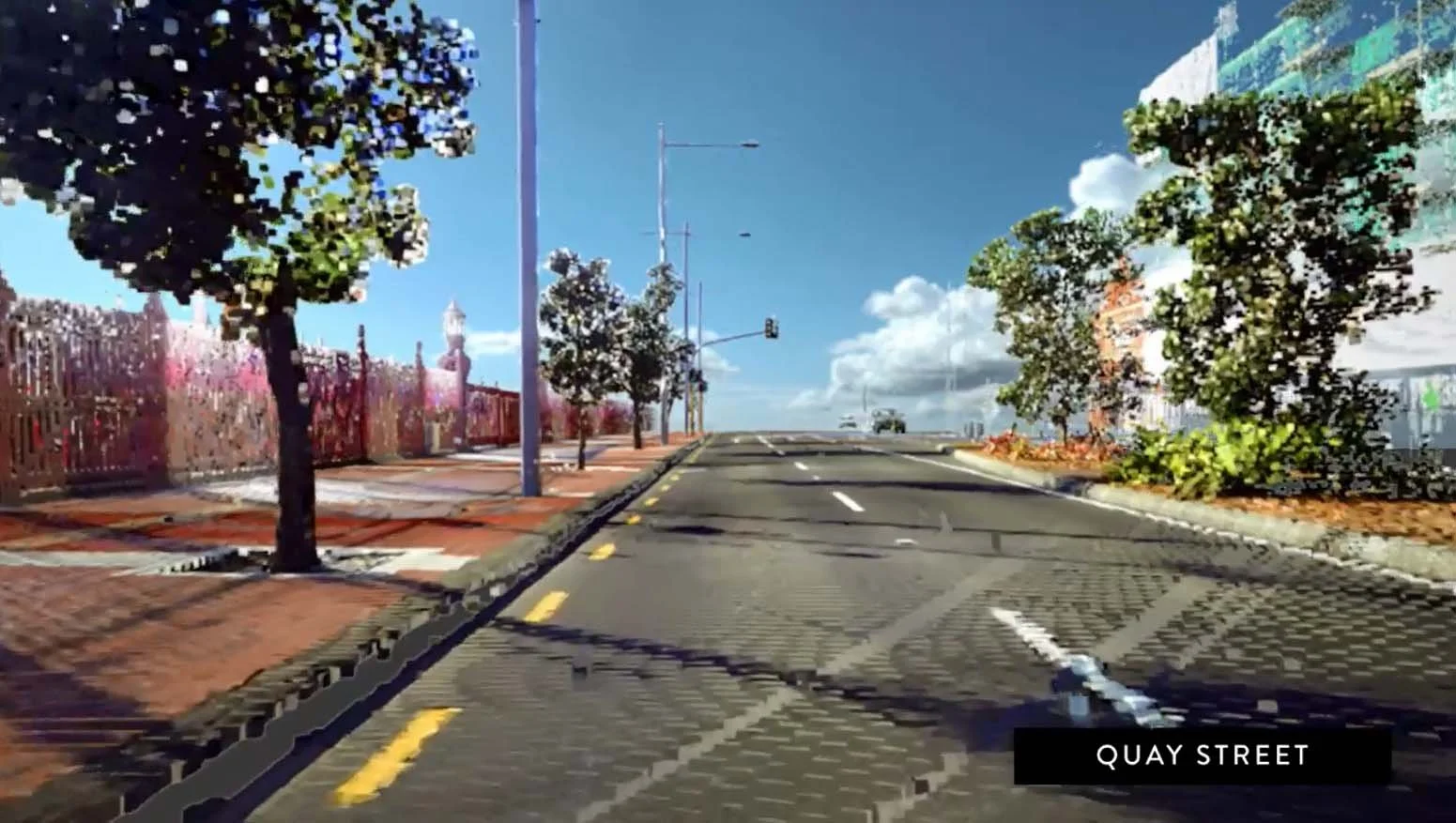
Transport
Capture all detail quickly and accurately, including overhead lines, signs, kerb and channel, road surface, surrounding buildings, walls, and fences
Capture and analyse pavement surface
Initial data is available within hours of completing scanning
Safety - no need for staff to be on the road pavement
More cost-effective than traditional survey techniques
-
Marine
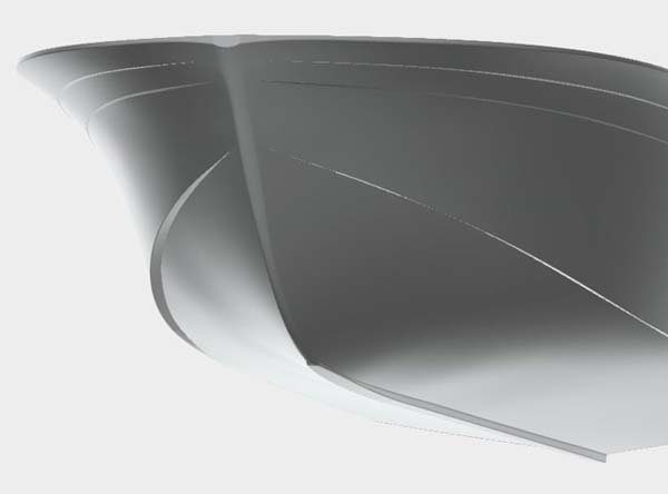
Vessel and hull 3D scanning and modelling, from small craft to large commercial vessels
Accurate digital capture of boats and yachts even where no original design plans exist
Boat and yacht modelling for new builds, refits, and repairs
Precise reverse engineering of marine components and fittings
Hull fairness and deformation analysis for structural assessment
As-built documentation to support dry dock surveys and maintenance planning
Accurate data capture in confined and hard-to-access vessel spaces
Non-invasive scanning of vessels for digital preservation and research
Case Studies
-
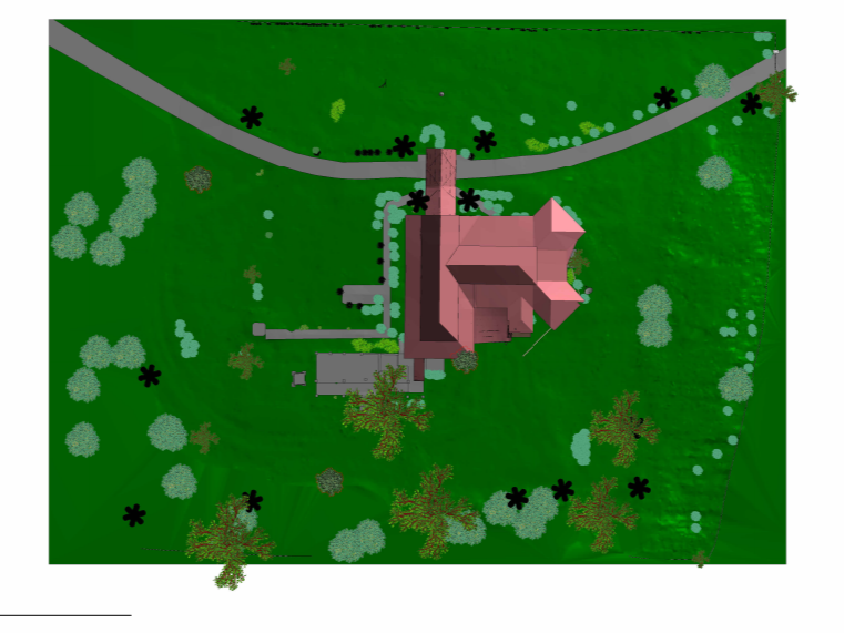
3D Laser Scan of Heritage Building, Samoa
Recon documented the historic Judge’s Residence in Apia, Samoa using 3D laser scanning and UAV surveying. The work created a detailed digital record to support heritage conservation, research, and future restoration planning.
Measurable Outcomes:
Full interior and exterior 3D scanning completed
Point cloud dataset generated for accurate measurement and modelling
Scene2Go virtual walkthrough created for remote access
Site orthophoto captured via 40 m UAV flight
Baseline digital record established for monitoring future changes and conservation work
-
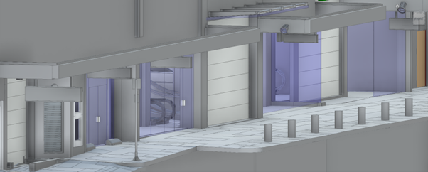
3D Laser Scanning for Large Scale Redevelopment Project Auckland CBD
3D laser scanning for the 15-level redevelopment of 280 Queen Street, Auckland, capturing all internal floors, rooftop, and exterior structure with high precision. The survey-controlled data was converted into a full Revit model and 360° walkthroughs, providing architects and builders with precise, up-to-date information. This reduced site visits and improved coordination across the large-scale mixed-use project.
Measurable Outcomes:
15 levels fully scanned, plus rooftop and exterior
1mm survey-grade scanner used to capture all visible elements
Complete Revit model and 360° digital walkthrough delivered
Reduced site visits and improved design coordination
Faster decision-making and measurable time and cost efficiencies
Request a 3D Laser Scanning Quote
Call us for a quote and see how we can support your next project. We service Auckland, Waikato, Bay of Plenty, Northland, and NZ-wide, typically responding to enquiries within one business day.
Frequently Asked Questions
How does 3D laser scanning work?
3D scanning in Auckland (terrestrial laser scanning) uses lasers to capture millions of precise measurements of objects or spaces, creating a detailed point cloud that can be turned into 3D models.
How accurate is 3D laser scanning?
It can achieve sub-centimetre down to even a few-millimetre accuracy, suitable for design, engineering, and surveying purposes.
How long does a 3D scan take?
3D laser scanning services are typically faster than traditional measurement methods. Small spaces may take under an hour, while large or complex sites can take several hours.
What deliverables will I receive?
Deliverables can include point clouds, 3D CAD/BIM models, meshes, orthophotos, and visualisations in formats like IFC, DWG, or RCP.
What types of projects is 3D scanning suitable for?
3D reality capture is ideal for building renovations, heritage preservation, factory re-design and installation of new equipment, clash detection, construction, architecture and engineering projects such as earthquake strengthening design. It can also be used for tunnel mapping, bridge, and other structure as-builts, as well as residential renovations.
How much does 3D laser scanning cost?
Cost depends on site size, complexity, required accuracy, and the deliverables you need. Small single-room scans cost less than multi-level buildings or large infrastructure projects. Contact us with your project details for a tailored quote.
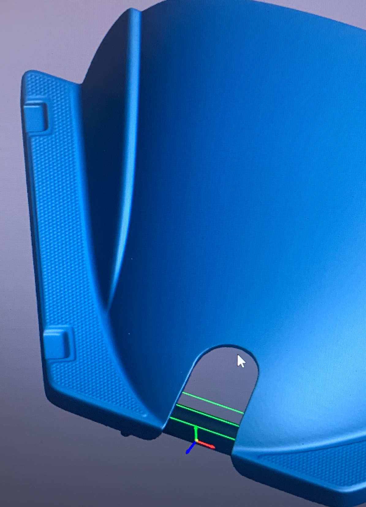
3D Scan to CAD Reverse Engineering
Our portable 3D scanning services are ideal for reverse engineering and inspection purposes. We can transform your part into a 3D CAD model efficiently and effectively, regardless of location or environment.