
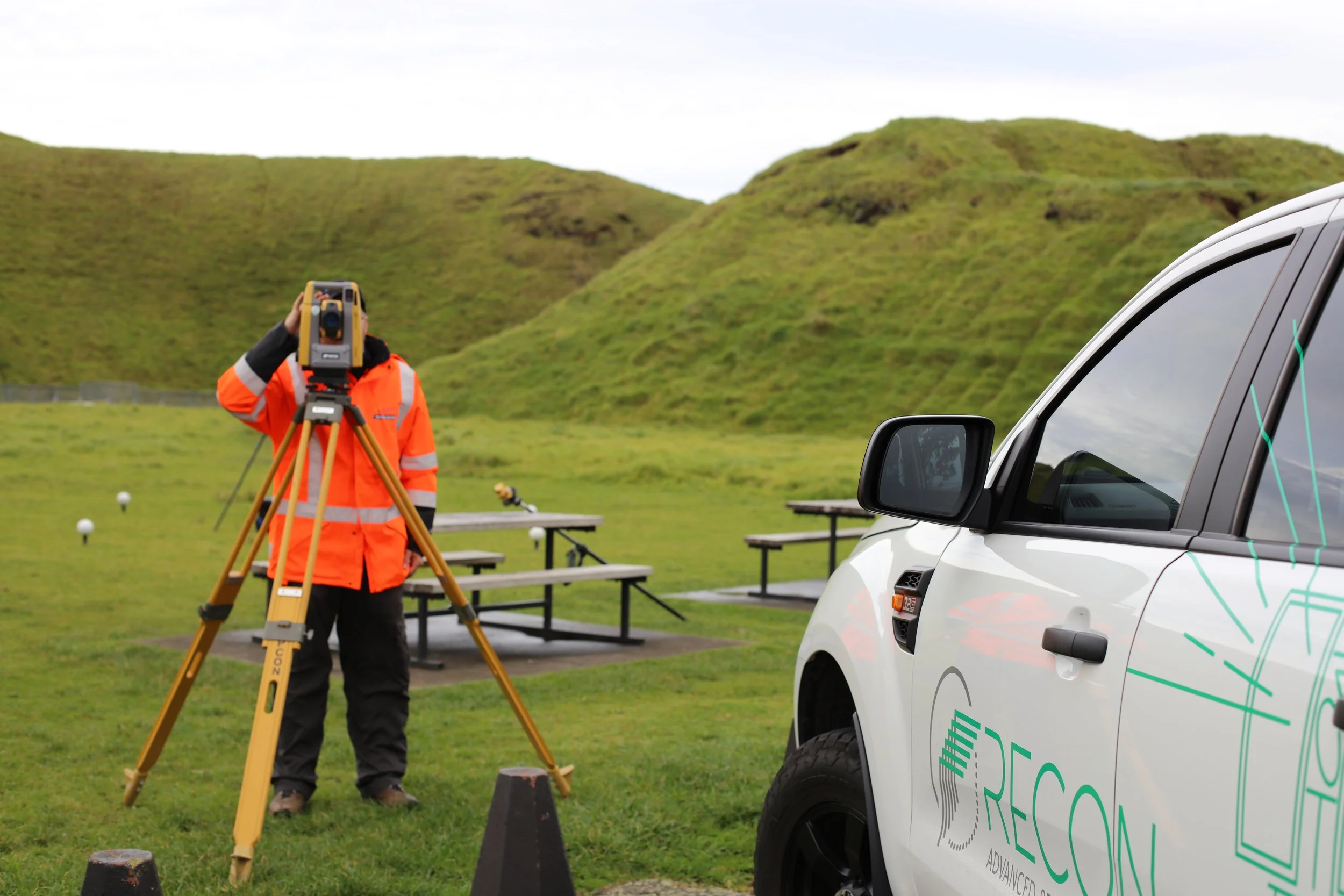
Trained and experienced land surveyors
We provide accurate and reliable surveying solutions for assessing construction projects, planning, and ensuring compliance from conception right through to set out and as built.
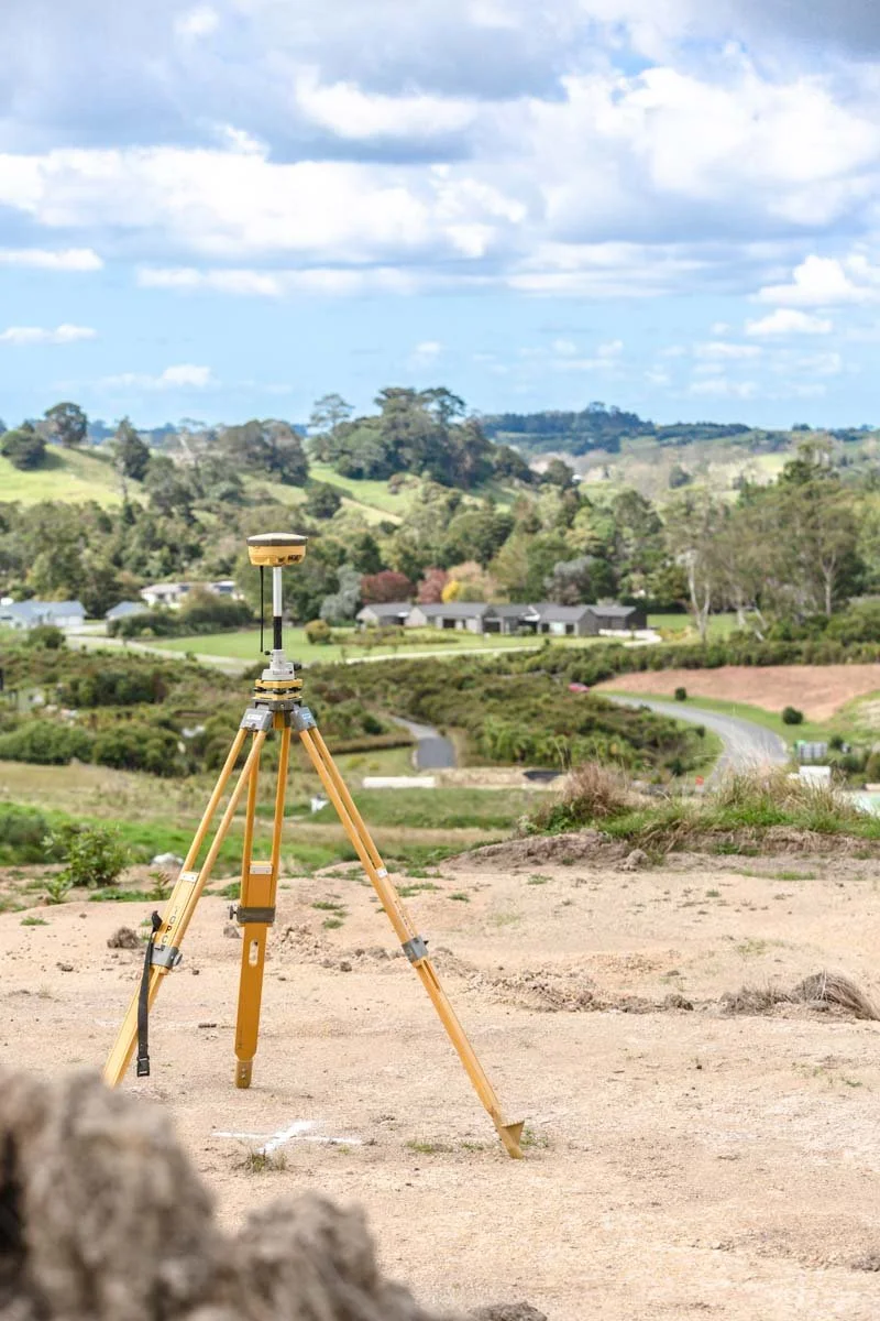
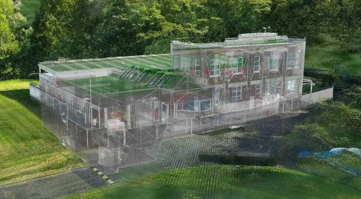
Our surveying projects uses the latest Topcon GNSS and robotic total station equipment, ensuring accuracy tolerances are maintained throughout the entire site. It also enables the precise merging of spatial data sets, such as 3D laser scanning and UAV-derived point clouds.
Our surveying services includes:
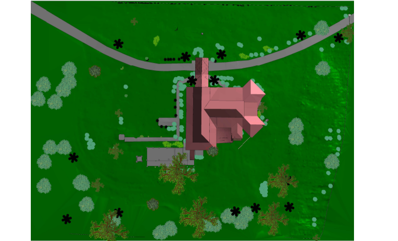
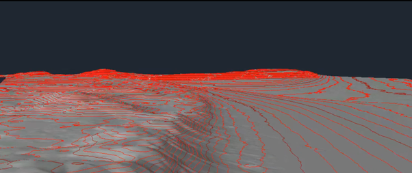
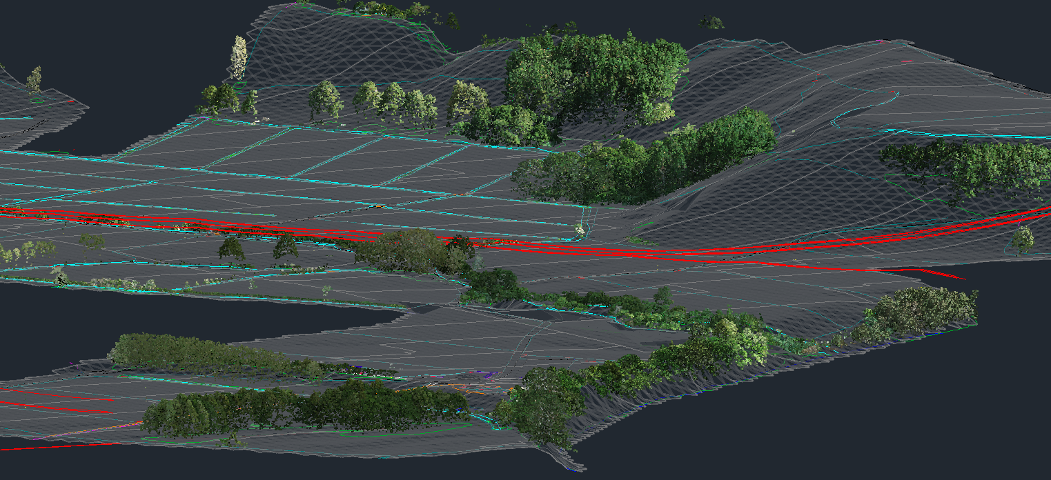
Topographic surveys
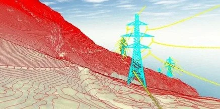
UAV and 3D laser scanning control
Construction surveys
Monitoring and deformation surveys
Asphalt paving and milling level control
As-built surveys
CAD design
Civil surveys
Volume calculations
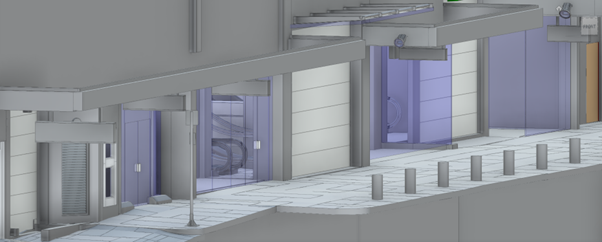
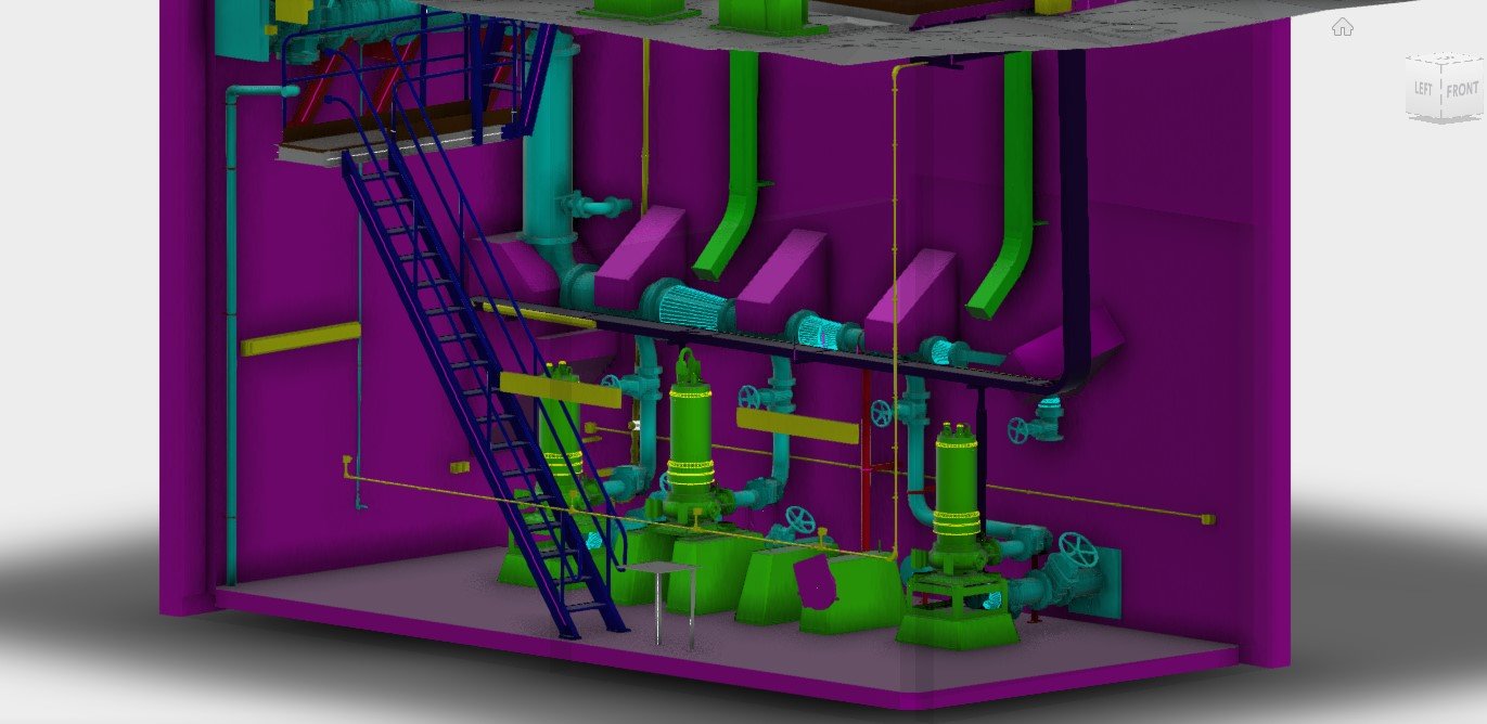
Industrial and plant
Coastline surveys
Mine surveys
-
It all begins with establishing a reliable datum, to ensure your data relates to previous and future surveys. Control surveys can be completed using a total station or GNSS receivers.
-
Whether a control survey or full topographic survey outputs typically include drawings (DWGs) and PDF outputs.
-
CAD software allows comparative surfaces to be loaded and calculations performed, including cut and fill volumes.
-
On the completion of a project its common to prepare a survey report with all results from the initial control survey through to verification checks.
Case Studies
Contact Us for Land Surveying Services
Location
Based in Auckland
Phone
0800 732 669
Email
info@recon.nz
Recon Ltd was contracted to aerial survey the pond using a drone with a special camera filter approximately 1 week after each treatment over two separate trials.