

TerraExplorer
TerraExplorer for Desktop
Create, view, analyse & share high-resolution 2D & 3D geospatial data
A cutting-edge 3D GIS desktop viewer and creator that provides powerful tools and a high resolution 3D environment in which to view, query, analyse and present geospatial data. With TerraExplorer’s robust and extensive capabilities and ever-increasing interoperability, stunningly realistic 3D visualisations can be created by overlaying the terrain with unlimited data layers, 3D models, virtual objects and more.
Visualise
Overlay terrain with imagery and elevation, 3D mesh, BIM, CAD, Lidar point cloud, and feature (vector) layers, and your own custom data. TerraExplorer enables you to create a breathtaking, digital twin that can be used to optimise asset management and tracking.
Analyse
Powerful measurement, terrain analysis, line of sight, change detection/comparison and spatial analysis tools make it easy to extract vital intelligence from your geospatial data. This drives smarter decisions in mission planning, urban planning, inspection, and more…
Create
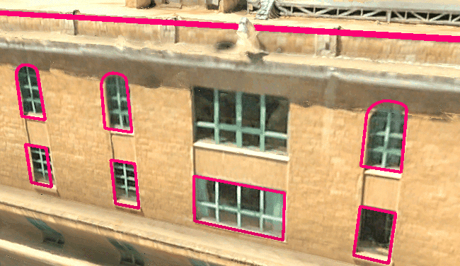
Add or edit point, polyline, and polygon features by digitising on the terrain, point cloud or 3D mesh model. Create strikingly accurate 3D visualisations of engineering and surveying sites that provide critical topographical and geographical information.
Inspect
View and inspect your PhotoMesh 3D models (tower, bridge, construction site, etc.) from within TerraExplorer, together with the source photos used to produce them. You can also create inspection feature layers in which you mark and measure areas (e.g., that require retouching) in your 3D model or on photos in the Photo Inspector.
Use With Your Existing Technology

TerraExplorer is designed with interoperability and flexibility at its core, allowing you to build and share geospatial projects quickly and easily. TerraExplorer supports a wide range of read and write formats including:
Imagery and elevation layers in OGC WMS/WMTS, Tiff, JPEG, MrSID, ECW, IMG…
3D mesh layers in 3DML, 3D Tiles, OSGB and I3S/SLPK
Feature layers in OGC WFS/WFS-T, Shapefile, KML, SQLite, GeoPackage, ArcGIS Server, Oracle database and other local and online
CAD in DWG or DXF; BIM in FBX or IFC
Point cloud layers in LAS/LAZ