
About
Recon staff come from a variety of backgrounds, from land surveying and aerial mapping, to telecommunications, manufacturing and 3D design. Recon has worked with a range of companies and organisations, satisfying clients' needs, regardless how challenging, is the number one goal.
-
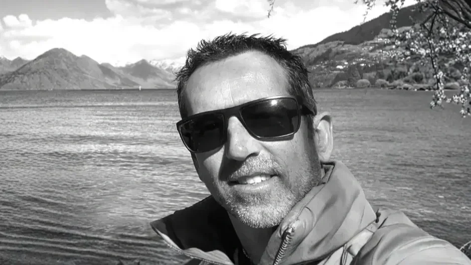
JEREMY
SURVEYOR | DIRECTOR
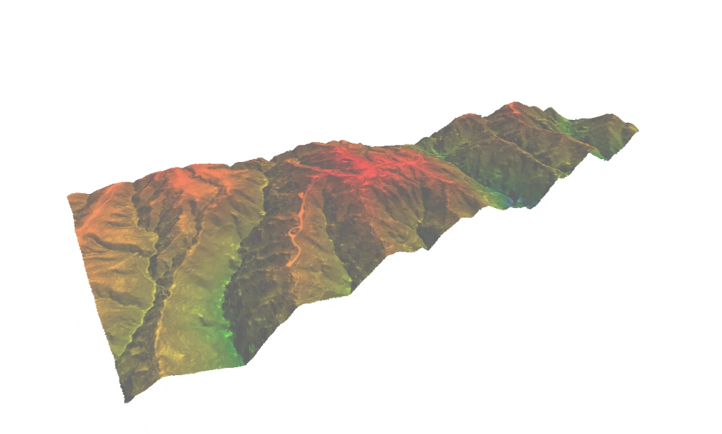
Recon's Managing Director Jeremy Neilson has a wide degree of aerial mapping and surveying experience. Prior to Recon, Jeremy developed his consultancy skills and knowledge within a fixed wing aerial mapping business. Jeremy also says that, while the hardware might be scaled down somewhat, the technologies and methodologies involved in Unmanned Aerial Vehicle (UAV) mapping results in higher resolution, greater accuracy geo-referenced spatial data.
“My role within Recon is to talk with our clients about their mapping and surveying needs so we can assess how best to get the data they require. We’ve a number of high tech solutions that are both cost and time effective, meaning aerial mapping is no longer the preserve of only the bigger projects.”
Recent advances in the design of robust and adaptable UAV technology means a more cost-effective mapping solution is now available for a much wider variety of projects. “The ability to fly under cloud and dispatch data extremely quickly after it’s captured is helping to establish UAV mapping as the tool of choice across multiple industries,” says Jeremy. Jeremy is looking forward to exploring the true potential of the technology in a variety of markets and introducing smaller entities to the feasibility of UAV mapping.
-
BEN
OPERATIONS MANAGER
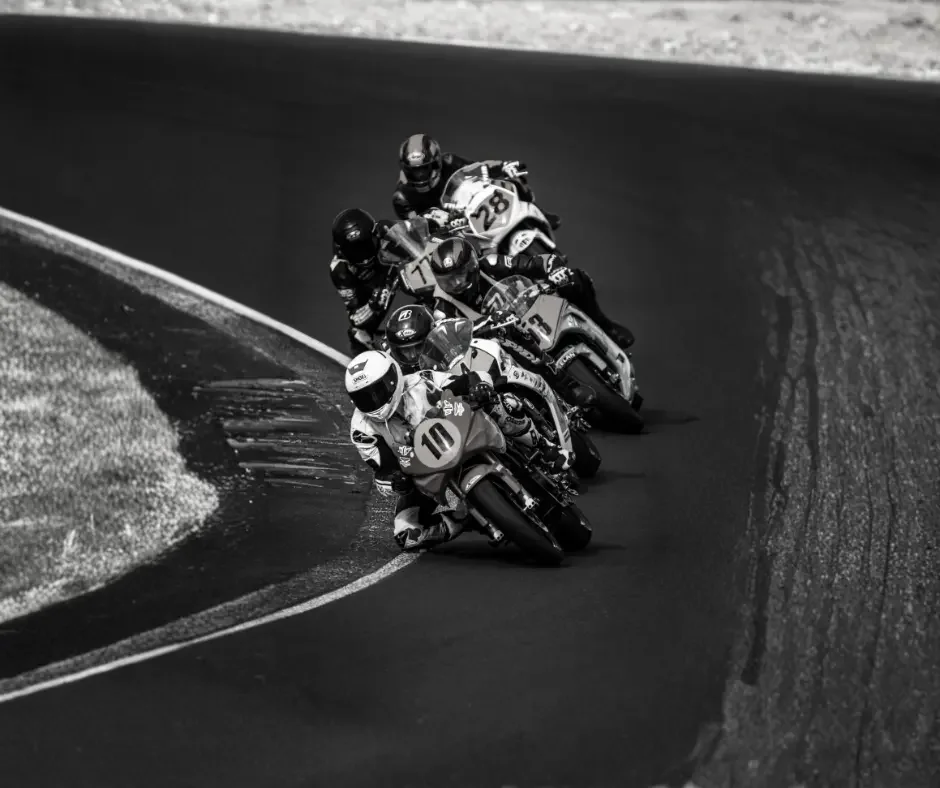
A love of motorsport led Recon’s Ben Cook towards a career in engineering and design in his native England, where he worked for eight years producing CNC machined components for high performance Formula One cars for the high-profile Toyota and McLaren teams, and MotoGP motorcycle parts for the Sauber team during that sport’s two-stroke era.
Now based in New Zealand and part of our team as Recon’s UAV Prime Person, 3D modelling and laser scanning expert, Ben works with Recon clients in order to gather high definition aerial and terrestrial scan data for processing. His background in engineering and design means he’s well-equipped to liaise with clients in order to establish and complete their scanning needs.
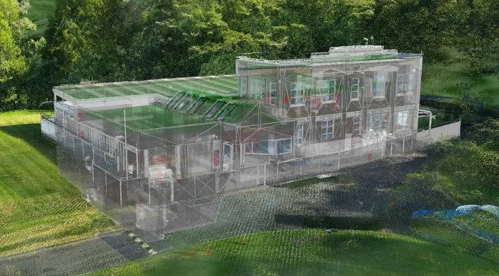
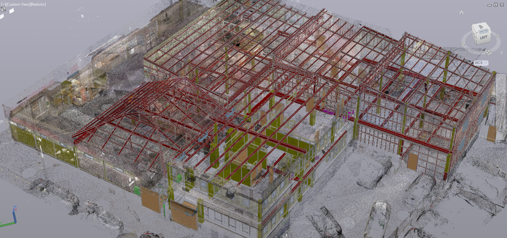
Ben captures structures using high speed FARO laser scanning technology, creating meshes and models from which Recon clients can assess data for a multitude of task solutions.
When not at work, Ben loves racing in the Hyosung 250 Cup, proving that while he might have left MotoGP behind professionally, his interest in high-performance engineering and technology – not to mention out-and-out speed – remains strong.
-
MATT
UAV PILOT | SURVEYOR
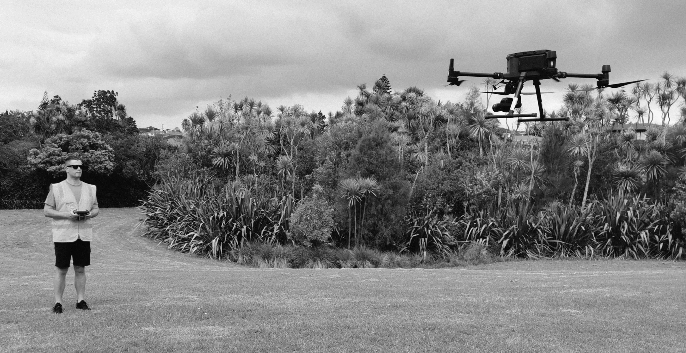
With a surveying background of over 10 years, Matt’s interest in advanced spatial data capture has led him to Recon, as a professional UAV pilot. The variety of UAV mapping projects has only enhanced his curiosity with the numerous possibilities that photogrammetry can provide.
Matt operates over a range of sites, from small lot subdivisions to large scale rural properties across Aotearoa, working alongside Recon clients, to efficiently record and deliver reliable data. His surveying knowledge also allows conventional feature capture in otherwise challenging environments.
In his spare time, you’ll find Matt working on scale car model kits, creating home projects, and enjoying the great outdoors with his wife and two sons.
-
DARCY
UAV PILOT
Darcy has been passionate about drone technology since it first entered the consumer market. With three years of industry experience and a tertiary education behind him, he has built a strong foundation in both the technical and practical aspects of unmanned aerial systems. After relocating from Australia to New Zealand, Darcy transitioned into working full-time in the drone industry, further sharpening his expertise.
What began as a hobby has evolved into a comprehensive skill set spanning sales, servicing, minor repairs, and a wide range of piloting scenarios across different aircraft platforms. Darcy is confident operating in challenging and hard-to-reach environments, delivering reliable solutions where precision and adaptability matter most.
Outside of work, Darcy thrives in the outdoors. Whether he’s skiing, camping, hiking, four-wheel driving, or riding motorcycles, he’s always seeking his next adventure.
-
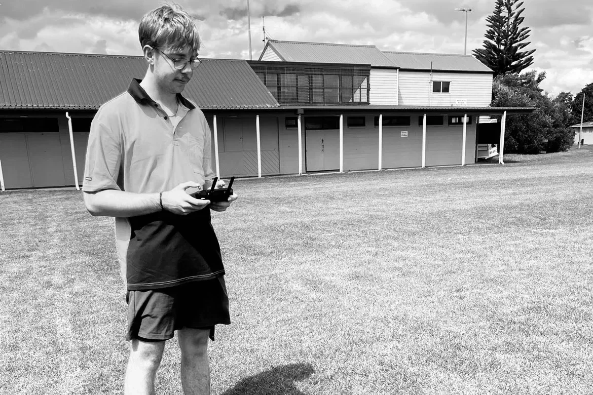
ZACK
UAV PILOT
Despite only recently finishing high school at Macleans College, Zack has already gained nearly two years of experience as a survey assistant. In this role he has developed strong practical, hands-on skills in the field, further strengthening his technical abilities, and growing interest in spatial data and surveying. Zack is a Certified Drone Pilot.
From a young age, Zack has been drawn to technology and video games — an interest that naturally evolved into a fascination with drones and the wide range of possibilities they offer.
Originally born in South Africa, Zack now proudly calls New Zealand home. Outside of work, he enjoys spending time outdoors, whether overlanding, travelling, or exploring new places. By combining his passion for technology with his love of the outdoors, pursuing a career in drones has proven to be a natural and exciting fit.
-
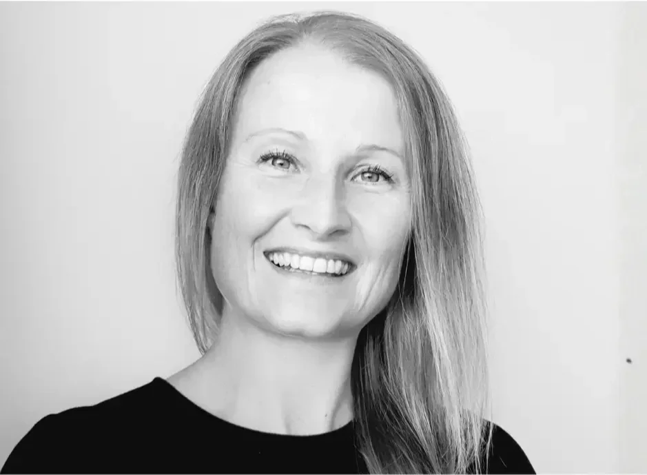
ANNA
BUSINESS DEVELOPMENT MANAGER
Anna has worked both in the UK and New Zealand, and is experienced in business management, operations and small business development.Having completed a Business Degree, and holding Project Management qualifications, Anna has strong organisational skills, and enjoys nothing more than streamlining processes, and improving productivity.
Anna really enjoys working for small businesses, and the role diversity they provide, and of course the friendly vibes!
In her free time, Anna enjoys trail running, camping and fishing (all things outdoors) with her husband and three boys. Anna is also actively involved with Ponsonby Rugby club, having managed teams for 10 years.
Lets Work Together.
Case Studies
Recon Ltd was contracted to aerial survey the pond using a drone with a special camera filter approximately 1 week after each treatment over two separate trials.