
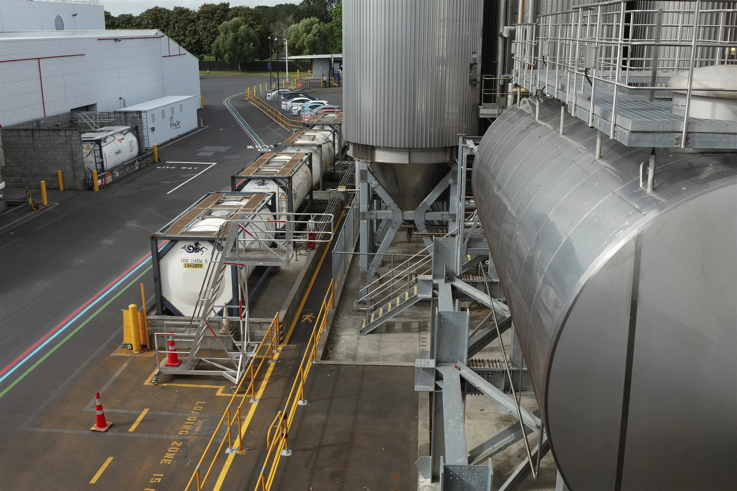
3D Laser Scanning and Modelling for Industrial Sites
As-built models of plant, factories and components, so new equipment fits first time and shutdowns stay short.
Industrial sites change constantly: new lines, new equipment, new services, and drawings that never quite keep up. Recon captures plant rooms, factories, processing plants and individual components in 3D, and supplies point clouds and CAD or Revit models your engineers can design from with confidence.
The Problems We Help Solve
Fast, non-contact capture, often during normal operation.
-
Scan what’s there, not what the drawings say.
-
Clash checks in the model, including the route to bring new equipment into place.
-
Fabricate off-site with confidence and install in the shortest possible window.
What We Do
-
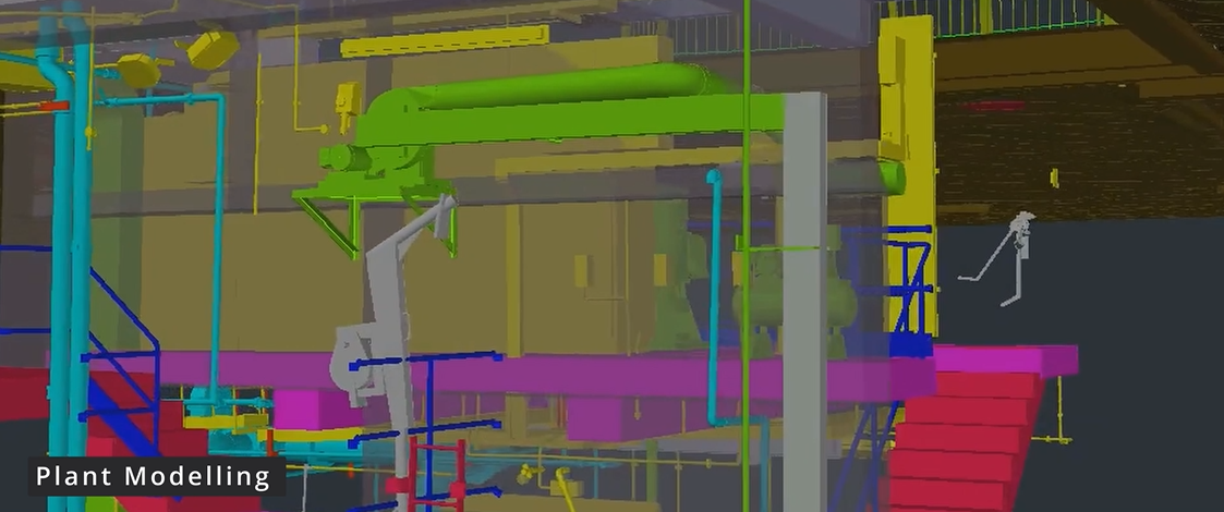
Plant & Factory Scanning
MEP and structure captured in congested and elevated areas, ready for layout changes and clash checking.
-
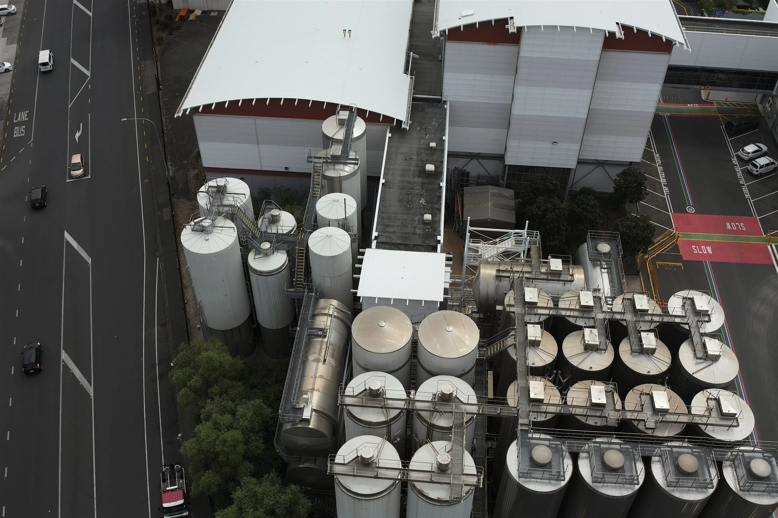
Site Mapping & Stockpiles
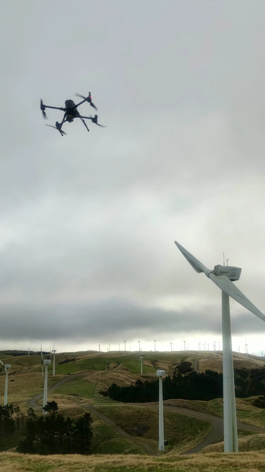
Drone mapping of whole sites, roofs and yards, plus regular stockpile volume surveys.
-
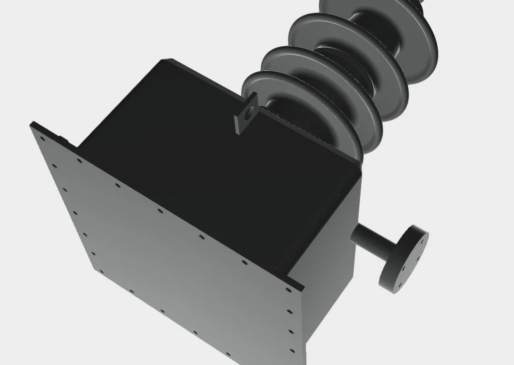
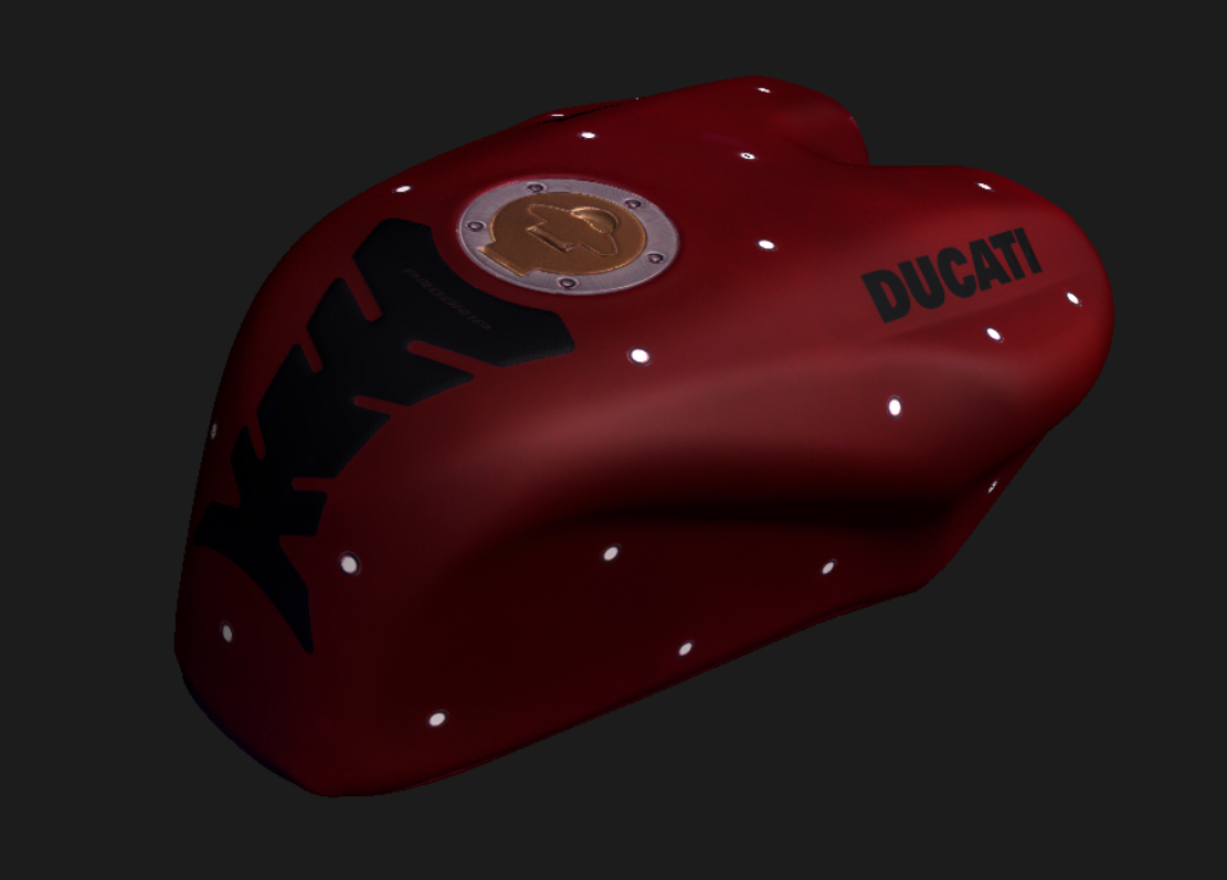
Reverse Engineering
Worn, obsolete or undrawn parts scanned and modelled in CAD for remanufacture.
Reverse Engineering Components, Products and Boats
When a part is worn, obsolete or was never drawn, we scan it and produce an accurate CAD model for remanufacture, modification or quality checks.
For an accessible-sailing charity, Recon scanned a Hansa yacht for which no formal design plans existed. The scan data now supports a virtual-reality sailing simulator. We've also laser scanned a 30 m radio telescope at different elevations to measure how its dish deforms under gravity.
Projects Across New Zealand
A selection of recent industrial projects. Client names are withheld; we're happy to provide references.
Auckland: 3,000 m² commercial and warehouse site. One-day scan and drone roof capture; Revit model.
South Auckland: three adjoining commercial buildings. 100+ scans in six hours; IFC and DWG models.
Auckland: wastewater pump stations. Scanning and CAD modelling of plant, pipework and cranes.
Auckland: Hansa yacht for an accessible-sailing charity. 3D scan to digitise a yacht with no design plans.
Auckland region: 30 m radio telescope. Repeat scans at different elevations to measure dish deformation.
Waikato: dairy processing plant. 3D scanning of plant for upgrade design.
North Island: heavy-industry site. Regular drone stockpile volume surveys.
How We Deliver
We agree what to capture and model, and plan around production, shutdowns and site rules.
Scope & plan
Two FARO scanners at once, accurate to <2 mm point to point, capturing elevated and congested areas safely.
Scan on site
Point clouds usually within 3–5 working days; DWG, IFC, Revit and mesh outputs, plus a free Scene2Go viewer.
Model & deliver
Certified, Safe and Fully Compliant
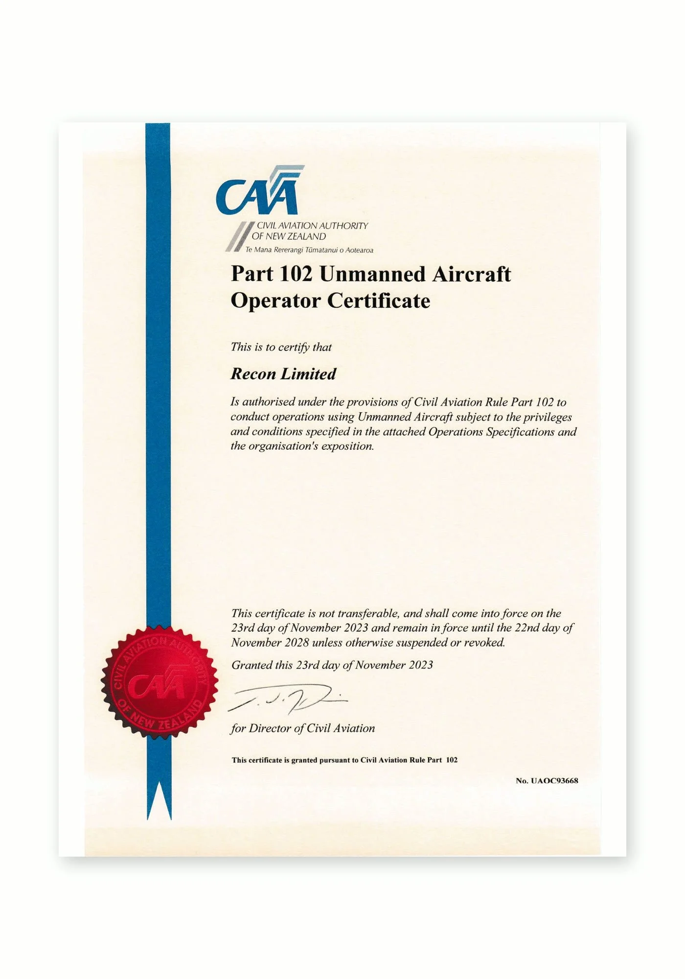
Recon is a CAA Part 102 certificated unmanned aircraft operator. Part 102 is the Civil Aviation Authority of New Zealand’s certification for commercial drone operators who need to work beyond the standard Part 101 rules, and it is only granted once the CAA has reviewed and approved how an operator identifies and manages every hazard and risk.
What Part 102 certification means for your project:
More places we can fly: our certificate allows us to be approved for work that standard Part 101 rules restrict, such as flying over people or property, near aerodromes or in controlled airspace, subject to the conditions of our certificate and the required permissions.
A CAA-approved exposition: every operation follows our approved procedures for pilot competency, aircraft maintenance, flight planning and emergency response.
Job-specific risk management: each inspection includes a site risk assessment, airspace checks and coordination with air traffic control, landowners and site managers where needed.
Ongoing CAA oversight: as a certificated operator we are subject to CAA audits, giving asset owners and principal contractors confidence that the work meets New Zealand aviation safety standards.
Alongside our Part 102 certification, Recon holds SiteWise Gold accreditation and is a Site Safe member, so our health and safety systems meet the expectations of New Zealand’s leading contractors and asset owners.
Industrial FAQs
-
Usually, yes. Scanning is non-contact and we work around operating equipment under your site rules. Where areas are only accessible during a shutdown, we plan to capture them in the shortest possible window.
-
Our scanners are accurate to better than 2 mm point to point. Registered point clouds are typically accurate to a few millimetres across a plant, which suits fabrication and clash checking.
-
Point clouds (Autodesk ReCap RCP/RCS, E57, LAS), CAD (DWG), Revit and IFC models, and meshes or STEP files for reverse engineering. We can also supply a free Scene2Go viewer, so anyone can walk through the scan.
-
Your designers place new equipment, pipework or steel into the point cloud or model and check for clashes with what’s already there, including the route to bring new equipment in.
-
Yes. We scan the part, in place or in our workshop, and model it in CAD for remanufacture, modification or comparison with the original design.
-
It depends on size and congestion. A typical plant room takes a few hours, and a large factory a day or two. Running two scanners at once keeps time on site to a minimum.