
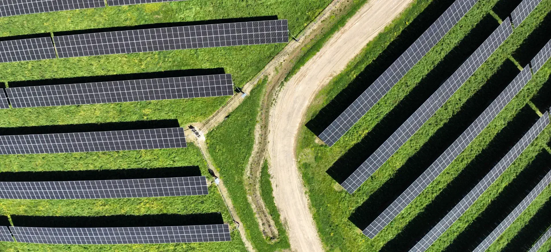
Solar & Wind Farm Surveys
Drone LiDAR, topographic and feature surveys for solar and wind farm developers, from feasibility to as-built.
Before a solar or wind farm can be designed, developers and engineers need to know exactly what's on the ground: levels and drainage, vegetation, fences and tracks, existing power lines and underground services. Recon captures all of this with drone LiDAR, high-resolution aerial photography and GNSS field survey, and delivers it as one design-ready dataset. We've surveyed sites from Northland to Canterbury, from 40 ha arrays to 300 ha developments.
Survey Data for Every Project Stage
One survey approach that carries through feasibility, design, construction and operation.
-
Fast LiDAR and aerial capture shows slope, aspect, drainage, vegetation and setbacks from existing lines, so you can rule sites in or out early.
-
A full topographic and feature survey for civil, electrical and hydrology design, with ground models extending beyond the boundary for flood and drainage studies.
-
Repeat flights track earthworks and progress, and we check installed equipment heights against the design and ground model.
How We Survey a Solar Farm
-
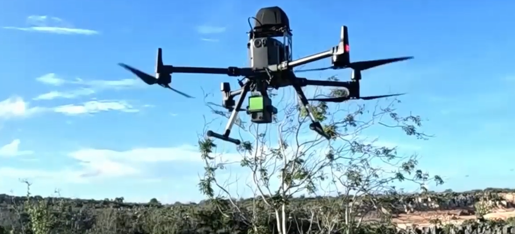
Drone LiDAR & Aerial Photography
Captured at 300–400 points per square metre with 4 cm orthophotography, so we can map the true ground under crops and vegetation.
-
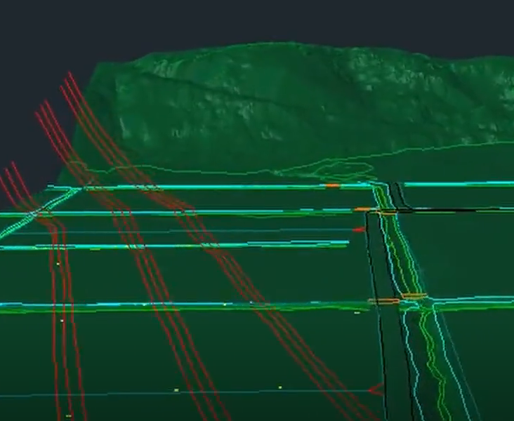
Terrain Model & Features
Ground points are separated from vegetation for an accurate terrain model, and drains, culverts, fences, tracks, poles, lines and trees are digitised into CAD.
-
GNSS Survey & Checks
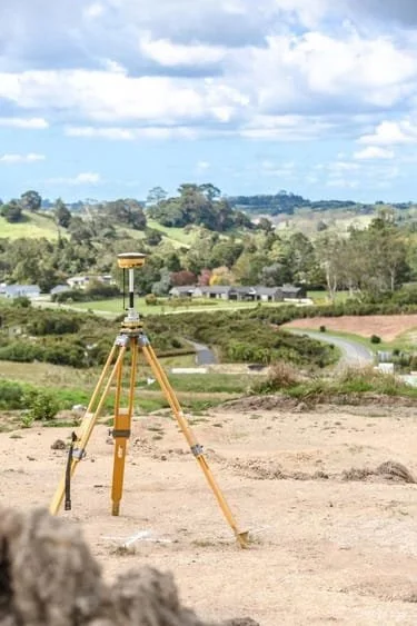
Anything that can’t be seen from the air is surveyed on the ground, and every dataset is checked against independent check points.
Wind Farm Surveys
Wind farm projects need accurate data over large, steep and often remote terrain: turbine platforms, access and haul roads, cable routes and the surrounding catchments.
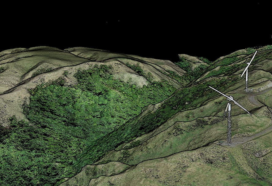
For a wind farm repowering project in the lower North Island, Recon surveyed the wind farm and its haul roads with drone LiDAR and aerial photography for an engineering consultancy. The data supported design of road upgrades, turbine transport, earthworks and environmental assessment.
Projects Across New Zealand
A selection of recent solar and wind projects. Client names are withheld; we’re happy to provide references.
Northland & Taranaki: proposed utility-scale solar sites. Drone LiDAR, aerial photography and feature extraction for site assessment.
Bay of Plenty: solar farm of ~230 ha. Survey control with permanent marks, drone LiDAR, aerial photography and ground model.
Bay of Plenty: solar farm of ~70 ha. LiDAR ground model plus ~260 equipment heights checked across 40 ha of installed array.
Manawatū / Tararua: wind farm repowering. Drone LiDAR and aerial photography of the wind farm and haul roads.
Canterbury: solar farm of ~300 ha. Full topographic and feature survey, drone LiDAR and aerial photography, with a buffer for hydrology studies.
How We Deliver
We agree the site, accuracy, deliverables and coordinate system (NZTM2000, local circuits such as BOP2000, NZVD2016), then prepare flight and safety plans and notify landowners.
Scope, plan & approve
Survey control with permanent marks, then drone LiDAR and aerial photography, plus GNSS survey of features that can't be seen from the air.
Capture on site
Unclassified LiDAR and surface models can be ready within about 4 working days of capture, with full deliverables typically 2–3 weeks after capture.
Process & deliver
Certified, Safe and Fully Compliant
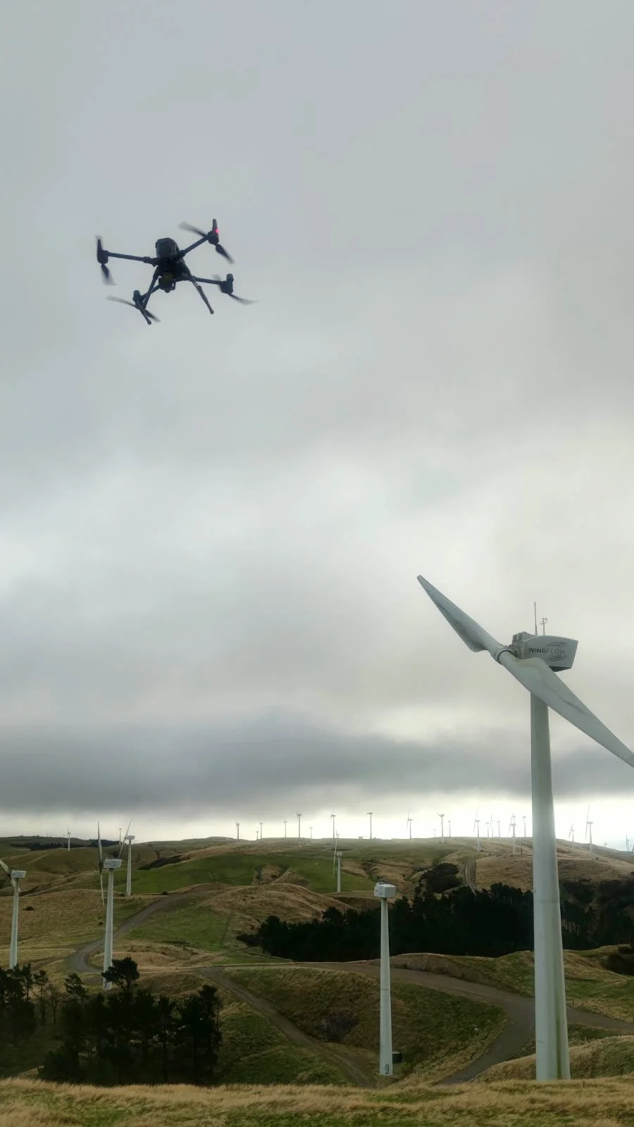
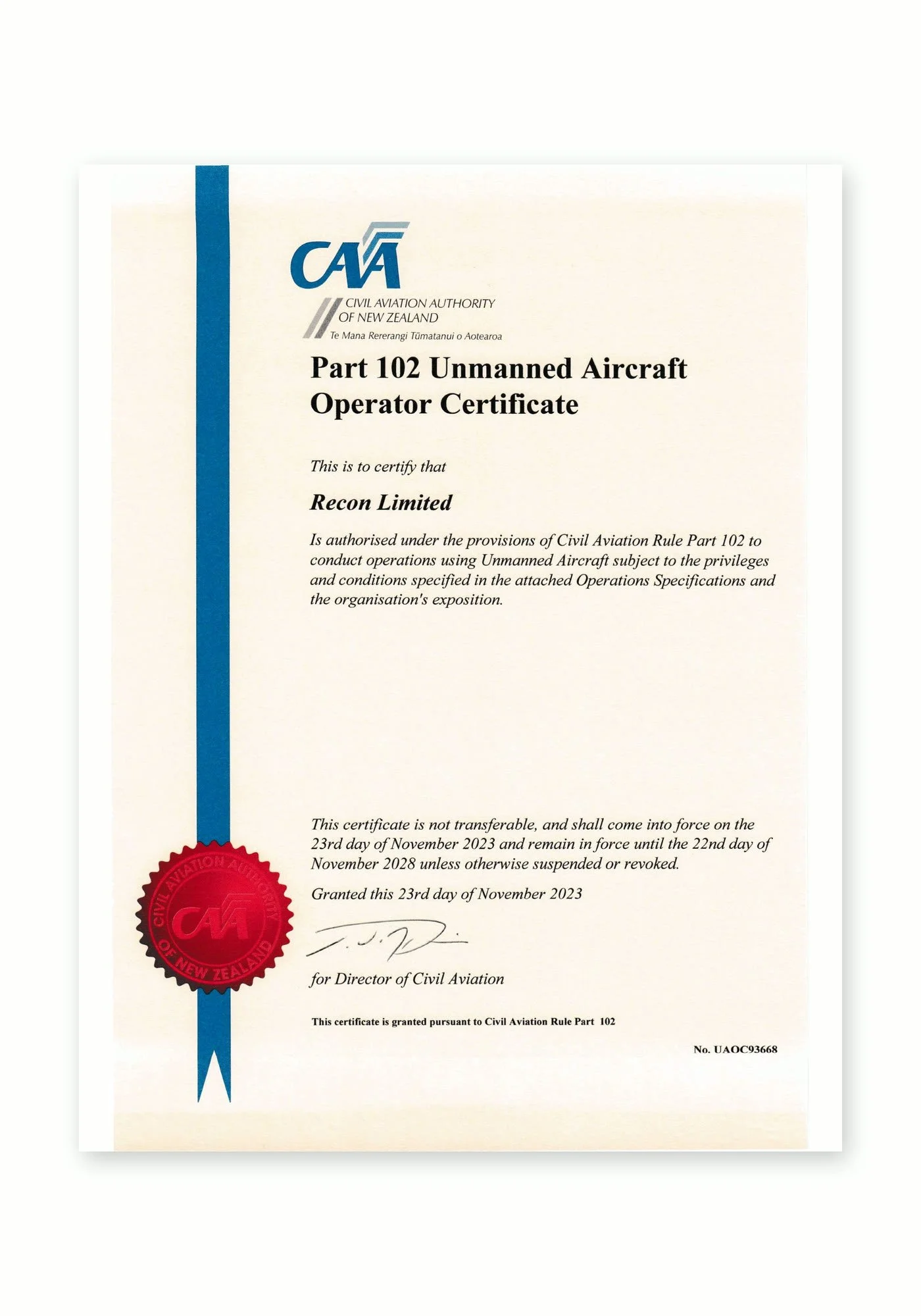
Recon is a CAA Part 102 certificated unmanned aircraft operator. Part 102 is the Civil Aviation Authority of New Zealand’s certification for commercial drone operators who need to work beyond the standard Part 101 rules, and it is only granted once the CAA has reviewed and approved how an operator identifies and manages every hazard and risk.
What Part 102 certification means for your project:
More places we can fly: our certificate allows us to be approved for work that standard Part 101 rules restrict, such as flying over people or property, near aerodromes or in controlled airspace, subject to the conditions of our certificate and the required permissions.
A CAA-approved exposition: every operation follows our approved procedures for pilot competency, aircraft maintenance, flight planning and emergency response.
Job-specific risk management: each inspection includes a site risk assessment, airspace checks and coordination with air traffic control, landowners and site managers where needed.
Ongoing CAA oversight: as a certificated operator we are subject to CAA audits, giving asset owners and principal contractors confidence that the work meets New Zealand aviation safety standards.
Alongside our Part 102 certification, Recon holds SiteWise Gold accreditation and is a Site Safe member, so our health and safety systems meet the expectations of New Zealand’s leading contractors and asset owners.
Solar & Wind Farm FAQs
-
On open, hard ground our drone LiDAR is accurate to better than ±50 mm vertically and ±100 mm horizontally. Every survey is tied to the LINZ geodetic datum and checked against independent ground points, and we supply an accuracy statement with the data.
-
Yes. LiDAR pulses pass through gaps in vegetation, so we can classify ground points underneath and build a reliable terrain model. Where canopy is very dense, we fill gaps with GNSS field survey.
-
For design-grade terrain models on vegetated farmland, LiDAR is more reliable because it measures the ground beneath vegetation. We capture high-resolution aerial photography at the same time, so you get both.
-
We regularly survey sites from around 40 ha to 300 ha. Larger sites and multi-site programmes are scheduled over several days.
-
Capture usually happens within 1–3 weeks of award, depending on weather and landowner notification. Early LiDAR data can be supplied within about 4 working days of capture, with full deliverables typically 2–3 weeks after capture.
-
We digitise existing services from current BeforeUdig plans and survey any markings left by a service-locating contractor. Physical locating is done by specialist locators, and we can help arrange this.
-
Under our Part 102 certificate we can fly over private property once landowners and occupiers have been notified. We provide wording and guidance for the notification.
-
Yes. For example, we surveyed a ~300 ha solar farm site in Canterbury. LiDAR equipment travels easily, so distance usually adds only a small amount to the total cost.
Our Drone Fleet & Equipment
DJI Matrice 300 RTK
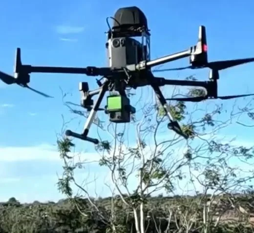
Heavy-lift inspection and survey platformOur workhorse for demanding sites. RTK positioning, up to 55 minutes of flight time and IP45 weather resistance let us fly longer, more precise missions while carrying professional camera payloads.
DJI Camera Payloads
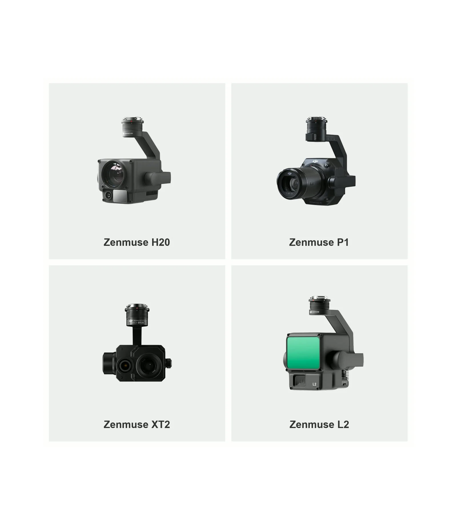
Zenmuse H20, P1, XT2 and L2The full-frame P1 with 35mm and 50mm lenses captures survey-grade imagery for photogrammetry and 3D models. The H20 zoom camera inspects fine detail from a safe distance, the XT2 thermal camera reveals heat-related faults, and the L2 LiDAR sensor captures accurate 3D point clouds.
DJI Mavic 3 Enterprise
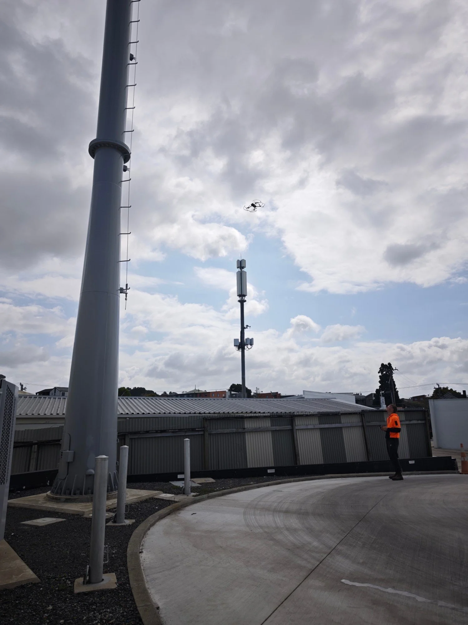
Compact rapid-deployment droneQuick to deploy on smaller sites, roofs and tight spaces. Its mechanical-shutter wide camera and zoom camera deliver sharp inspection imagery and mapping data without the setup of a larger aircraft.