
Architecture, Engineering & Construction
3D Laser Scanning & BIM Modelling for AEC in New Zealand
AEC industries are increasingly turning to 3D laser scanning, advanced modelling, LiDAR technology and aerial mapping to enhance design precision, streamline workflows, and improve project outcomes. These technologies provide highly accurate, detailed data that allow professionals to create realistic digital models of existing structures, topographies, and environments.
Challenges that AEC industries face
· Managing design changes and client expectations throughout a project
· Poor coordination and communication between stakeholders
· Ensuring accuracy of site data and existing conditions
· Meeting tight deadlines while maintaining quality and compliance
Get in touch with our team to discover how we can bring precision and insight to your next project, we’re approachable, experienced, and ready to help!
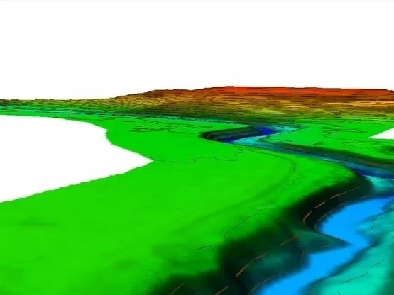
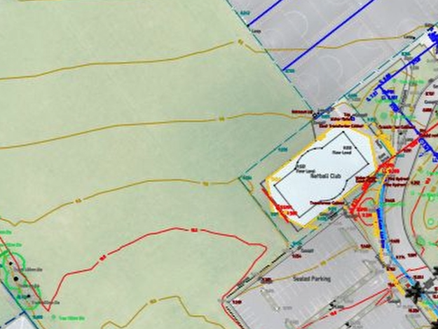
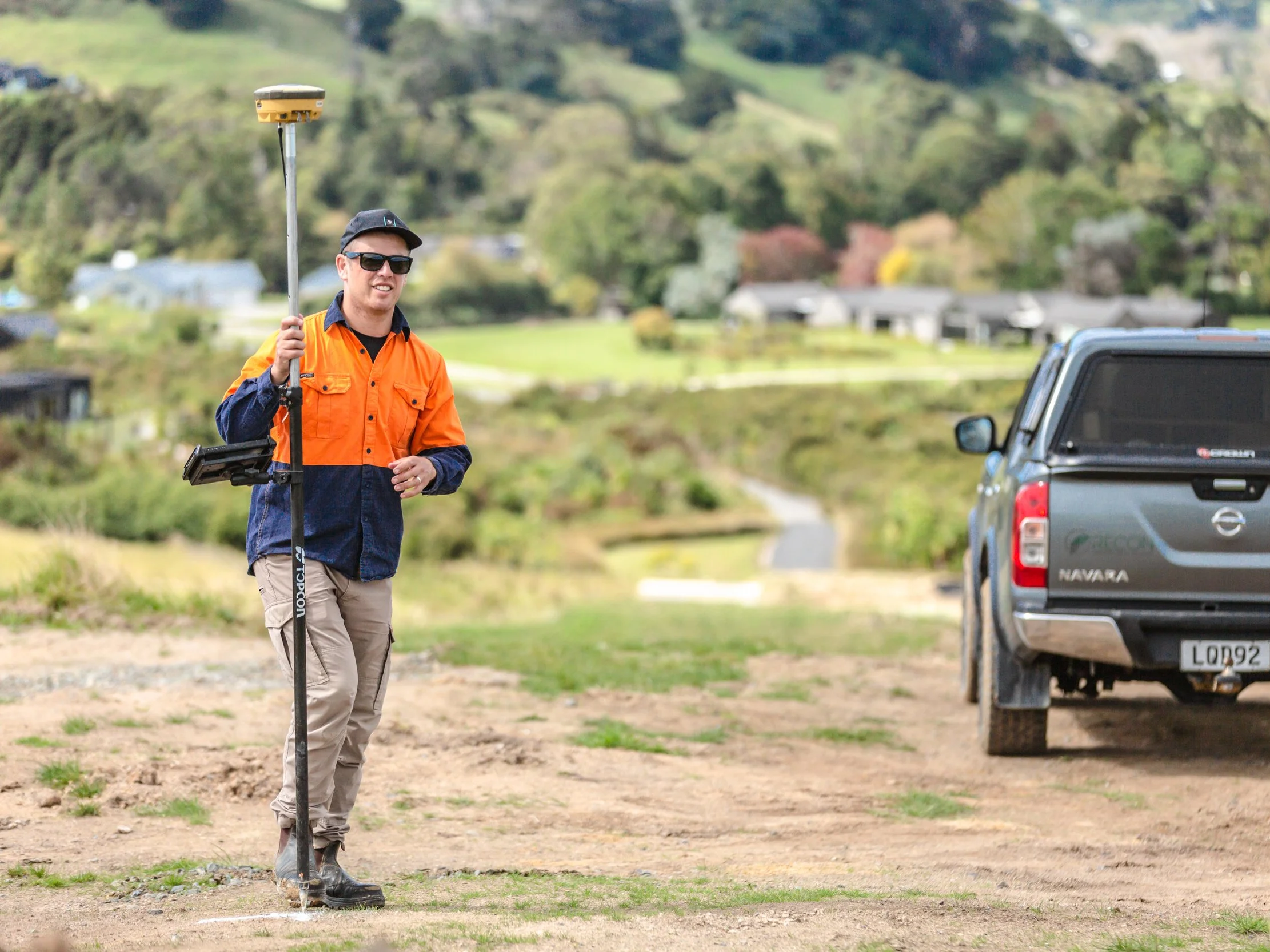
Land Surveying & 3D Scan Site Modelling
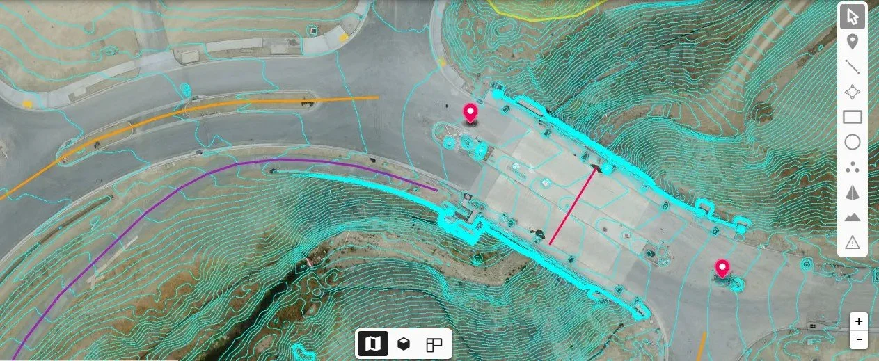
3D scanning provides highly accurate information about a site’s terrain, existing structures, surface conditions, vegetation, and utilities. Using laser scanners, Recon’s surveyors operate across New Zealand, to capture detailed measurements, which are processed into a precise 3D model of the site. The 3D scanning supports generation of topographic surveys, site plans, contour mapping, and volumetric calculations, giving architects, engineers, and builders a complete understanding of the site. The data can be imported into design software, enabling informed decisions on building placement, drainage, sunlight, and material volumes, while improving project accuracy and efficiency.
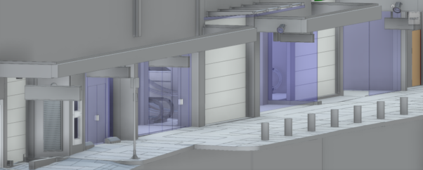
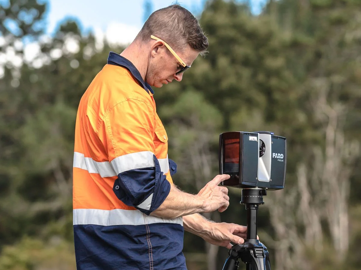
3D Building Scan & Revit Modelling for Renovations
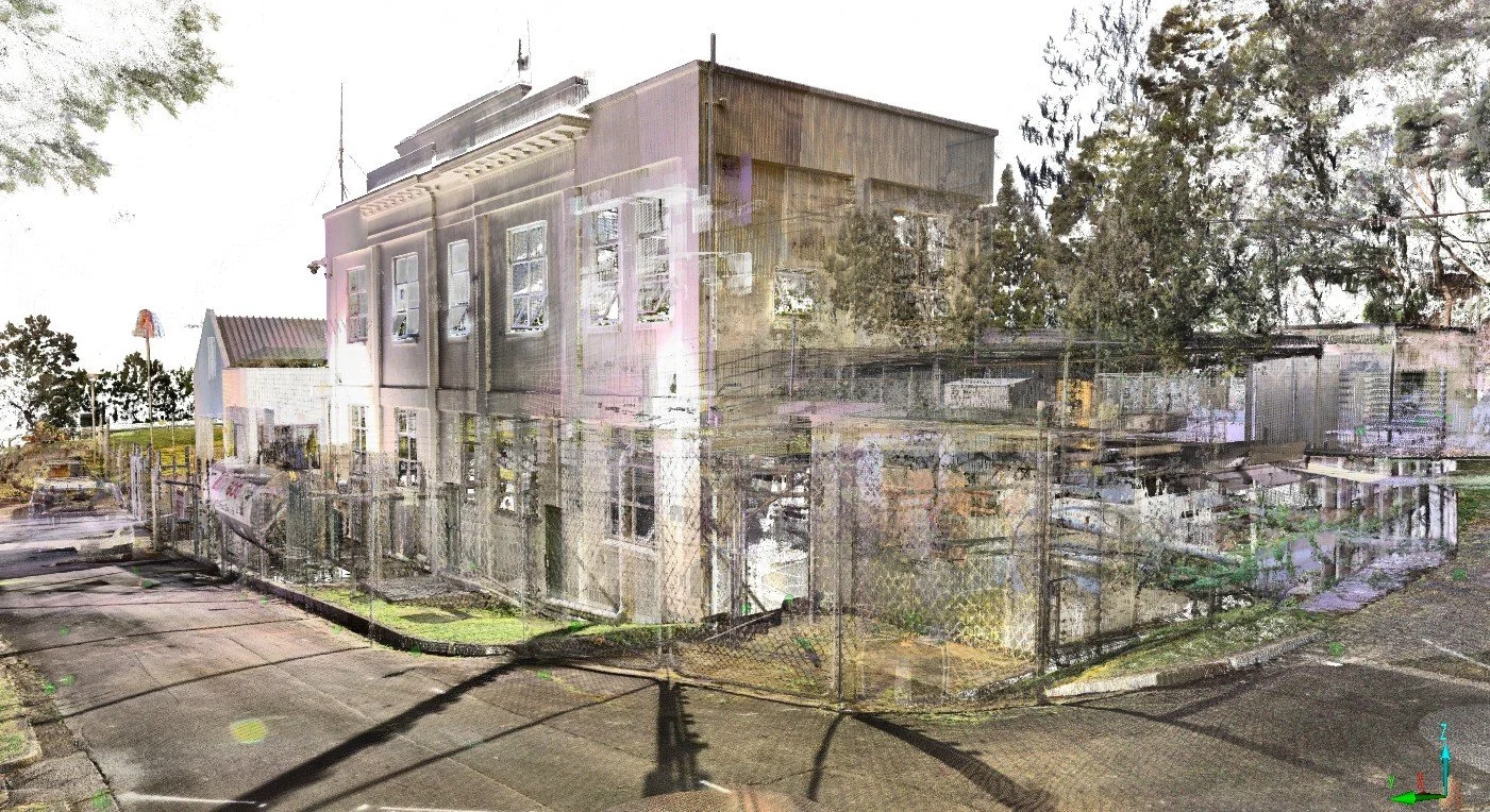
Using 3D laser scanning, LiDAR or photogrammetry across Auckland and throughout New Zealand, we capture precise building dimensions and intricate details to create highly accurate 3D digital models. The scan-to-BIM approach produces a complete picture of the building, including hard-to-access areas, which is invaluable for renovation and heritage projects, ensuring changes are planned with maximum accuracy.
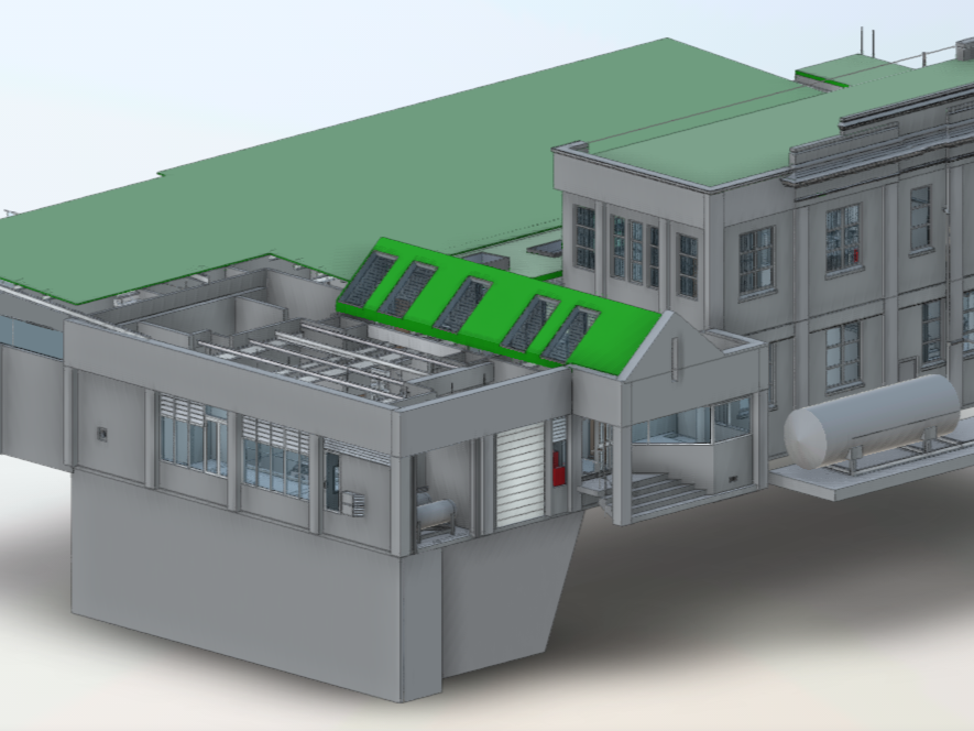
The detailed point cloud data can be imported directly into BIM software like Revit, or our team will generate detailed Revit or CAD models, providing a precise foundation for design and structural planning. Architects and engineers can test renovation scenarios, visualise alternatives, and identify potential issues before construction begins. By reducing reliance on manual measurements and minimising design errors, this workflow can cut project time by up to 30% and reduce unexpected costs.
This digital approach was recently used by The Stonewood Group who enlisted Recon to undertake laser scanning and Revit modelling of all the internal floors, rooftop and exterior of their redevelopment project at 280 Queen St, Auckland. The scanning was undertaken shortly after internal floor demolition and provided accurate dimensions for the building structure and key features such as entrances, windows, lifts and stairwells. For more information on this project please click here.
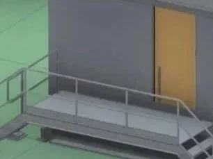
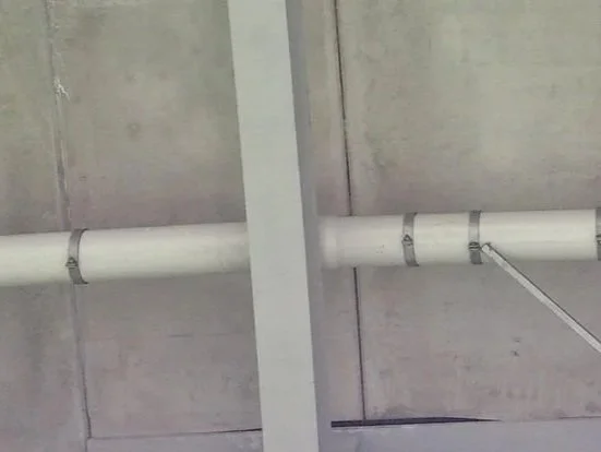
As-built Surveys for Engineers
As-built surveys provide a precise record of a building’s current condition, capturing all features, modifications, and structural details using 3D scan data supplemented by aerial LiDAR, for example to model the roof, or GNSS and total station survey to gather information about underground services. This data is essential for planning renovations, repairs, or upgrades, and supports compliance documentation and council submissions by ensuring all regulatory requirements are met.
Accurate as-built models can also be integrated with facility management systems, enabling ongoing asset monitoring, maintenance planning and future modifications. Updating the BIM or as-built model after project completion ensures engineers and facility managers have reliable information for safe, efficient, and cost-effective decision-making.
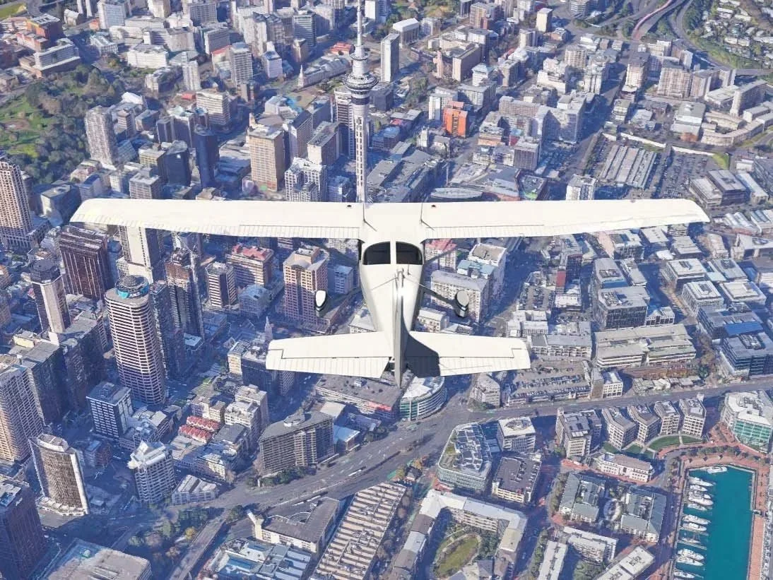
Aerial inspection & UAV Monitoring
Aerial inspections using UAVs (unmanned aerial vehicles) provide a safe, efficient method for assessing the subject building and surrounding properties. These surveys support safety compliance and allow early detection of changes or damage, such as cracks caused by dewatering or ground movement. UAV inspections are often a requirement for building consent and help protect both the project site and neighbouring structures while reducing the need for risky manual inspections.
A typical photo resolution for inspection projects is 0.5mm - 1mm pixel resolution, cracks and other defects are very visible and using TerraExplorer Photo Inspector tool reports can be generated directly from a high-resolution 3D model.
Our UAV pilots are NZ CAA Pt102-certified, so your project will be in safe hands!
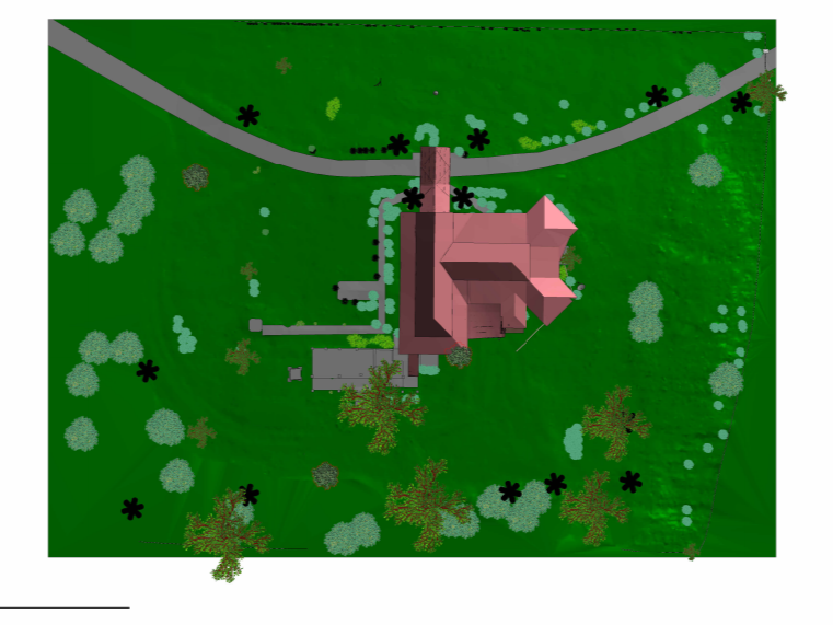
Judges Residence, Apia, Samoa
Project: Judges Residence, Apia, Samoa
Project Type: Heritage Conservation & Documentation
Scan Size: Full interior and exterior of the building; full site captured via UAV flight
Deliverables:
3D laser scan point cloud
Scene2Go interactive walkthrough
Site orthophoto from UAV
Photographic survey
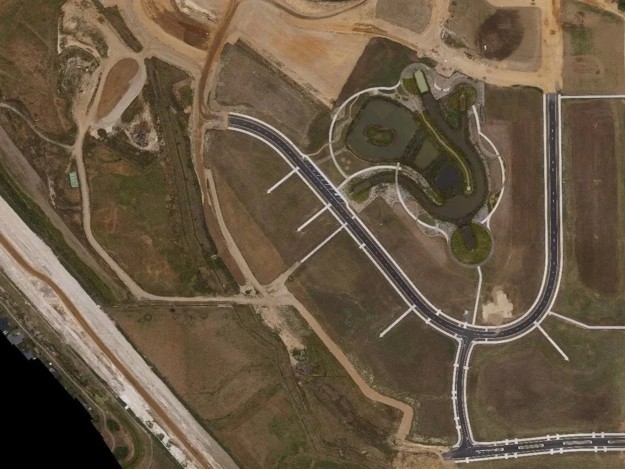
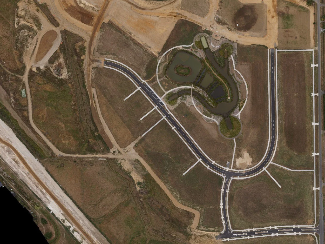
Aerial Mapping Construction NZ
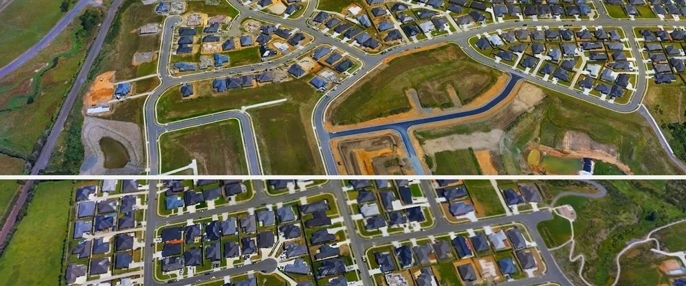
Aerial mapping during the construction process provides a clear, real-time view of the site and surrounding areas, helping teams track progress and check alignment with plans. Recon holds a Pt102 Unmanned Aircraft Operator Certificate and employs an experienced team of qualified UAV pilots that use drones to capture aerial mapping data. This allows construction managers to spot issues, monitor and record progress, and understand the site conditions. It also provides a medium for remote consultants or stakeholders to observe the build status at regular intervals. Site mapping can also improve coordination between contractors and subcontractors as the build progresses, predicting programme clashes before they happen.

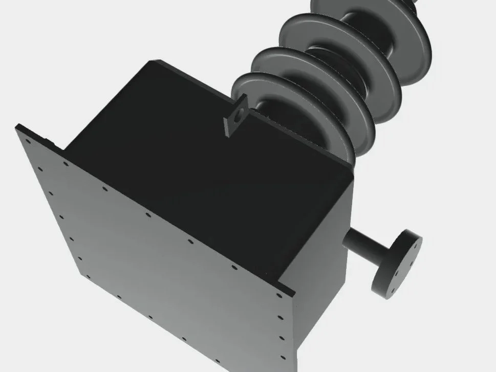
Reverse Engineering of Historical Buildings
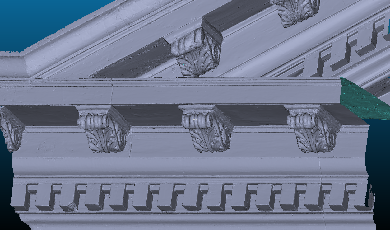
Reverse engineering enables professionals to study and analyse existing buildings to understand their design, materials and construction methods. By identifying what makes certain structures strong, efficient, or long-lasting, construction teams can apply those insights to modifications. By examining how a structure was originally built teams can accurately replicate old building parts that may have become damaged through time. The Recon team has extensive experience delivering Heritage conservation projects across Auckland, Waikato, Bay of Plenty, Northland and Wellington, as well as overseas.
Case Studies
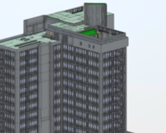
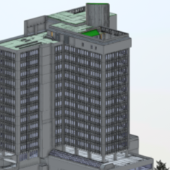
280 Queen Street Redevelopment – Auckland CBD
Project: 280 Queen St Redevelopment, Auckland
Project Type: Large-Scale Commercial Redevelopment (Mixed-Use: Hotel, Retail, Rooftop Dining)
Scan Size: All 15 internal floors, rooftop, and exterior of the 50-year-old office building; structural elements including beams, columns, walls, floors, windows, and doors
Deliverables:
High-accuracy 3D laser scan point clouds (1 mm precision)
Revit model of the entire building
360° walkthroughs of interior and exterior spaces
Why Choose Recon?
We are a highly experienced team led by Jeremy Neilson. Collectively our team has over 50 years of experience in the spatial industry. Based in Auckland, we deliver LiDAR scanning services NZ and spatial data services nationwide, supporting clients across all sectors including architecture, local government, energy and utilities, and the film and television sectors. Our portfolio spans commercial developments, asset management programs, infrastructure projects and heritage conservation (to name a few!).
Our team are Part 102 qualified UAV operators, and as an organisation we hold a SiteWise Gold Certificate for health and safety.
Services We Offer
Aerial Mapping
Drone Mapping
LiDAR
3D Scanning
3D Modelling
CAD
Reverse Engineering
Surveying
Inspection