
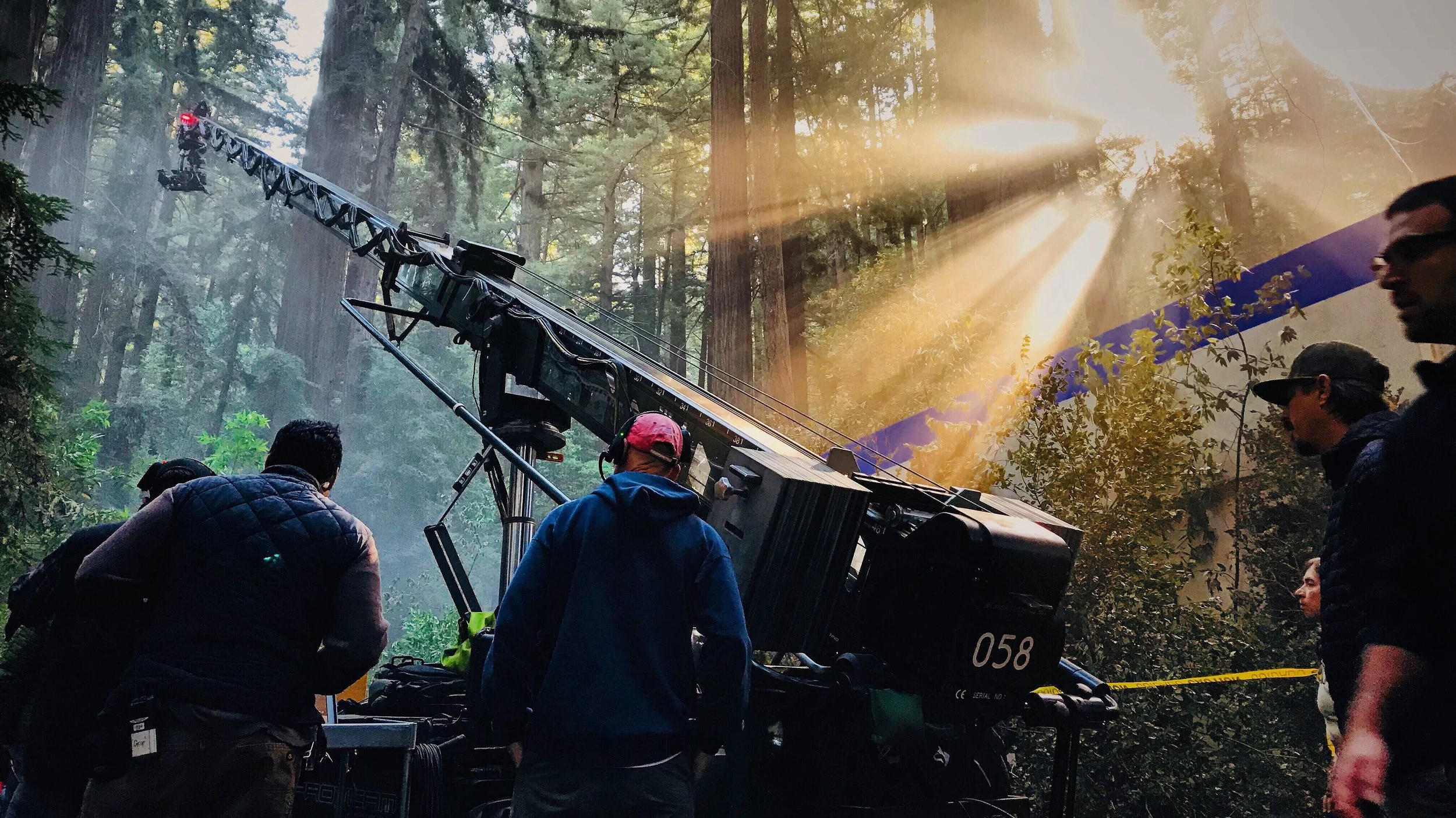
LiDAR, Drone Mapping and 3D Scanning for Film, TV and VFX
Accurate digital replicas of locations, sets and props for production design, VFX and virtual production.
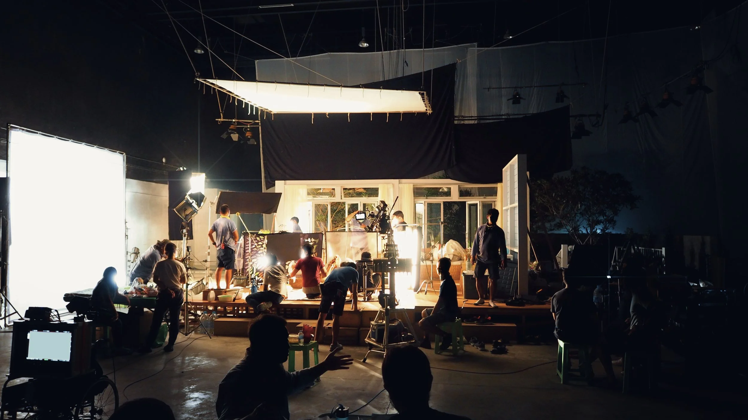
New Zealand's landscapes are a big part of why productions come here. Recon captures them in 3D. We scan locations with drone LiDAR and aerial photography, record sets and buildings with laser scanners, and digitise props and costumes, working to production schedules and treating every project as confidential.
Why Productions Work With Us
Schedule-driven, confidential and comfortable in rugged locations.
-
Happy to work under NDA; we never publish production work without permission.
-
We mobilise quickly and turn data around fast to keep departments moving.
-
Experienced capturing alpine, coastal and backcountry locations in tough conditions.
What We Capture
-
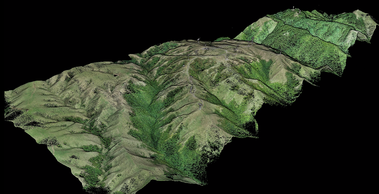
Locations
Terrain models, orthophotos, meshes and point clouds of locations for planning and VFX.
-
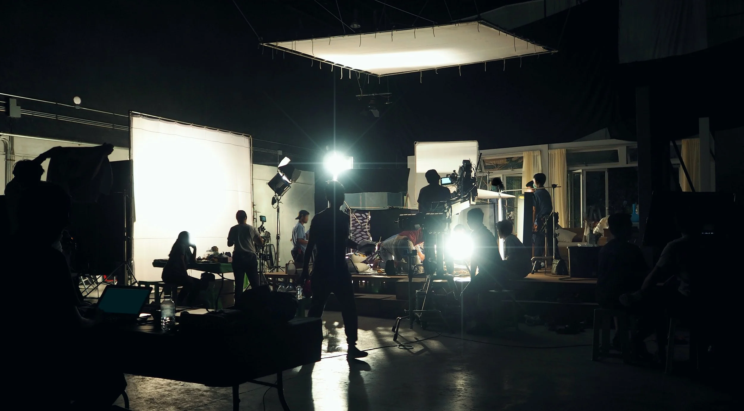
Sets & Environments
Exact records of sets and buildings so designers can build, extend and blend live action with CG.
-
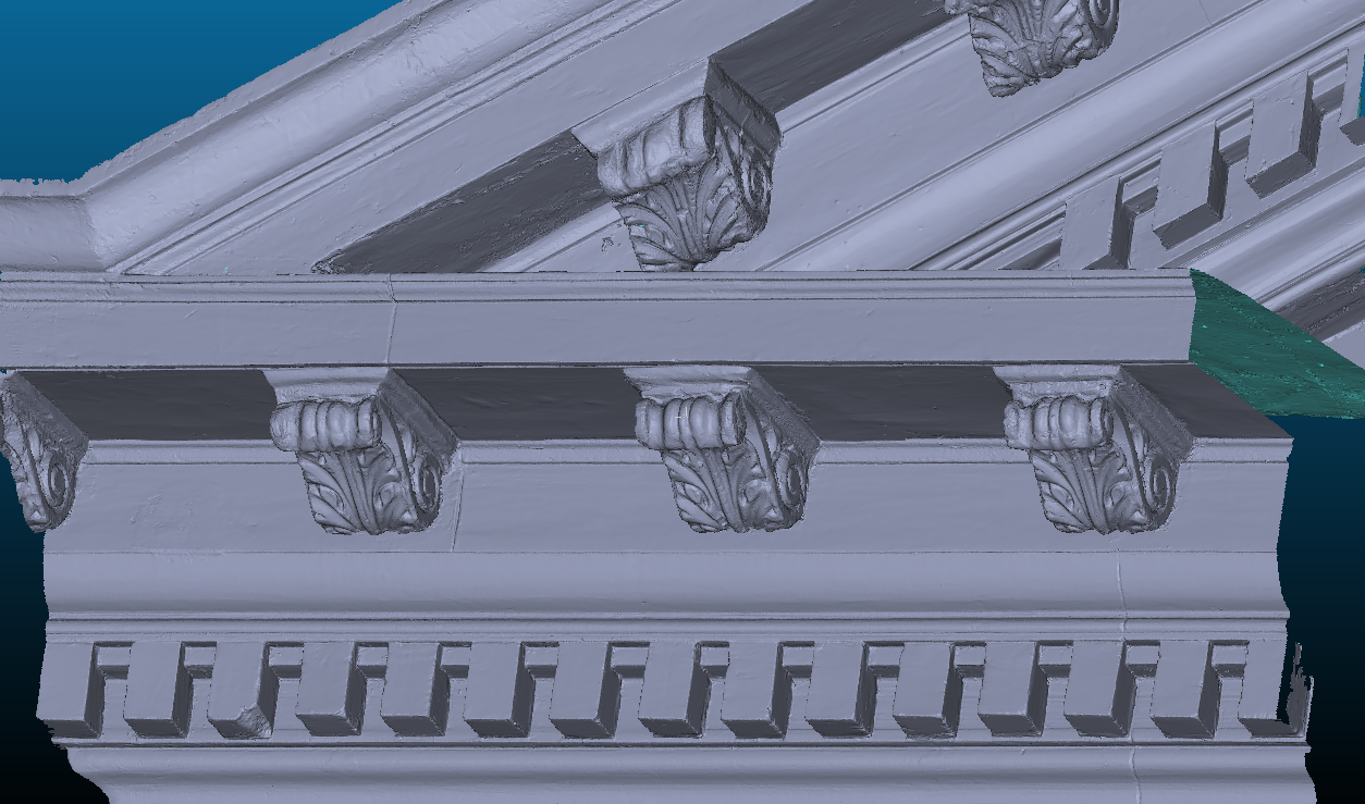
Props & Costumes
Digital replicas for duplicates, rebuilds and digital doubles.
Sets, Environments and VFX
For a VFX studio, Recon laser scanned the slalom slopes and bobsleigh course used in a global sports campaign spot shot around Queenstown, in cold, high-wind conditions.
The studio used our data in post-production alongside CG crowds, snow simulations and relighting.
How We Deliver
Tell us what you need captured, where and when; we scope it around your schedule.
Brief
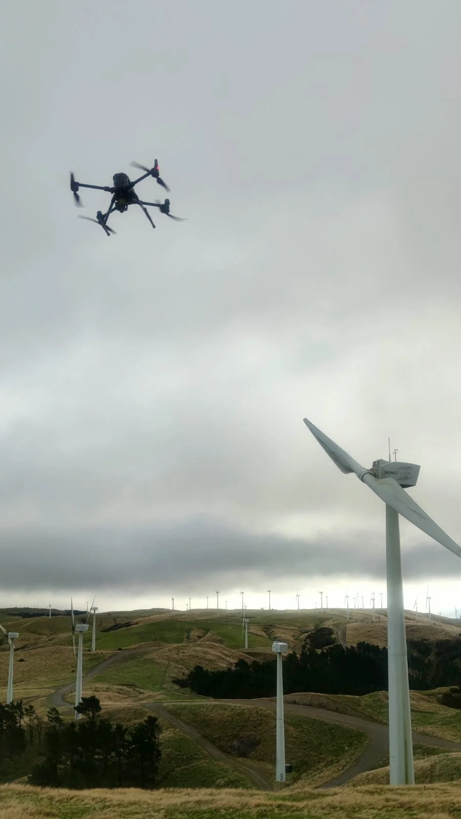
Drone LiDAR, aerial imagery, terrestrial and object scanning, on location or in the studio.
Capture
Point clouds, meshes, terrain models and orthophotos in your pipeline’s formats and scale.
Deliver
Certified, Safe and Fully Compliant
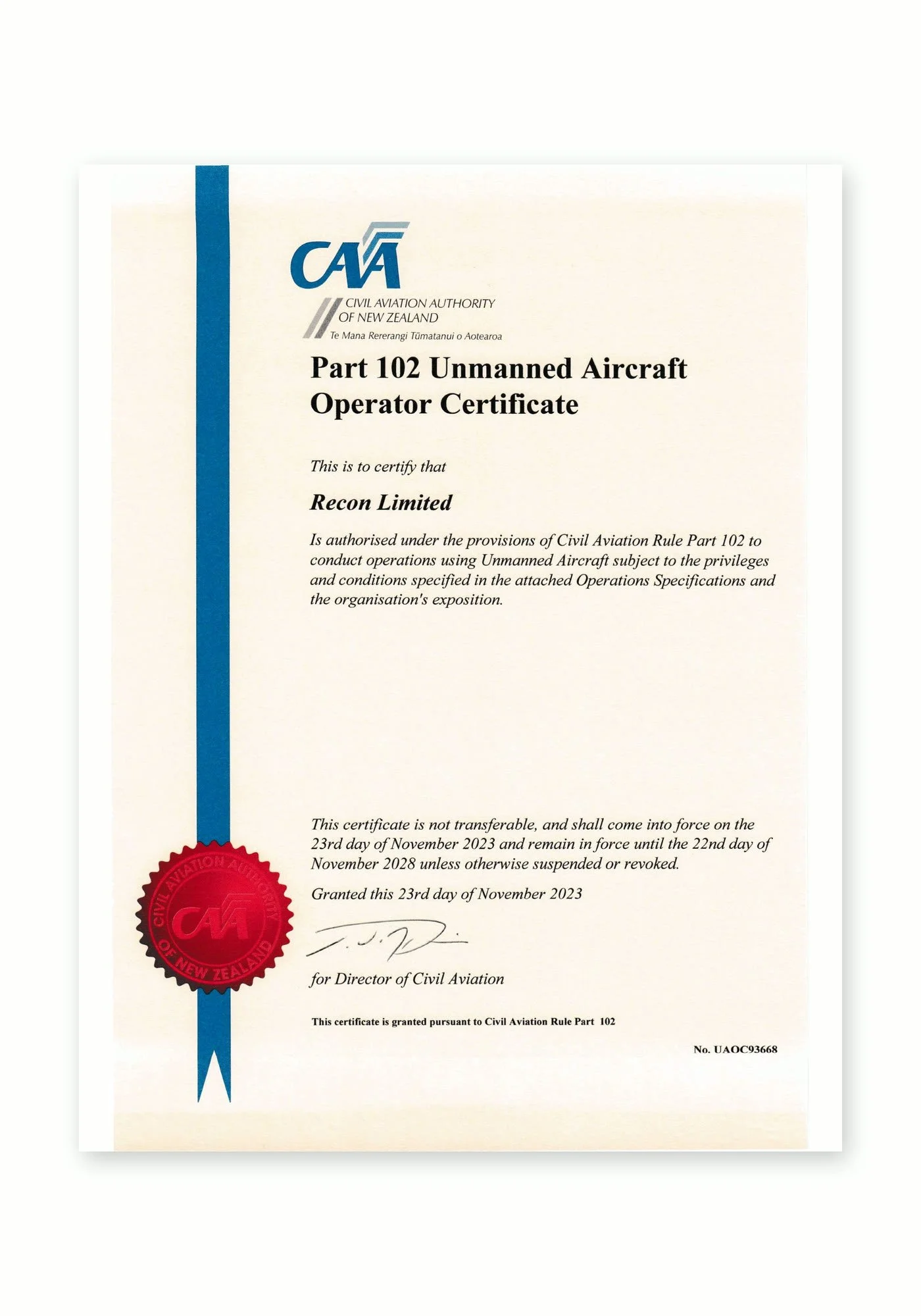
Recon is a CAA Part 102 certificated unmanned aircraft operator. Part 102 is the Civil Aviation Authority of New Zealand’s certification for commercial drone operators who need to work beyond the standard Part 101 rules, and it is only granted once the CAA has reviewed and approved how an operator identifies and manages every hazard and risk.
What Part 102 certification means for your project:
More places we can fly: our certificate allows us to be approved for work that standard Part 101 rules restrict, such as flying over people or property, near aerodromes or in controlled airspace, subject to the conditions of our certificate and the required permissions.
A CAA-approved exposition: every operation follows our approved procedures for pilot competency, aircraft maintenance, flight planning and emergency response.
Job-specific risk management: each inspection includes a site risk assessment, airspace checks and coordination with air traffic control, landowners and site managers where needed.
Ongoing CAA oversight: as a certificated operator we are subject to CAA audits, giving asset owners and principal contractors confidence that the work meets New Zealand aviation safety standards.
Alongside our Part 102 certification, Recon holds SiteWise Gold accreditation and is a Site Safe member, so our health and safety systems meet the expectations of New Zealand’s leading contractors and asset owners.
Film & TV FAQs
-
Yes. Much of our production work is confidential. We’re happy to sign NDAs and won’t publish or share project data without permission.
-
It depends on the size of the location and the deliverables. Unprocessed scans and imagery can be available within days, and we agree delivery dates with you to fit the production schedule.
-
Point clouds (E57, LAS, PTS), meshes (OBJ, FBX), terrain models and contours, orthophotos and CAD. We can match your pipeline’s coordinate system and scale.
-
Yes. We can scan on location, in a studio or in a workshop, and fit around the production’s schedule.
-
Yes. We regularly work in remote, steep and alpine terrain, and handle the flight planning and approvals needed.
Our Drone Fleet & Equipment
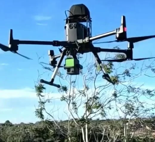
DJI Matrice 300 RTK
Heavy-lift inspection and survey platformOur workhorse for demanding sites. RTK positioning, up to 55 minutes of flight time and IP45 weather resistance let us fly longer, more precise missions while carrying professional camera payloads.
DJI Camera Payloads
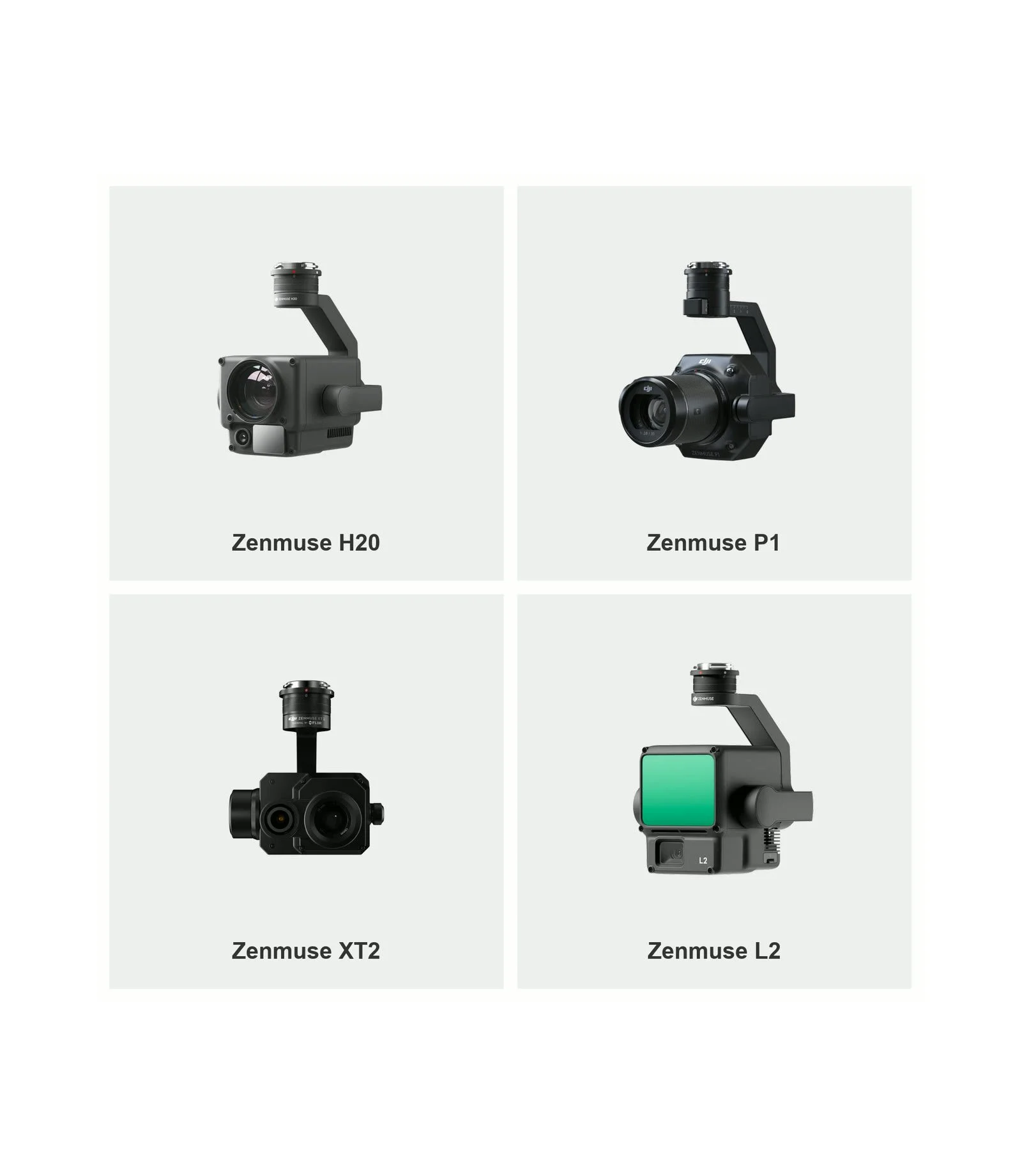
Zenmuse H20, P1, XT2 and L2The full-frame P1 with 35mm and 50mm lenses captures survey-grade imagery for photogrammetry and 3D models. The H20 zoom camera inspects fine detail from a safe distance, the XT2 thermal camera reveals heat-related faults, and the L2 LiDAR sensor captures accurate 3D point clouds.
DJI Mavic 3 Enterprise
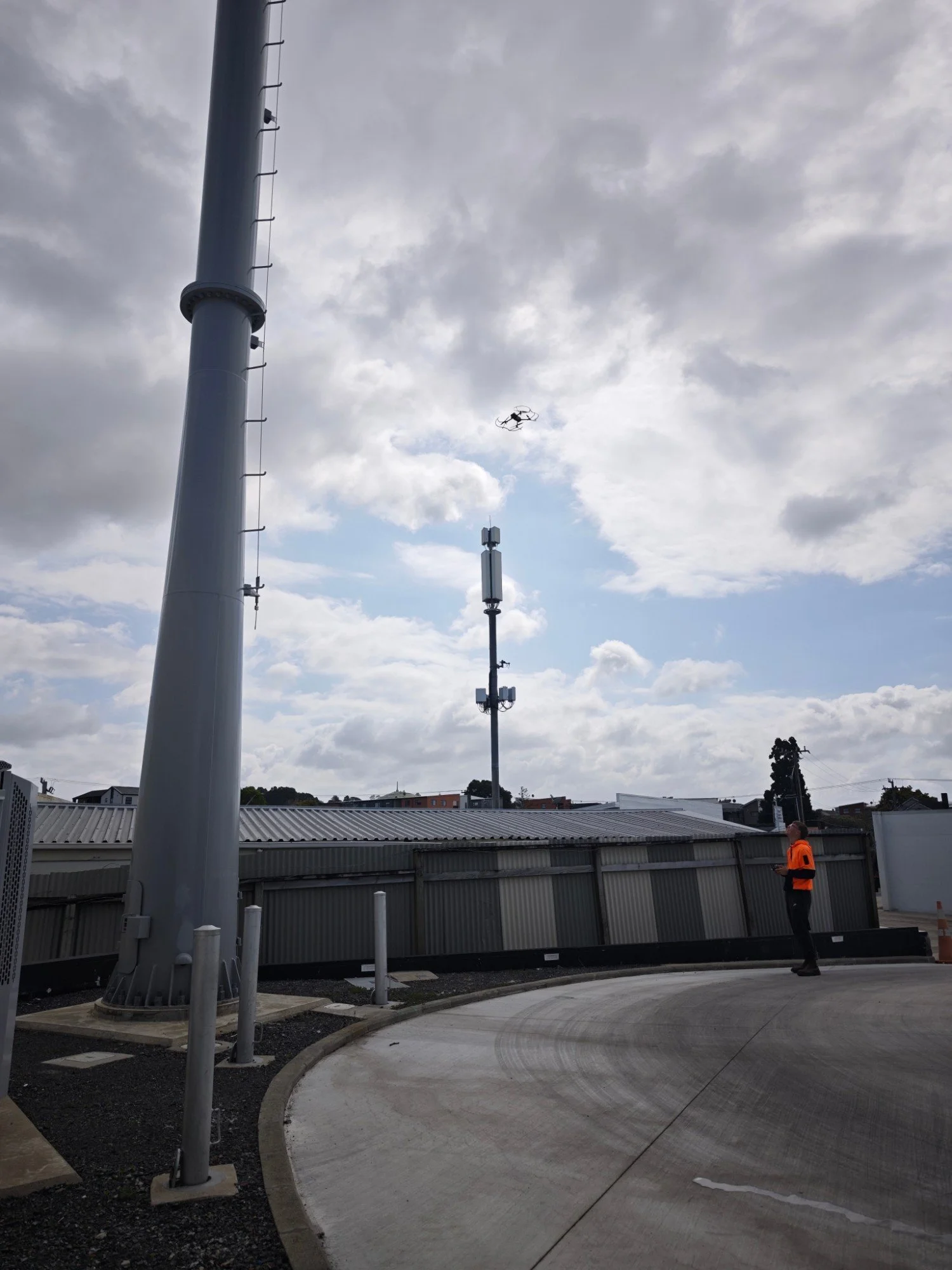
Compact rapid-deployment droneQuick to deploy on smaller sites, roofs and tight spaces. Its mechanical-shutter wide camera and zoom camera deliver sharp inspection imagery and mapping data without the setup of a larger aircraft.