
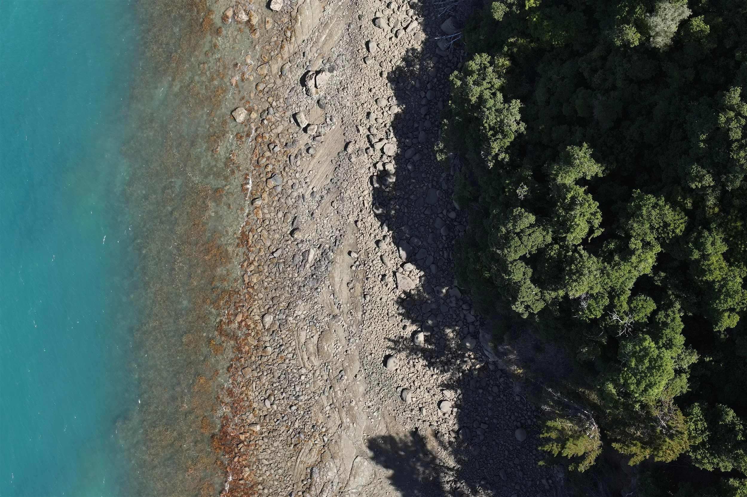
Industries We Serve
Drone LiDAR, 3D laser scanning and modelling for the organisations that design, build and look after New Zealand's assets.
Recon's core services are the same in every sector: drone LiDAR, aerial mapping, 3D laser scanning, and CAD and Revit modelling. What changes is the problem we're solving. Below are the industries we work in most, with the projects, deliverables and questions that matter to each.
-
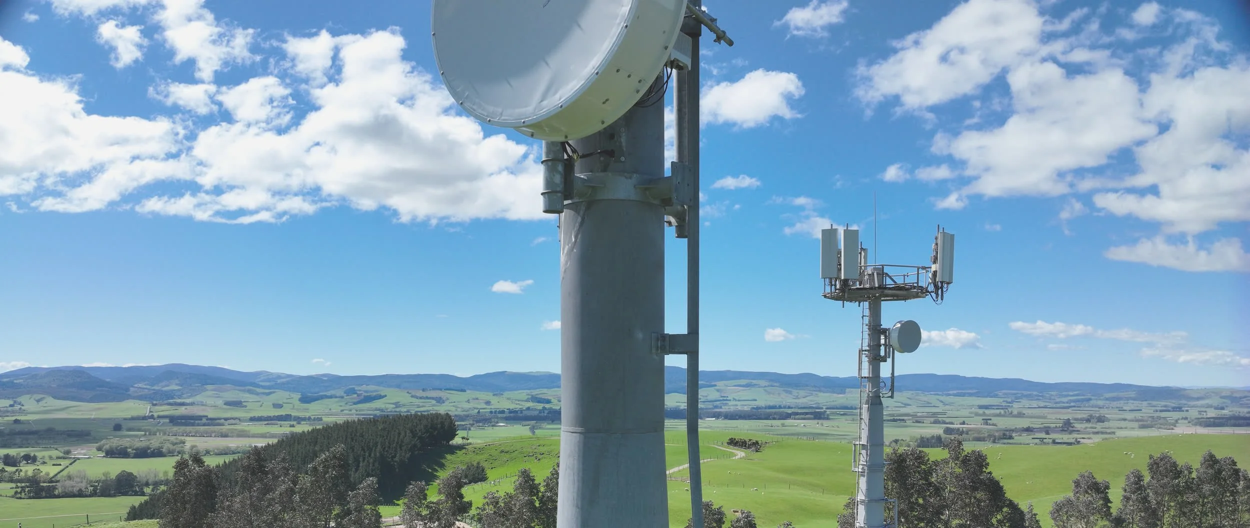
Energy & Utilities
Solar and wind farms, power lines, substations and telecommunications towers.
-
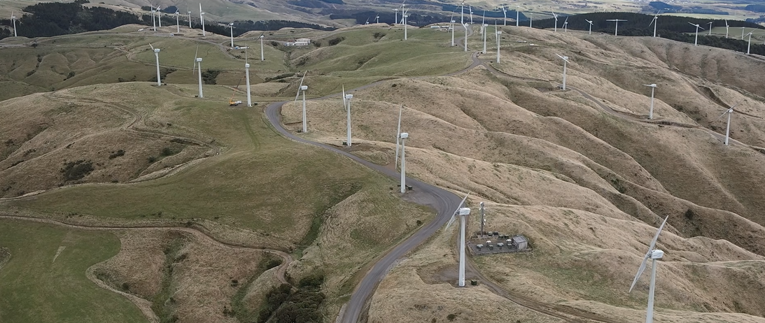
Solar & Wind Farm Surveys
Drone LiDAR and topographic surveys for renewable energy sites, from feasibility to as-built.
-
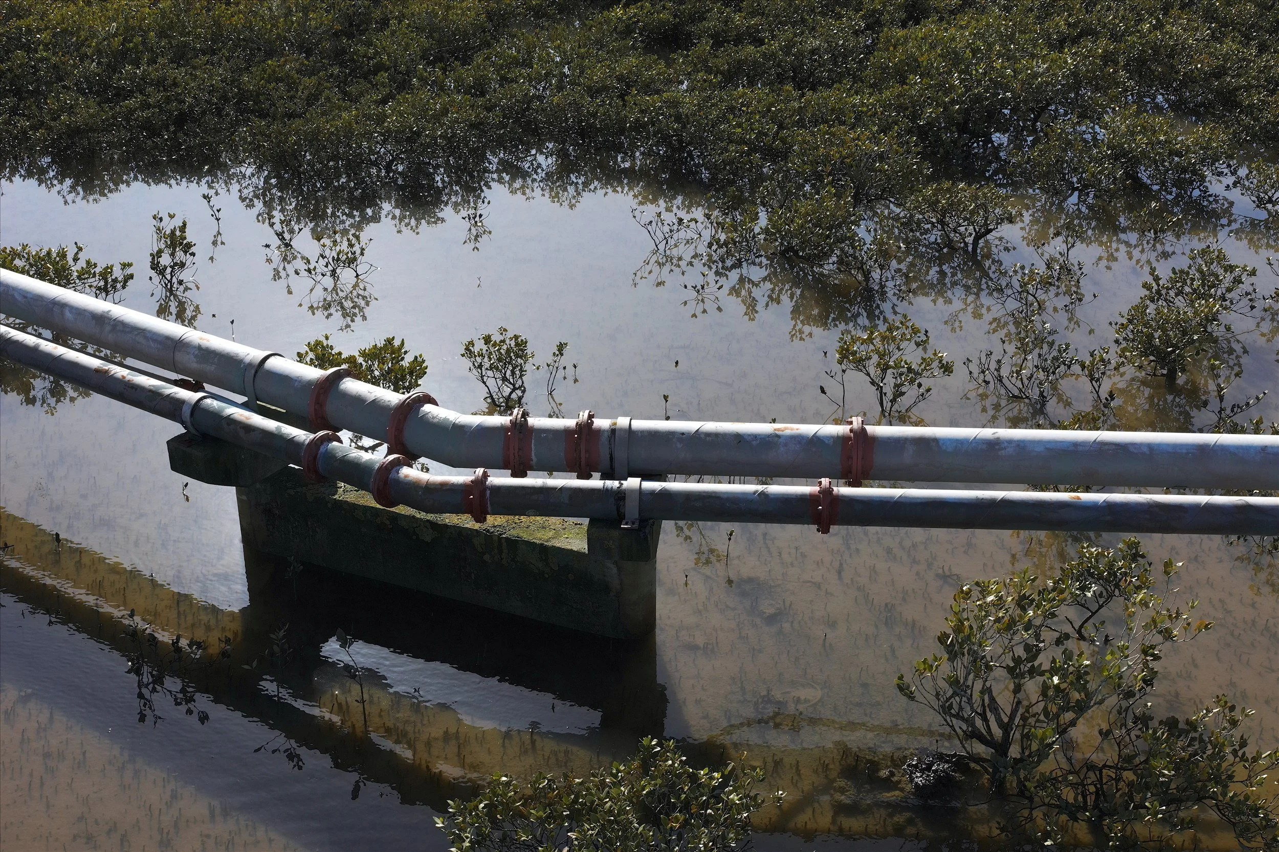
Water & Wastewater
Treatment plants, pump stations and network sites, scanned and modelled for upgrades.
-
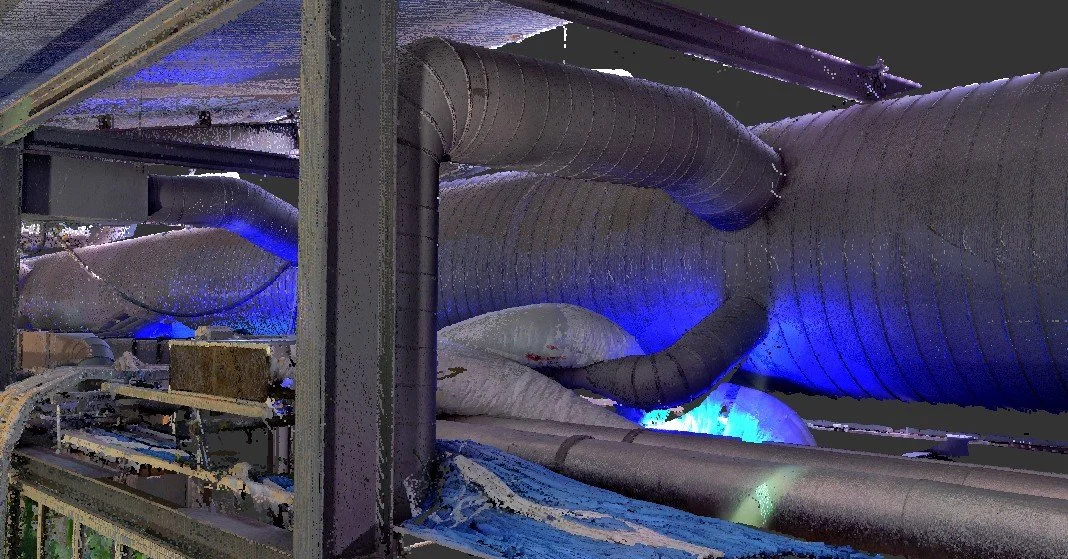
Architecture, Construction & Engineering
Scan-to-BIM, as-builts, site surveys and construction monitoring.
-
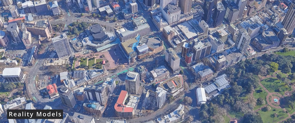
Local Government
Reality models, coastal monitoring, environmental surveys and council assets.
-
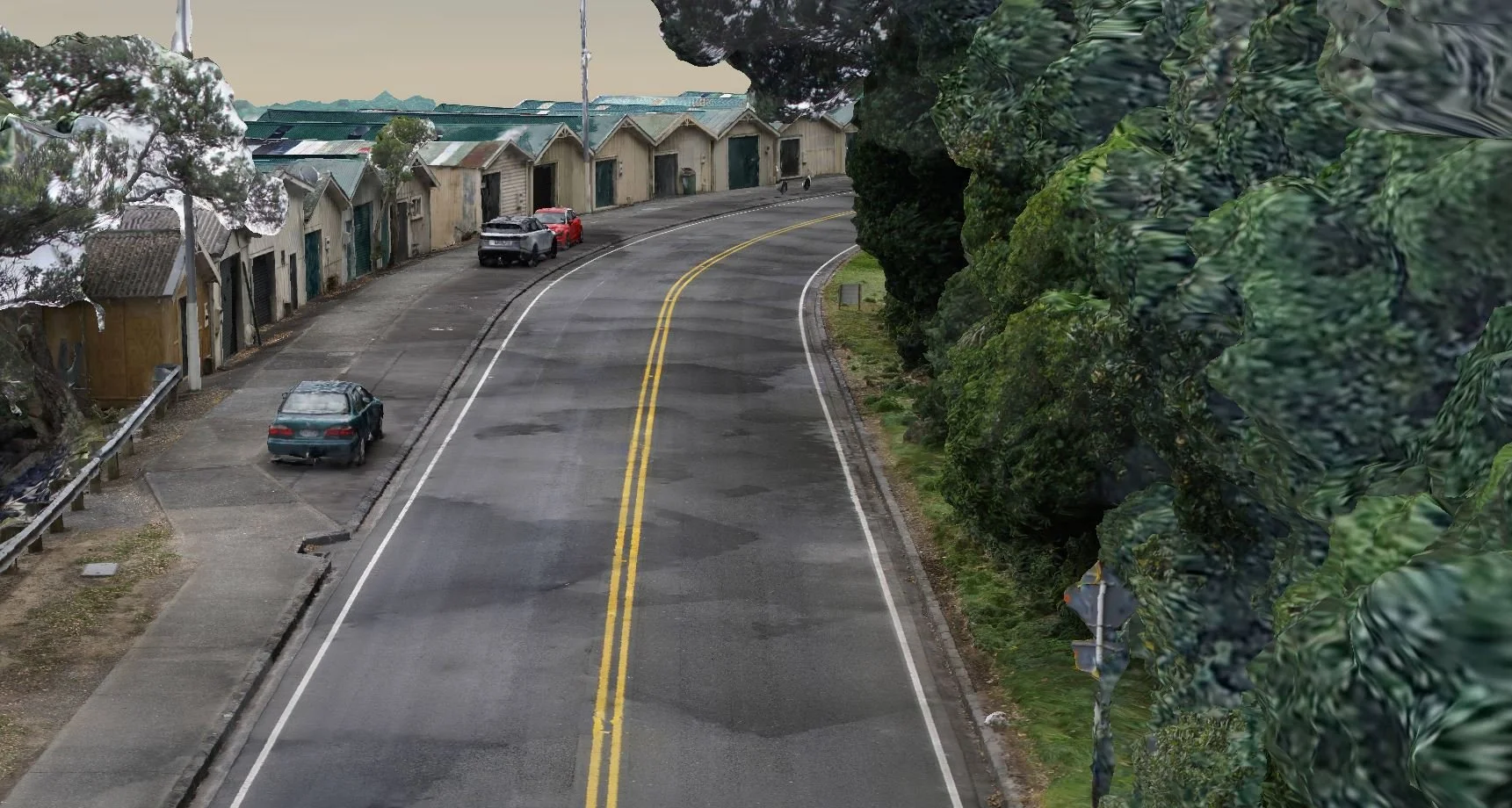
Transport & Infrastructure
Road and rail corridors, bridges, tunnels and natural hazard surveys.
-
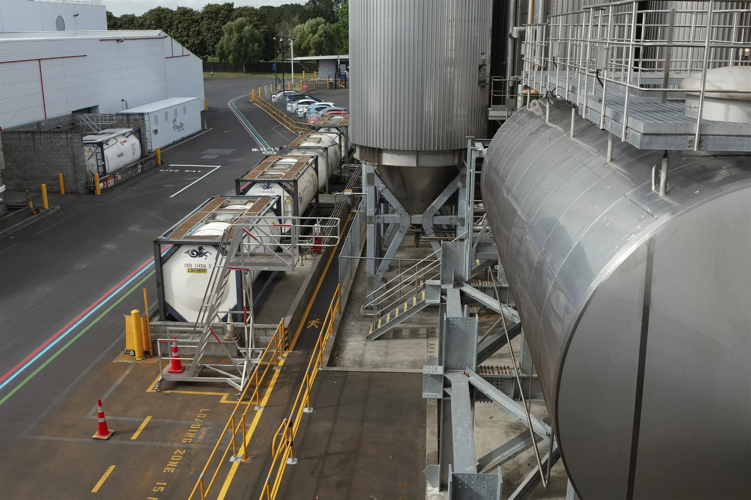
Industrial & Manufacturing
Plant and factory scanning, clash detection and reverse engineering.
-
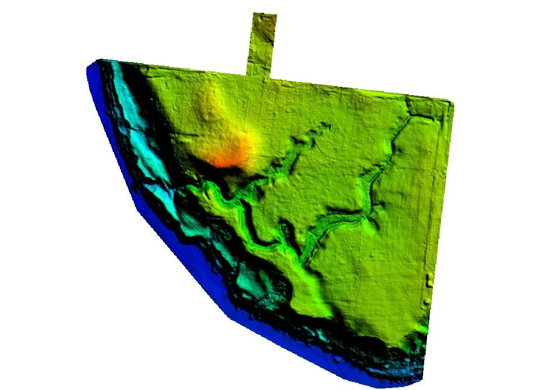
Land Development
LiDAR terrain models and aerial mapping for subdivision and earthworks design.
-
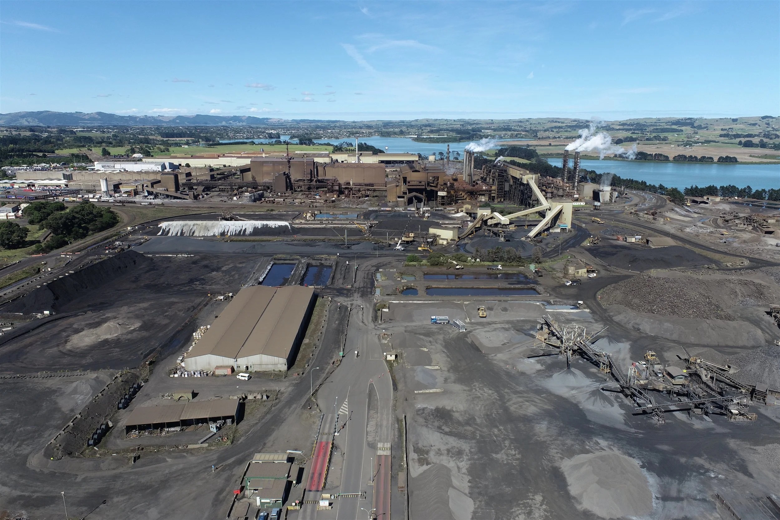
Mining & Quarrying
Drone stockpile volumes, pit and face surveys, and terrain models.
-
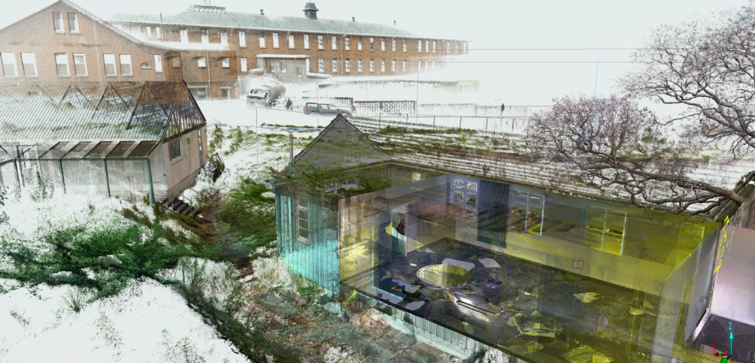
Heritage
Non-contact records for conservation, strengthening and virtual access.
-
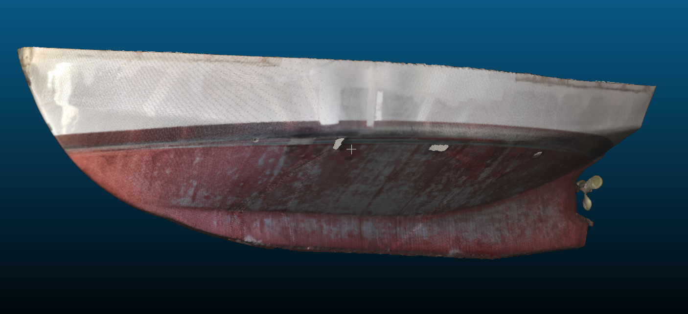
Marine
Hulls, yachts and components scanned and reverse engineered.
-
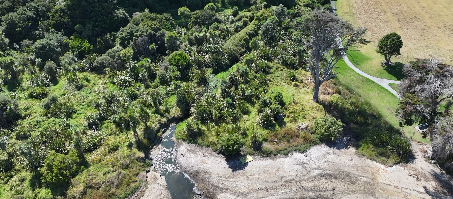
Agriculture, Forestry & Environment
Terrain under canopy, biomass, and coastal and waterway monitoring.
-
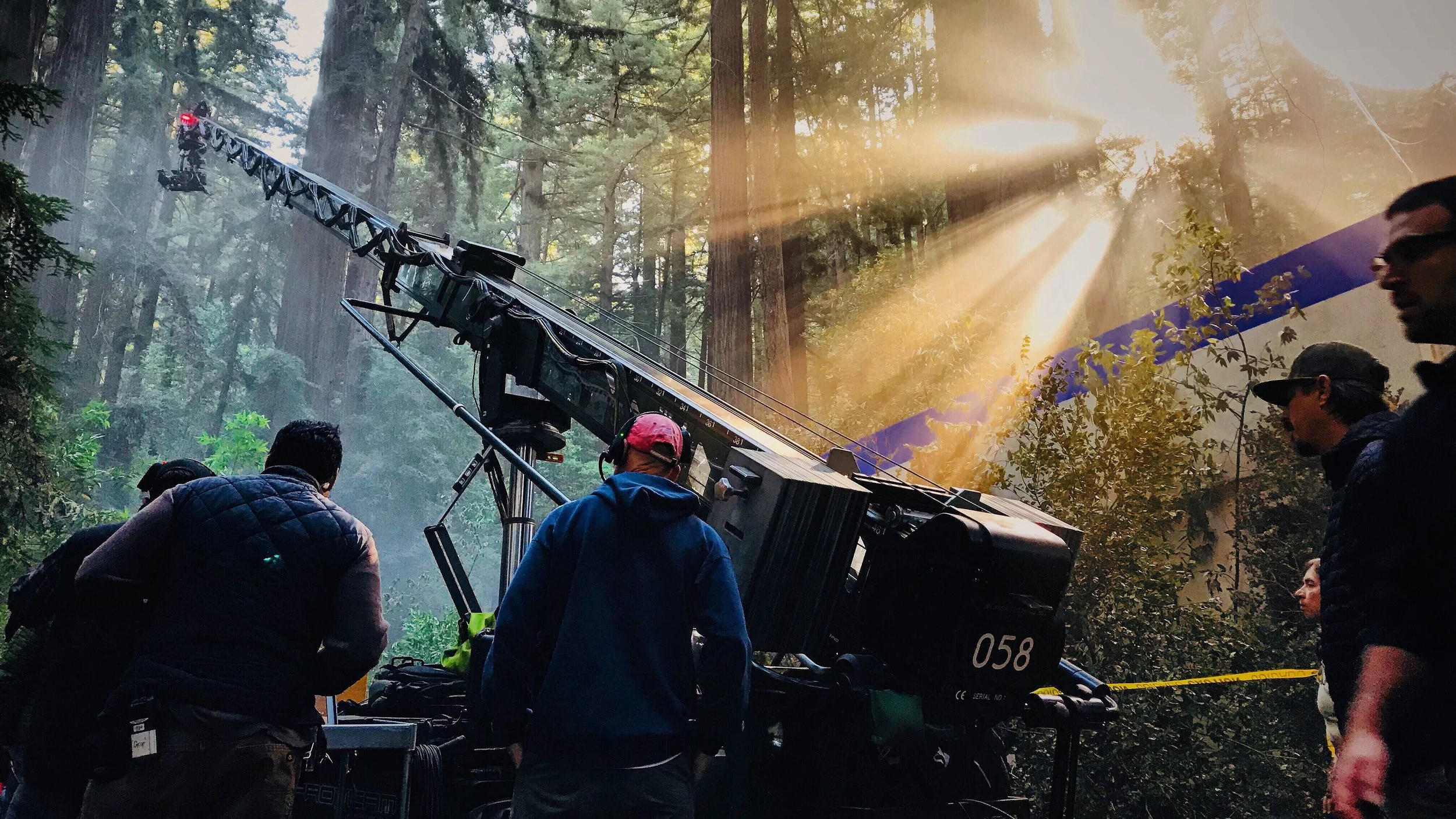
Film & TV
Locations, sets and props captured for production design and VFX.
Trusted by infrastructure owners, councils, engineering consultancies, architects and developers across New Zealand.
Not sure where your project fits?
Tell us what you need to measure and why. We'll recommend the right method and give you a clear scope and quote.
Call 0800 732 669 or email info@recon.nz