
3D Laser Scanning for Heritage Buildings, Sites and Taonga
Non-contact digital records for conservation, earthquake strengthening, restoration and virtual access.
Heritage buildings and sites are often poorly documented, fragile and hard to access. Recon's laser scanning captures their exact shape and condition without touching them, including every imperfection, slope and curve that hand measurement misses. We work with heritage agencies, universities, heritage architects and archaeologists, in New Zealand and the Pacific.
The Problems We Help Solve
An accurate archive for conservation, strengthening and engagement.
-
A complete measured record of the building as it stands today.
-
Data to analyse wall lean, floor slopes and deflection, and a baseline to monitor change.
-
Virtual tours and walk-throughs that reduce wear on the real thing.
What We Do
-
Buildings & Strengthening
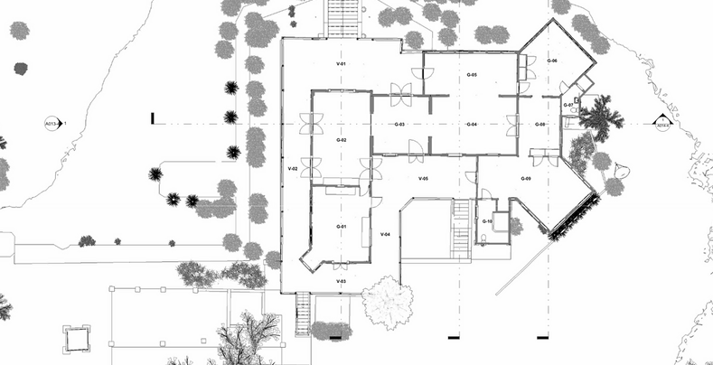
Plans, sections, Revit models and deformation analysis to support earthquake strengthening.
-
Marae & Taonga
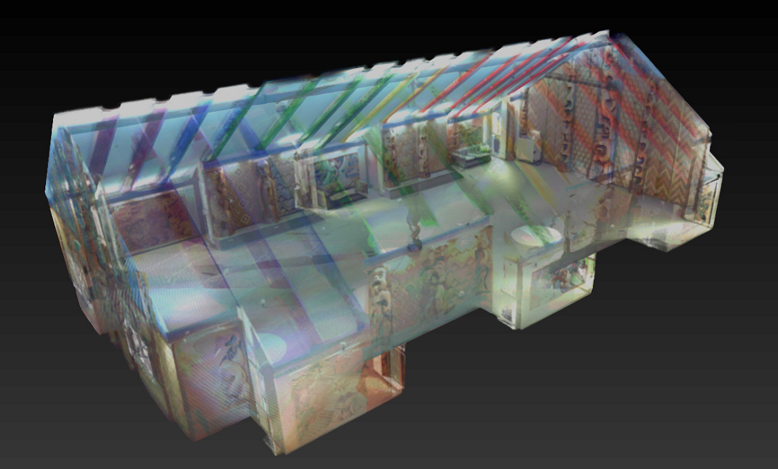
Detailed scans of carvings and panels for records, VR learning and interpretation.
-
Archaeology & Artefacts
Non-invasive colour models of wrecks, structures and objects for research and education.
Heritage Buildings and Earthquake Strengthening
With growing focus on earthquake strengthening, engineers need an exact picture of a building's geometry before designing interventions that protect its heritage values. Recon has worked with a heritage architecture practice on the scan programme of a heritage building, compiling accurate plans for its strengthening.
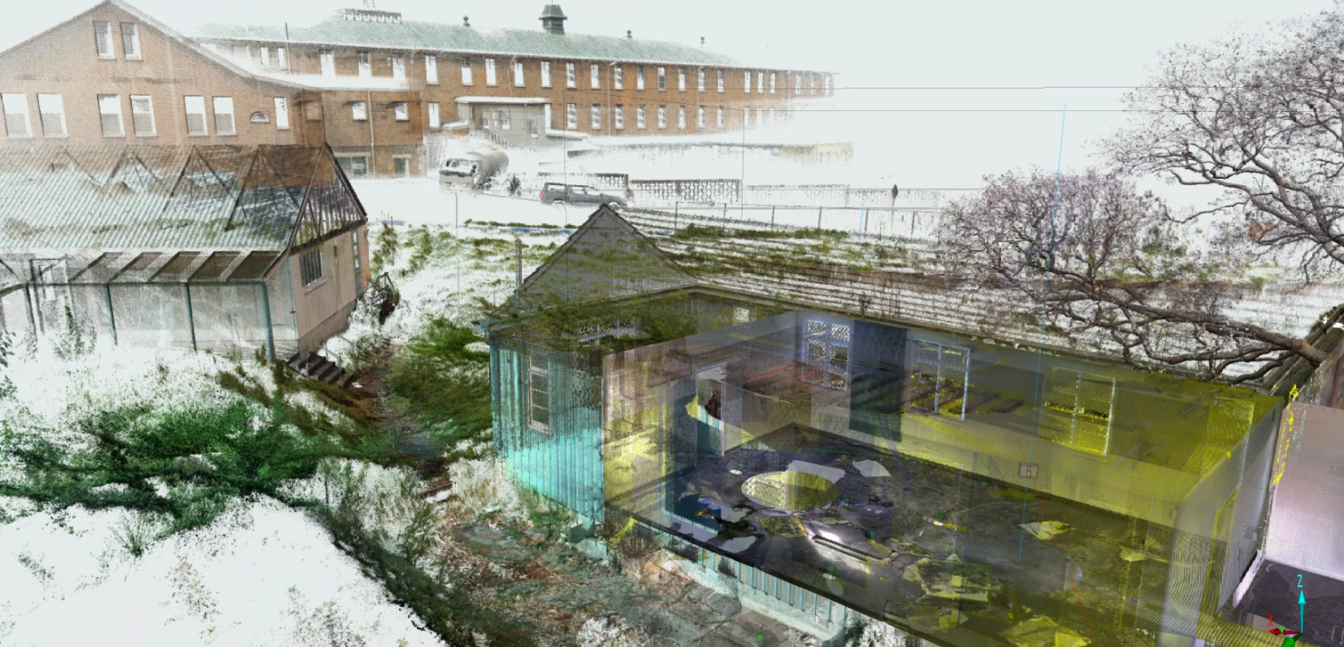
In Samoa, Recon scanned the interior, exterior and subfloor of a significant colonial-era residence and flew the site by drone. The scan confirmed theories about past alterations, and a Scene2Go walk-through now lets researchers explore the building remotely.
Projects Across New Zealand
A selection of heritage projects. Client names are withheld; we're happy to provide references.
Kaipara coast: colonial shipwreck (1865). Laser scan and 3D colour model.
Auckland: university marae. Interior scan of 45 carvings and panels for a VR learning tour.
Samoa: colonial-era heritage residence. Interior, exterior and subfloor scan, drone orthophoto, Scene2Go walk-through.
New Zealand: heritage building. Scan programme and plans for earthquake strengthening.
Waikato: heritage town hall. 3D scanning for conservation and upgrade design.
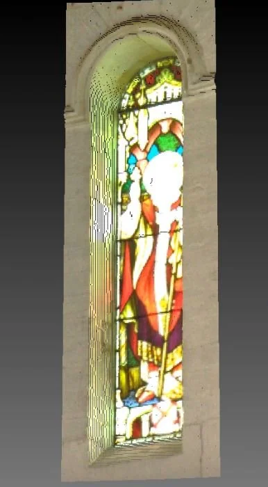
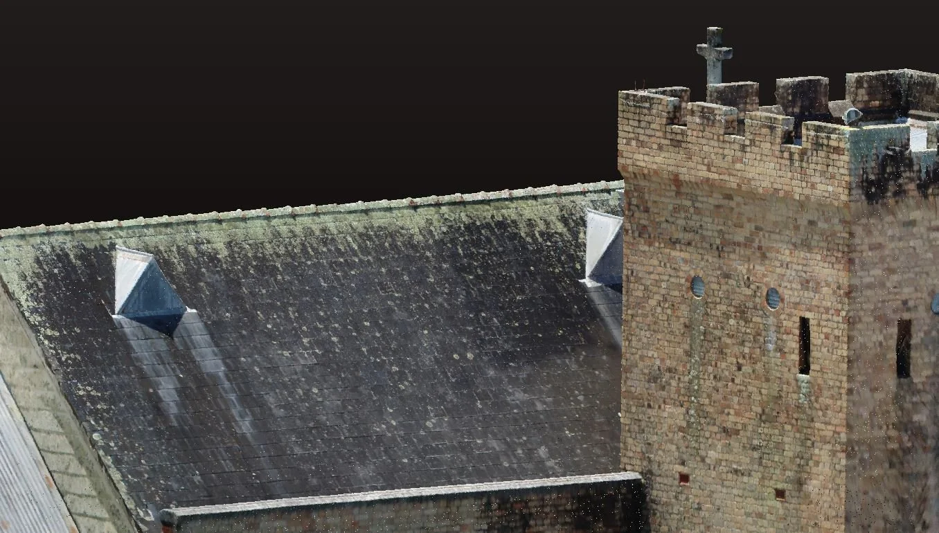
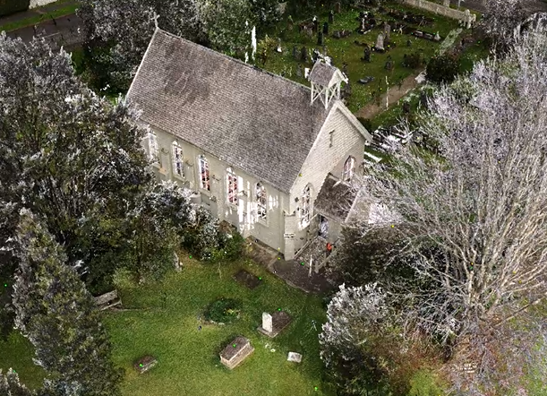
Northland: historic church. 3D scanning and heritage record.
How We Deliver
We agree what the record is for, the level of detail and any tikanga or site protocols.
Scope with you
Non-contact laser scanning, with drone capture of roofs and the wider site where needed.
Scan on site
Point clouds, plans and elevations, Revit models and a free Scene2Go walk-through.
Deliver
Certified, Safe and Fully Compliant
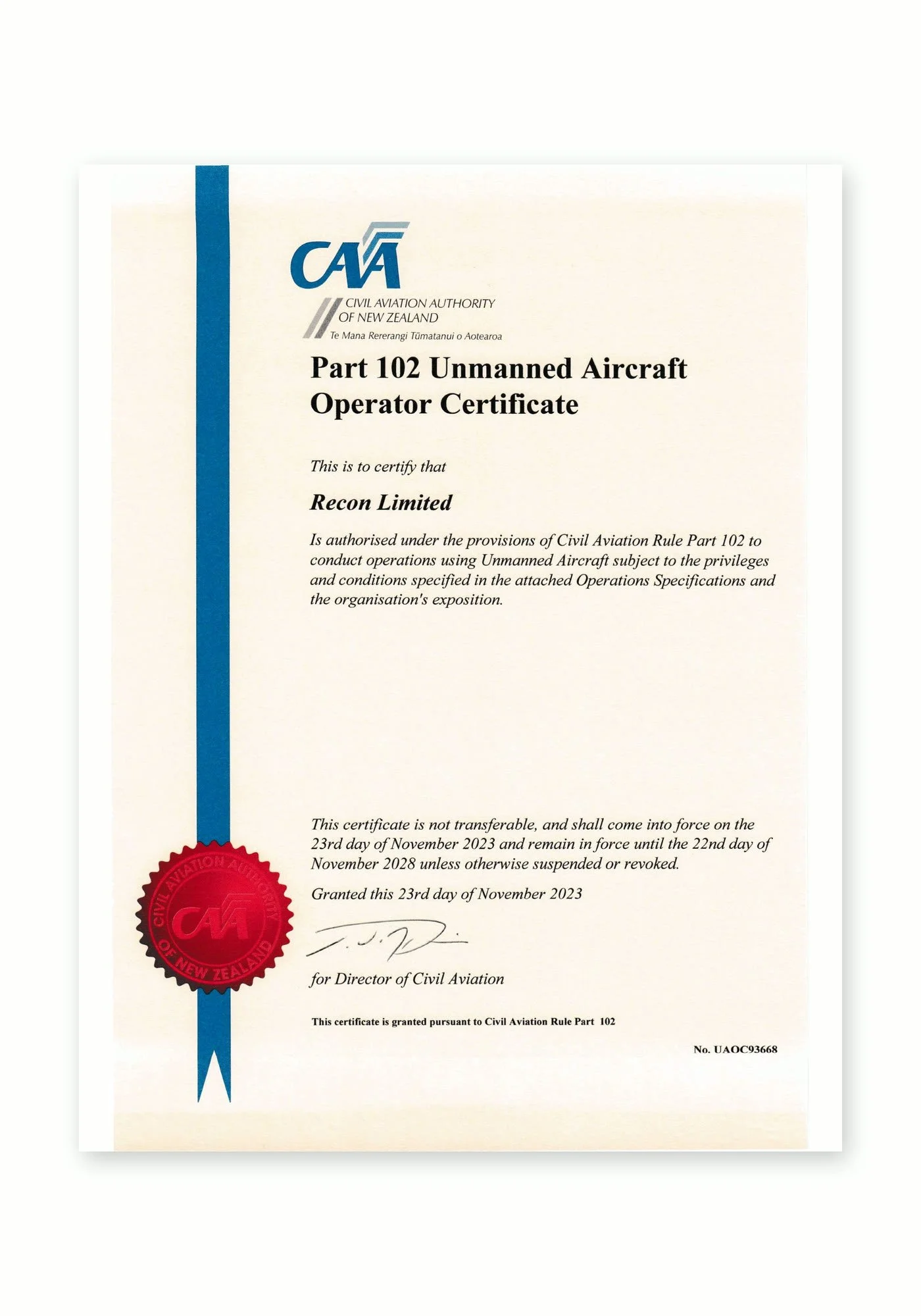
Recon is a CAA Part 102 certificated unmanned aircraft operator. Part 102 is the Civil Aviation Authority of New Zealand’s certification for commercial drone operators who need to work beyond the standard Part 101 rules, and it is only granted once the CAA has reviewed and approved how an operator identifies and manages every hazard and risk.
What Part 102 certification means for your project:
More places we can fly: our certificate allows us to be approved for work that standard Part 101 rules restrict, such as flying over people or property, near aerodromes or in controlled airspace, subject to the conditions of our certificate and the required permissions.
A CAA-approved exposition: every operation follows our approved procedures for pilot competency, aircraft maintenance, flight planning and emergency response.
Job-specific risk management: each inspection includes a site risk assessment, airspace checks and coordination with air traffic control, landowners and site managers where needed.
Ongoing CAA oversight: as a certificated operator we are subject to CAA audits, giving asset owners and principal contractors confidence that the work meets New Zealand aviation safety standards.
Alongside our Part 102 certification, Recon holds SiteWise Gold accreditation and is a Site Safe member, so our health and safety systems meet the expectations of New Zealand’s leading contractors and asset owners.
Heritage FAQs
-
Yes. Laser scanning is completely non-contact. The scanner sits on a tripod and measures with a low-power laser, so nothing touches the building fabric or the object.
-
Our scanners are accurate to better than 2 mm point to point, capturing carvings, mouldings, cracks and deformation. Colour imagery can be added to the point cloud for a true-to-life record.
-
Engineers and architects use the scan to produce accurate plans, sections and models of the existing structure. They can then analyse wall and floor geometry and design strengthening that protects heritage fabric.
-
Scene2Go is a free walk-through viewer for laser scan data. Anyone can explore and measure the scanned site without specialist software or a licence, which is ideal for remote stakeholders and for sites with limited access.
-
Yes. We’ve scanned heritage buildings in Samoa and can manage the travel, equipment and approvals for Pacific projects.