
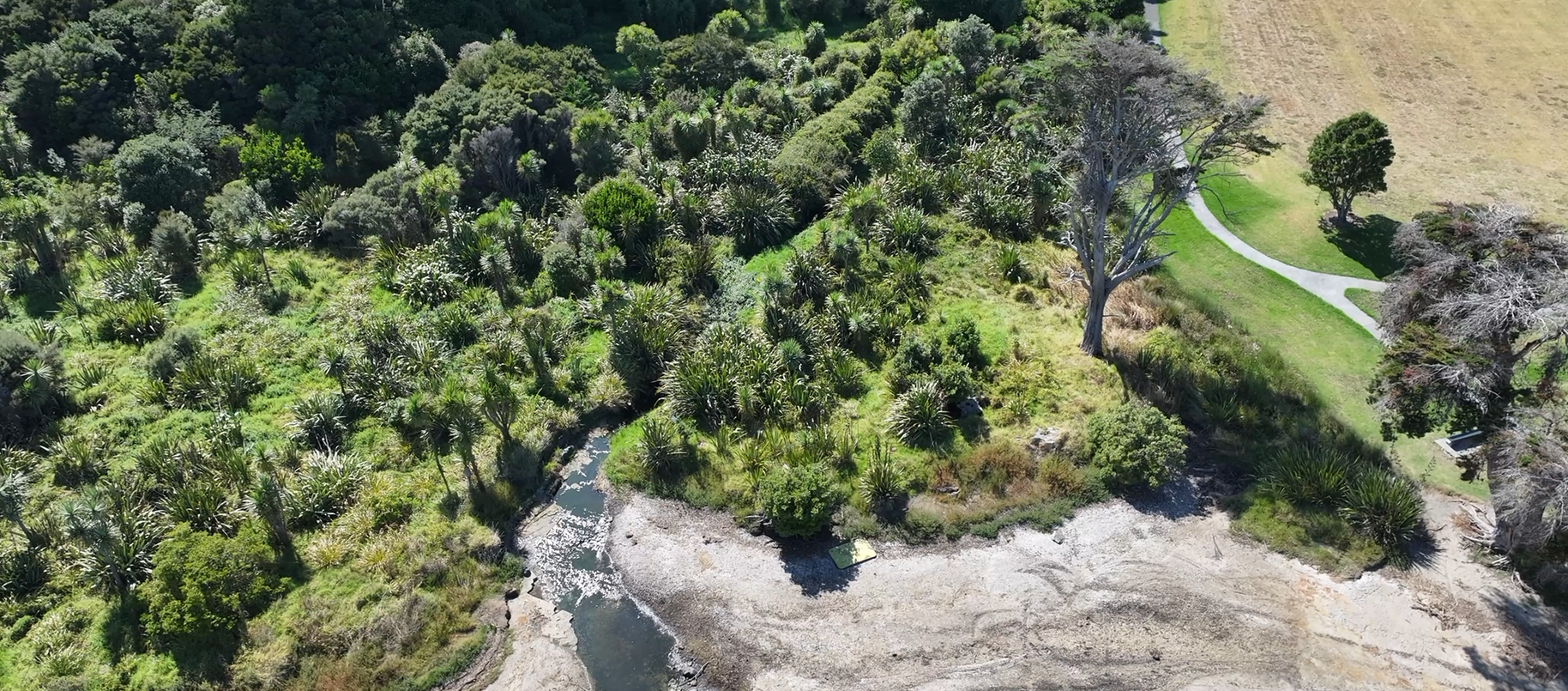
Drone LiDAR and Aerial Mapping for Forestry, Farming and the Environment
See the ground beneath the canopy, measure what's growing, and monitor change over time.
Forestry companies, farmers, councils and environmental consultants use Recon's drone LiDAR and aerial mapping to plan harvests and roads, measure vegetation, and monitor coasts, waterways and pest species. Drones capture large or remote areas quickly, and LiDAR sees through the canopy to the ground below.
How We Help
Low-impact data capture across large and remote areas.
-
LiDAR separates ground from vegetation for accurate terrain models under forest.
-
Permanent control and consistent methods, so change between surveys is real.
-
Quieter and less intrusive than manned aircraft, with no ground disturbance.
What We Do
-
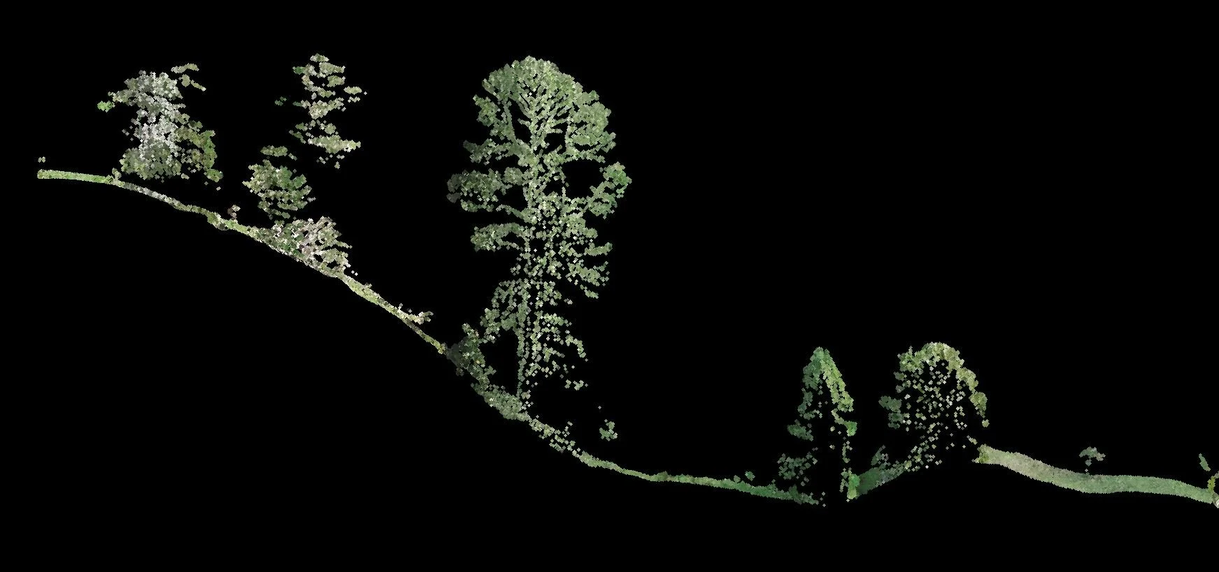
Forestry
Terrain under canopy for harvest roads and landings, plus tree heights and biomass.
-
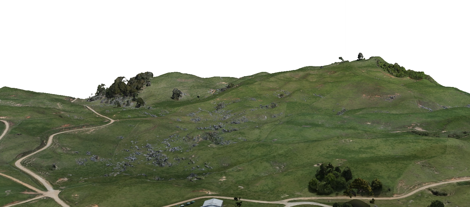
Farms & Rural Land
Accurate maps for farm plans, drainage, tracks, water management and compliance.
-
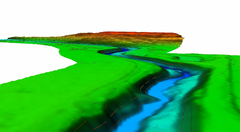
Environmental Monitoring
Coasts, rivers, wetlands, dunes and pest species, monitored with repeat surveys.
Environmental, Coastal and Waterway Monitoring
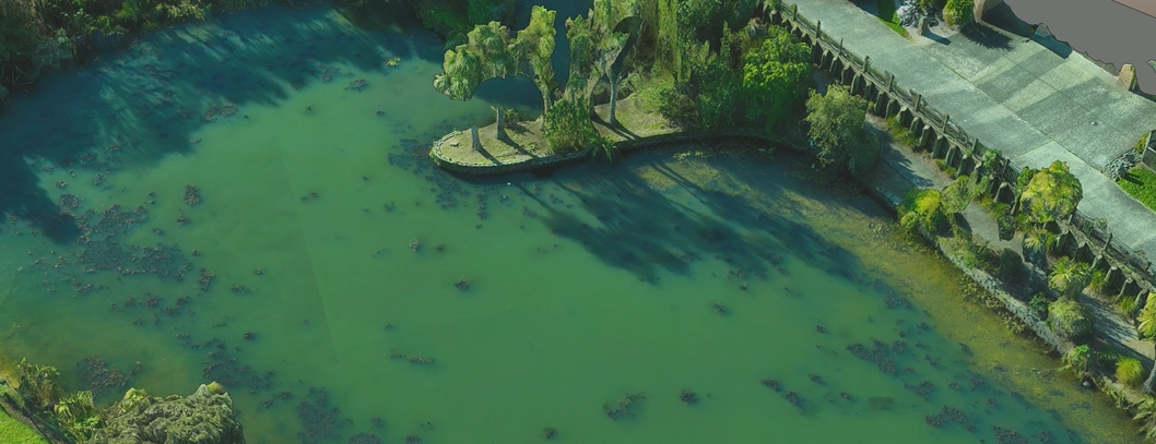
For a council and government biosecurity team, Recon flew a drone with a special camera filter over West Auckland stormwater ponds after each herbicide trial. The imagery mapped cover of an invasive aquatic weed that's hard to see from the bank, and gave an objective measure of each treatment.
For a Bay of Plenty district council, biannual drone surveys of a 2 km beach over four years tracked sand movement and seawall conditions.
Projects Across New Zealand
Recent work. Client names are withheld; we're happy to provide references.
Auckland: council stormwater ponds. Repeat filtered drone imagery to monitor invasive weed treatments.
Bay of Plenty: district council, beach and seawall monitoring. Biannual drone surveys over four years.
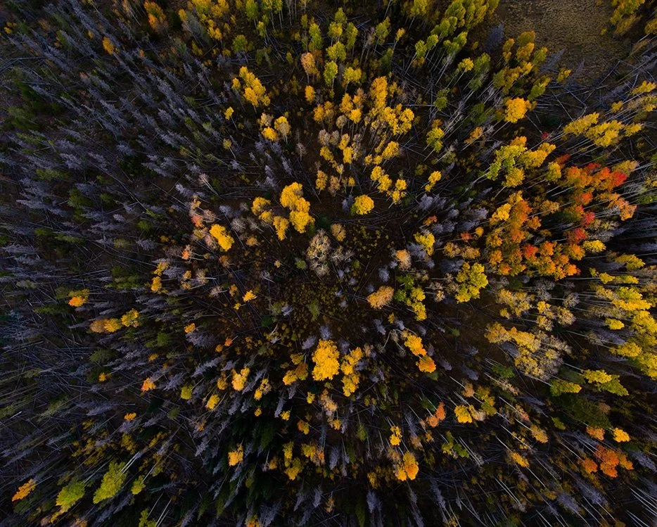
Southland: transmission line access way, Fiordland National Park. Drone LiDAR of three remote sites on conservation land.
Northland: university research, coastal sand spit. Drone LiDAR to map dune and spit change.
How We Deliver
We agree the area, what you need to measure and how often.
Scope
Drone LiDAR and imagery on permanent control; landowners notified under our Part 102 certificate.
Capture
Terrain and surface models, canopy metrics, orthophotos and change comparisons, ready for GIS.
Deliver
Certified, Safe and Fully Compliant
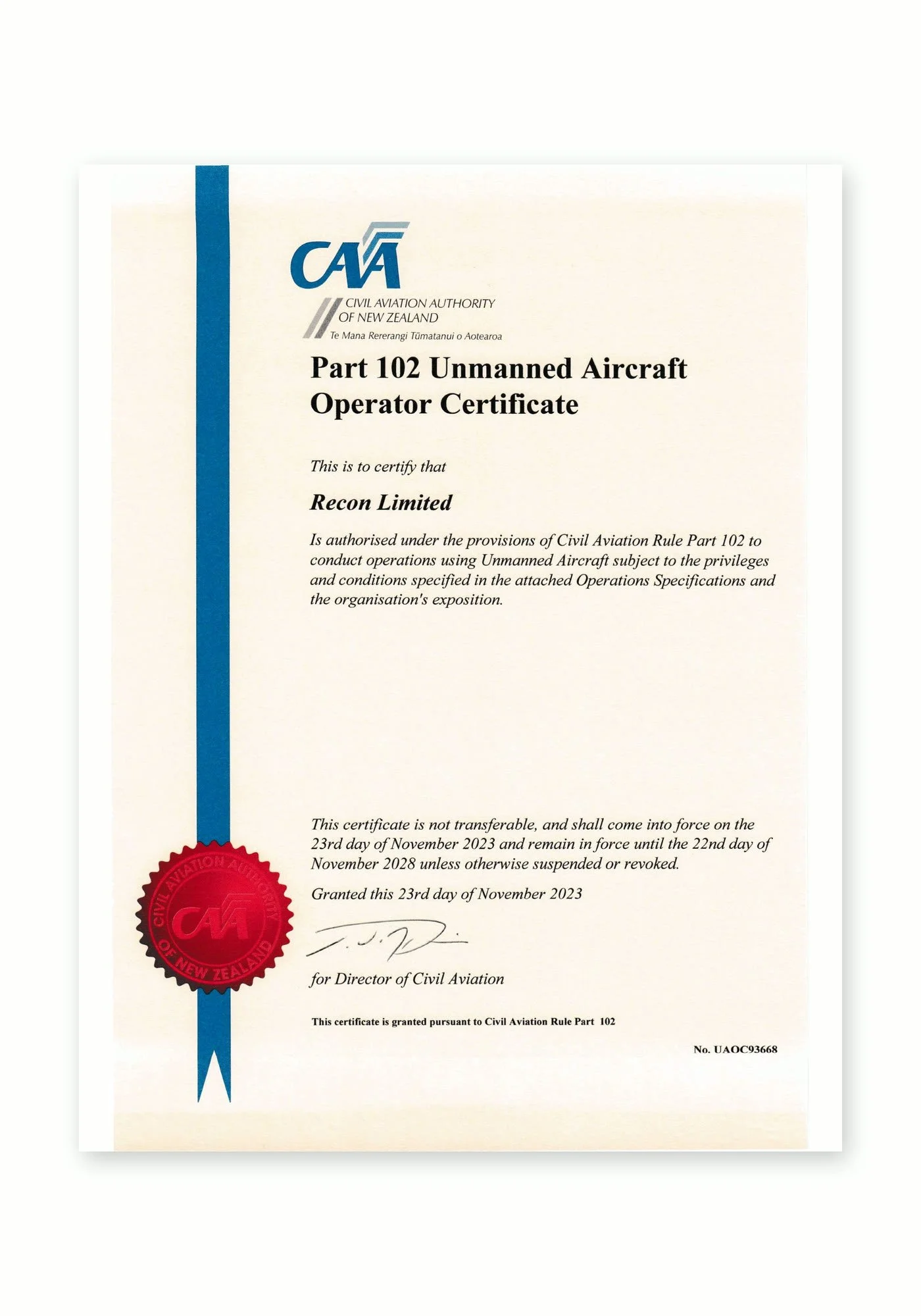
Recon is a CAA Part 102 certificated unmanned aircraft operator. Part 102 is the Civil Aviation Authority of New Zealand’s certification for commercial drone operators who need to work beyond the standard Part 101 rules, and it is only granted once the CAA has reviewed and approved how an operator identifies and manages every hazard and risk.
What Part 102 certification means for your project:
More places we can fly: our certificate allows us to be approved for work that standard Part 101 rules restrict, such as flying over people or property, near aerodromes or in controlled airspace, subject to the conditions of our certificate and the required permissions.
A CAA-approved exposition: every operation follows our approved procedures for pilot competency, aircraft maintenance, flight planning and emergency response.
Job-specific risk management: each inspection includes a site risk assessment, airspace checks and coordination with air traffic control, landowners and site managers where needed.
Ongoing CAA oversight: as a certificated operator we are subject to CAA audits, giving asset owners and principal contractors confidence that the work meets New Zealand aviation safety standards.
Alongside our Part 102 certification, Recon holds SiteWise Gold accreditation and is a Site Safe member, so our health and safety systems meet the expectations of New Zealand’s leading contractors and asset owners.
Agriculture & Environment FAQs
-
Yes. Laser pulses pass through gaps in the canopy, so we can separate ground from vegetation and build an accurate terrain model, even under dense plantation or native forest.
-
Yes. LiDAR records the canopy surface and the ground, so tree heights, canopy cover and density can be calculated across whole stands to support inventory and biomass estimates.
-
Drone LiDAR typically covers tens to hundreds of hectares a day, depending on terrain, vegetation and airspace. For very large areas, we can advise whether aircraft capture would be more cost-effective.
-
Yes. We install permanent control and repeat the same flight plan and methods, so erosion, growth or treatment effects can be measured reliably over time.
-
Under our CAA Part 102 certificate we can fly over private land once owners and occupiers are notified. For conservation land, we work with the land manager on access and any conditions.
Our Drone Fleet & Equipment
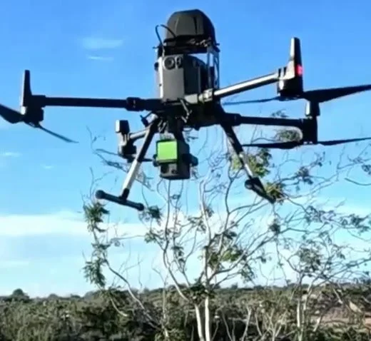
DJI Matrice 300 RTK
Heavy-lift inspection and survey platformOur workhorse for demanding sites. RTK positioning, up to 55 minutes of flight time and IP45 weather resistance let us fly longer, more precise missions while carrying professional camera payloads.
DJI Camera Payloads
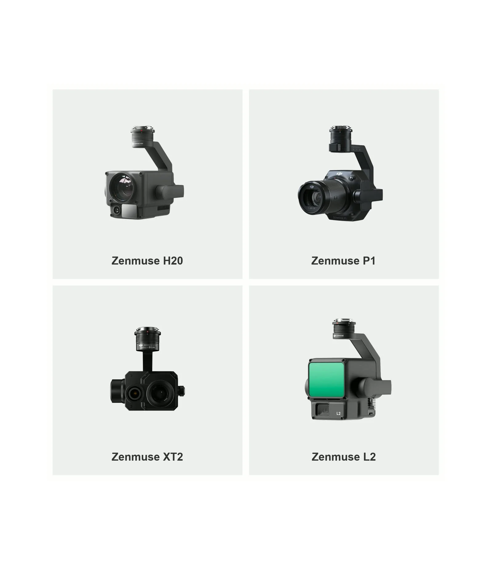
Zenmuse H20, P1, XT2 and L2The full-frame P1 with 35mm and 50mm lenses captures survey-grade imagery for photogrammetry and 3D models. The H20 zoom camera inspects fine detail from a safe distance, the XT2 thermal camera reveals heat-related faults, and the L2 LiDAR sensor captures accurate 3D point clouds.
DJI Mavic 3 Enterprise
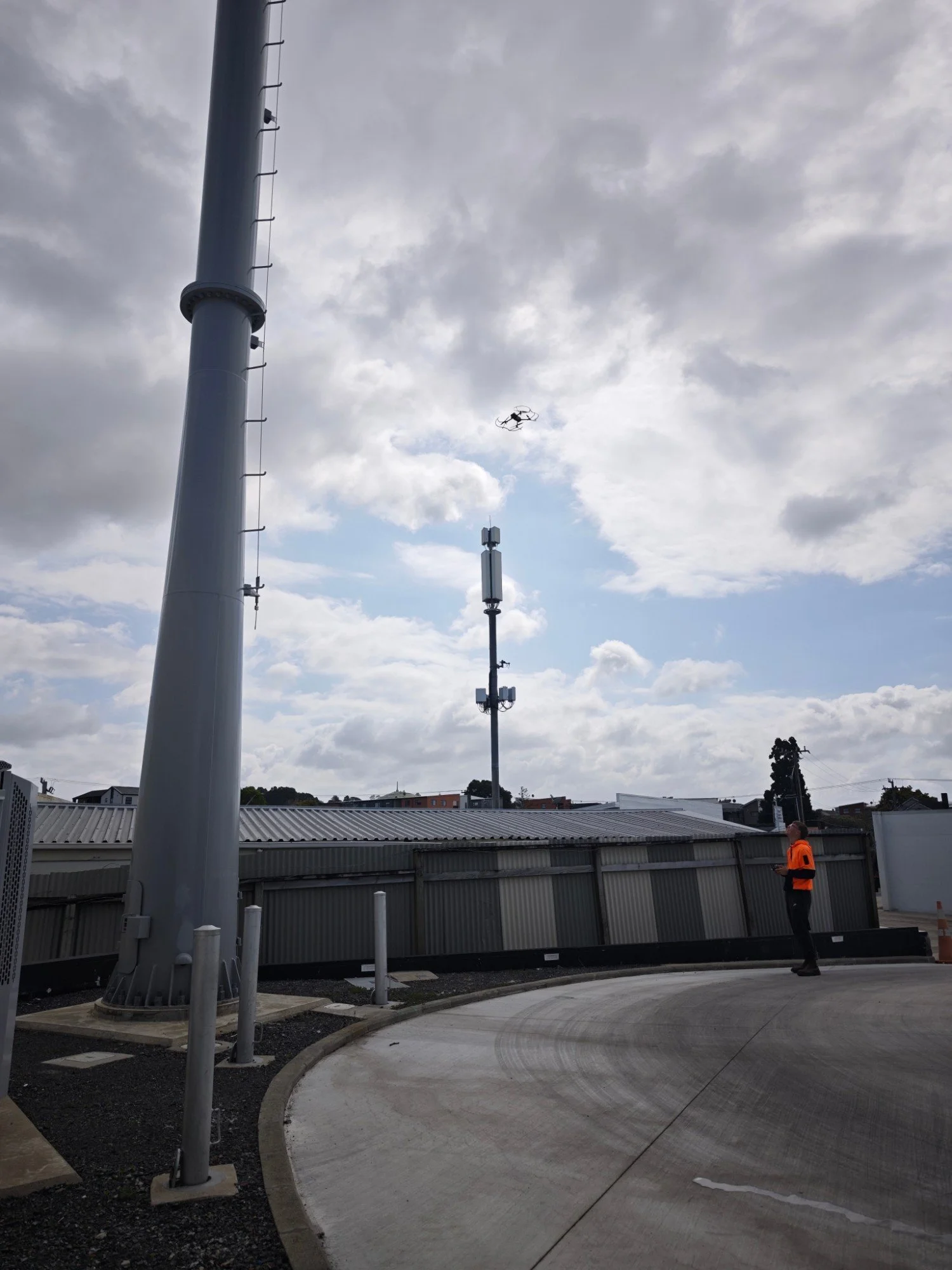
Compact rapid-deployment droneQuick to deploy on smaller sites, roofs and tight spaces. Its mechanical-shutter wide camera and zoom camera deliver sharp inspection imagery and mapping data without the setup of a larger aircraft.