
Surveying Services for Council Planning and Development
We provide surveying services to support council urban planning and development projects.
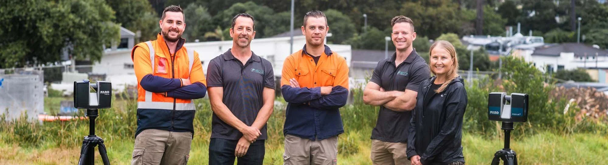
The Experts
Jeremy Neilson, Recon’s Managing Director, excels in aerial mapping and UAV technology, providing high-resolution spatial data. Ben Cook, Operations Manager, integrates his engineering background with UAV and laser scanning expertise. Matt, a UAV pilot and surveyor, delivers accurate data across various projects. Liam combines international UAV experience with a background in biological sciences for improved data collection. Anna, our Business Development Manager, enhances productivity and process efficiency with her business management skills and project management experience.
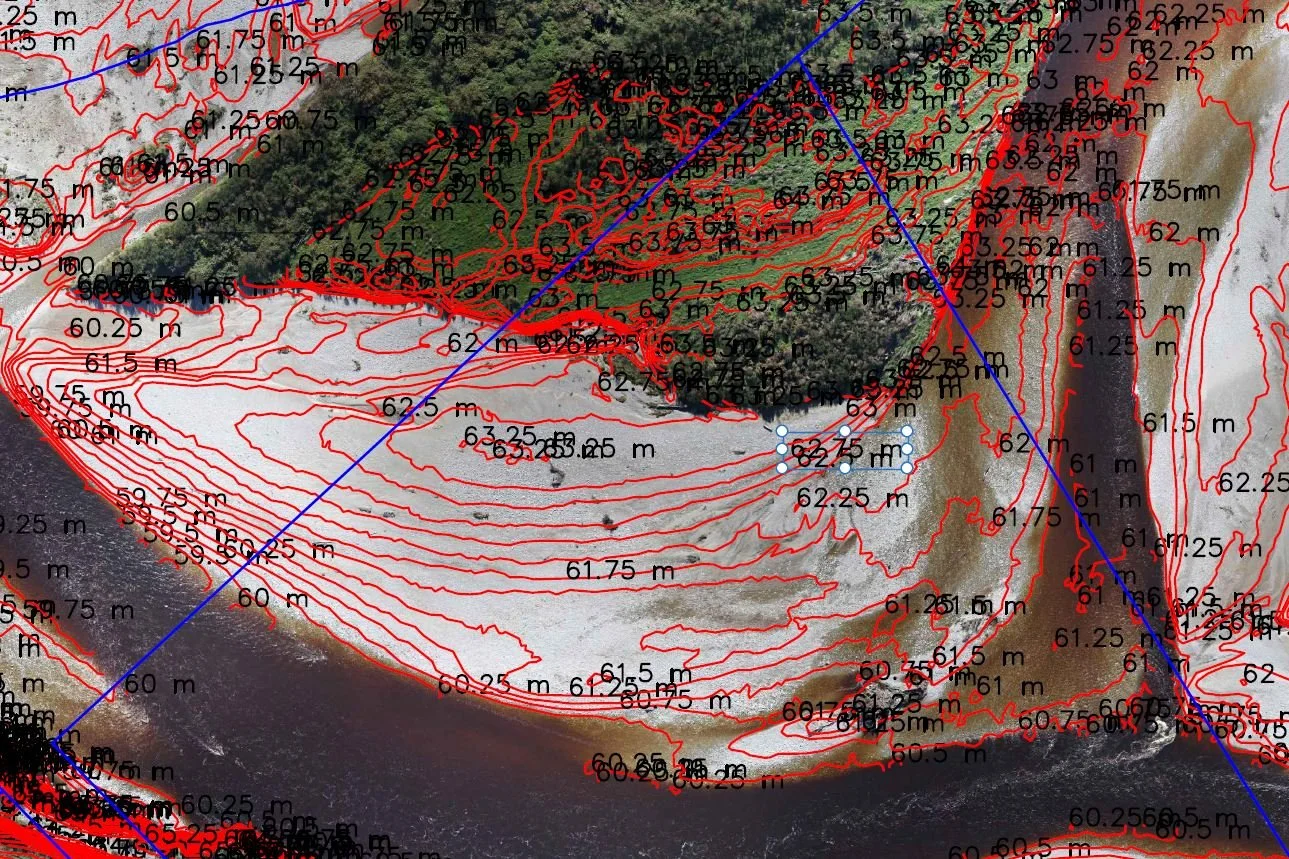
3D Reality Modelling in the Waikato Case Study
Waikato DC's GIS department initiated a 3D mapping project for Tuakau township. Recon delivered a fully immersive 3D model, providing a highly visual and insightful tool for their users.
Recon is a leading provider of advanced surveying and mapping solutions throughout New Zealand, specialising in drone surveying, UAV technology, aerial mapping, and laser scanning. Dedicated to delivering high-resolution, accurate spatial data, Recon serves industries such as energy, agriculture, and urban planning.