3D Reality Modelling in the Waikato
Realising to experience true reality from the comfort of their office, Waikato DC's GIS dept embarked on a 3D mapping exercise of their townships. The deliverable, a fully immersible, 3D model created by Recon which would not only be very visual but support the sort of intelligence their users rely on.
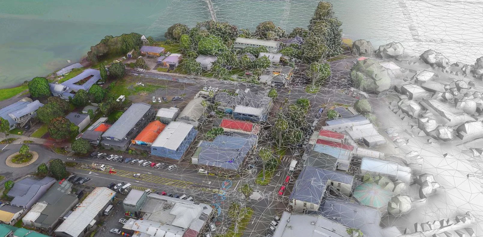


The models allows staff to import their designs into photo-realistic environments and use this to ascertain suitability within the environment its proposed, create view sheds and support other geospatial analysis. Further benefits were also encountered, including how the model can assist communication with project stakeholders, contractors and the public.
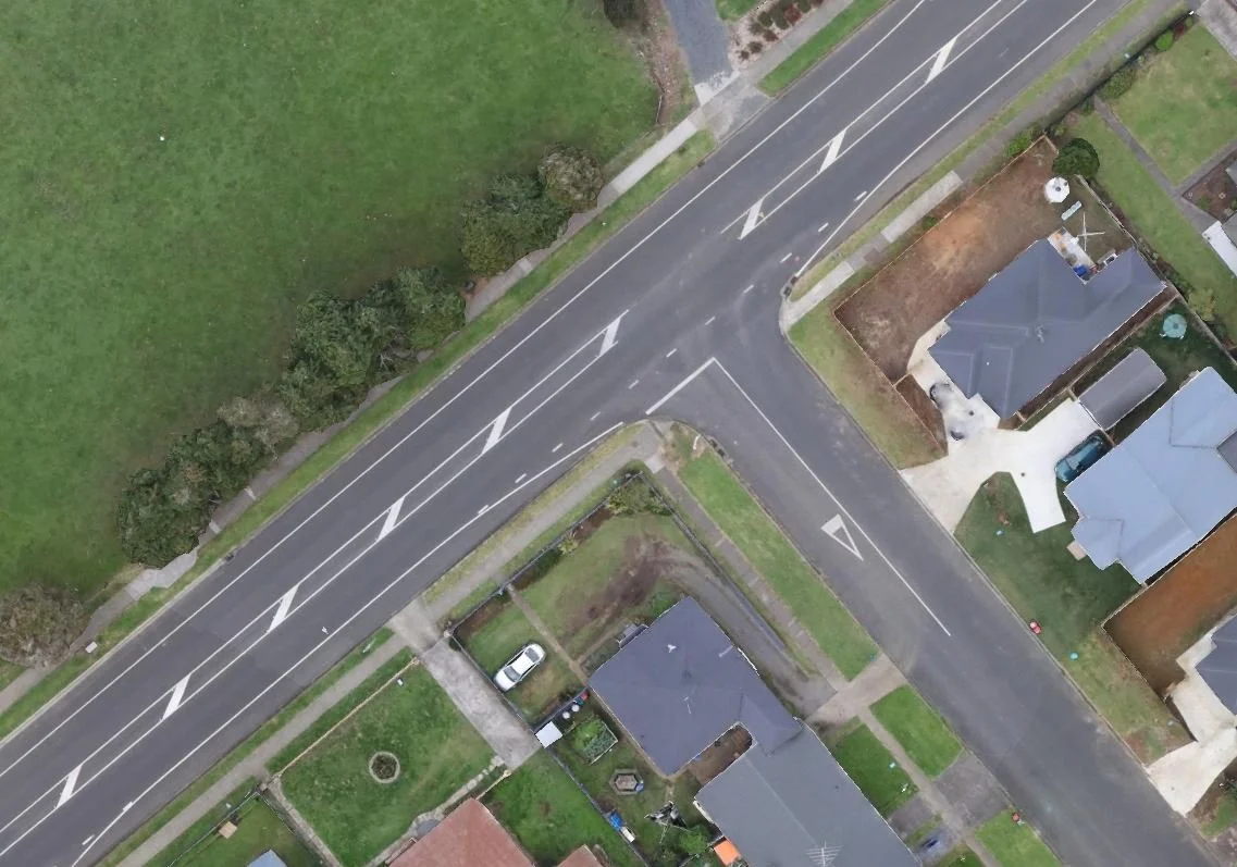
In addition, additional outputs include high resolution orthophotography and pointclouds accurate enough to generate 0.5m contours, both highly useful resources to assist planning and designing small or large scale projects.
Waikato DC utilises Skyline's TerraExplorer for managing and viewing the 3D content.
Using 3D Reality Modelling, there really is no limit to the scale of your project. Small intricate models to entire cities, reality modelling allows you greater context when analyzing design, viewing construction, or planning infrastructure.
Recon uses hi tech software to integrate accurate laser scanning with high resolution UAV photography. The output is engineering-ready reality meshes.
The ability to share reality meshes that can be viewed on mobile devices, as well as laptops & desktops means there is unlimited scope to the when and where the planning of your next project takes place.
Visit our LinkedIn page to see more samples:
https://www.linkedin.com/company/recon.nz/