
Surveying Services for Transportation Projects
From railways and airports to roadways and highways, we ensure that your infrastructure projects are on track and on budget.
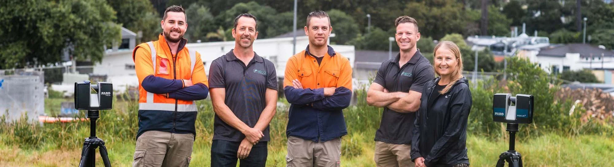
The Experts
Jeremy Neilson, Recon’s Managing Director, excels in aerial mapping and UAV technology, providing high-resolution spatial data. Ben Cook, Operations Manager, integrates his engineering background with UAV and laser scanning expertise. Matt, a UAV pilot and surveyor, delivers accurate data across various projects. Liam combines international UAV experience with a background in biological sciences for improved data collection. Anna, our Business Development Manager, enhances productivity and process efficiency with her business management skills and project management experience.
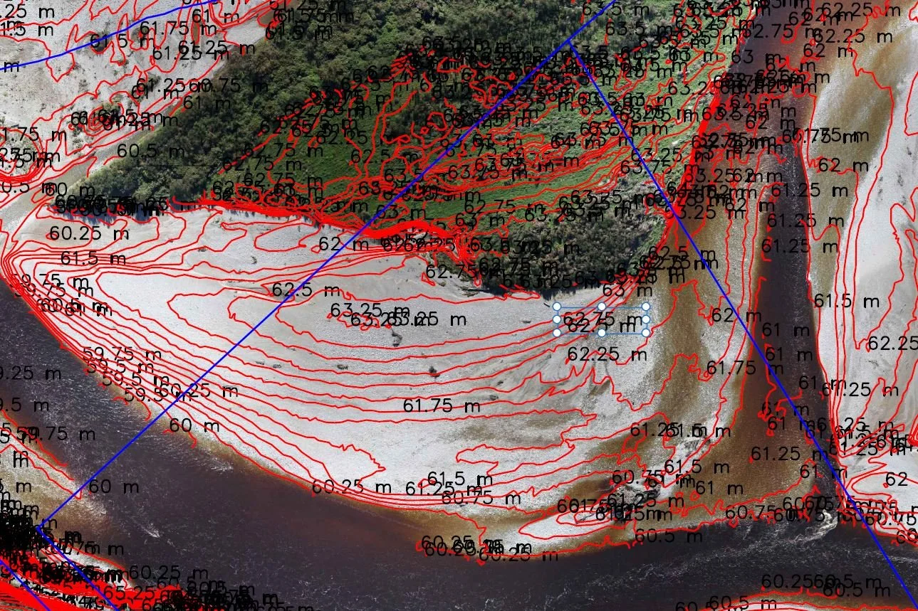
UAV LiDAR Mapping for Kiwirail Case Study
“Recon did a great job diving into the project and delivering the LiDAR and aerial imagery within a very compressed timeframe. ”
UAV Survey – Kiwirail’s Key Link Case Study
“Both the cost and time advantages in using UAV technology compared to traditional ground surveys are significant, especially where we need to access remote sites, or sites where interruption to traffic flow is problematic, such as on a primary rail line,”
Recon is a leading provider of advanced surveying and mapping solutions throughout New Zealand, specialising in drone surveying, UAV technology, aerial mapping, and laser scanning. Dedicated to delivering high-resolution, accurate spatial data, Recon serves industries such as energy, agriculture, and urban planning.