
3D Modelling Services Auckland & NZ Wide
Recon produces accurate, detailed 3D CAD and Revit models across Auckland and New Zealand. We build this from real-world data captured by laser scanning, LiDAR and drone platforms of individual buildings and objects through to entire landscapes.
Why use 3D Modelling?
3D modelling surveying is used in a variety of applications including urban planning, architecture, engineering and construction. It allows designers and planners to visualise and simulate proposed projects in a realistic way and to identify potential problems before construction begins.
Our 3D Modelling Expertise
With over 40 years combined experience in 3D modelling, we deliver accurate, detailed 3D CAD and Revit models using data captured from a range of platforms, from small, intricate objects to entire landscapes. We deliver 3D BIM construction models compatible with Revit and other major CAD and design software.
Our software allows us to create virtual ‘walk-through and measure’ tools, letting clients explore the site remotely. Using FARO FOCUS 3D scanners, we measure and capture precise 3D data.
Located in the North Island and serving clients across New Zealand, Recon is here to support your project. We have also completed some international assignments.
Recon has a SiteWise Gold accreditation.
Need accurate 3D modelling services in Auckland or NZ wide? Talk to our team today.
Our 3D Modelling Workflow
1. Start with Accurate Reality Capture
Every modelling project begins with reliable site data. We typically use high-definition 3D laser scanning to capture exact physical dimensions and conditions, ensuring a precise foundation for all downstream modelling.
For more detail on how this data is captured, see our 3d laser scanning service.
2. Transform Data into a Usable Model
Captured scan data is processed into a coordinated point cloud and developed into a structured 3D CAD or BIM (Revit) model. This creates a dependable digital representation tailored to your project requirements.
3. Verify As-Built Conditions
With an accurate model in place design teams can verify structure, layout, levels and services against real-world conditions. Helping to identify clashes, irregularities and constraints early in the process.
4. Design with Confidence
Accurate 3D models allow architects, engineers and consultants to design efficiently knowing the model reflects real-world conditions.
5. Improve Coordination & Collaboration
3D models provide a shared reference for all stakeholders, enabling clearer communication, fewer RFIs and smoother interdisciplinary coordination.
6. Reduce Risk, Time & Cost
By eliminating surprises during construction, 3D modelling minimises rework, delays and cost overruns.
7. Reuse the Data for the Future
The model becomes a long-term asset for facility management, future renovations, heritage archiving or structural monitoring.
-
3D modelling is a process of creating a digital representation of the physical environment in three dimensions. It involves using surveying techniques and remote sensing technologies, such as LiDAR to collect data on the terrain, objects and features in an area, and then using specialised software to create a detailed 3D model.
Revit 3D modelling creates a digital building model in BIM software, including walls, doors, windows, structure, and optional details like lighting, HVAC, and electrical systems.
-
Design with Confidence
An accurate digital model of your building, object or landscape allows you to test layouts and explore design options and identify potential issues early. This enables better decision-making before any physical work begins.Reduce Risk and Rework
By working from precise, real-world data, you can detect clashes and inconsistencies in advance. This reduces costly errors, delays and rework during design and construction.Remote Collaboration
Access your model from anywhere and review it on your device without needing to be on site. Teams can collaborate more efficiently, share feedback and make faster, informed decisions.Precision at Any Scale
3D models capture exact measurements and detailed conditions, ensuring accuracy across projects of any size. They integrate seamlessly with CAD, Revit and BIM software for consistent, reliable outputs.Future-Proof Your Asset
A 3D model provides a lasting digital record of your asset. It supports future planning, renovations and ongoing maintenance with dependable, up-to-date information. -
Common deliverables include:
· Registered pointclouds (RCP, E57, LAS)
· 3D CAD or BIM models
· 2D plans, sections, and elevations
· Formats such as:
- DWG
- IFC
- RVT
-
We regularly produce 2D drawings from scans, including elevations and floor plans as they provide an accurate and detailed reference for projects of all complexities.
-
The client defines the level of detail required including any specific instructions and our modellers will adhere to these and complete the project in a timely fashion
-
Revit provides an efficient and streamlined workflow, allowing teams to quickly make changes and updates to the design, reducing the time and effort needed to complete a project. Revit models can be utilised within BIM models
-
Our software enables us to produce ‘walk-through and measure’ tools which permits clients to ‘visit’ the site virtually, without leaving their desk.
-
Some clients prefer to work with the pointclouds themselves, often able to perform design and clash-detection routines (as examples) directly within their own software
-
3D scanning enables the creation of topographic surveys with much more efficiency in situations where access is difficult or significant detail is required.
Industries We Work With
Architecture, Construction & Engineering
Creating detailed models of buildings and structures allows architects and engineers to visualise and simulate different design options.
Heritage
3D modelling allows heritage buildings to be digitally captured preserving their structure and features for documentation. It enables accurate planning for seismic strengthening and renovations while minimising risk to the original structure.
Land Development
Developers use 3D models to plan layouts and assess site conditions. The model is referenced throughout the design process.
Power and Utilities
Accurately map assets and infrastructure for maintenance and upgrades.
Transport
Accurately map roads, rail, bridges and surrounding terrain, leading to cost effective infrastructure delivery.
Agriculture & Forestry
3D modelling accurately map landscapes and natural features for monitoring and resource management. It enables data-driven decisions for conservation, irrigation and land-use projects while reducing fieldwork.
Contact us today to see how we can help!

Heritage
BIM
Commercial
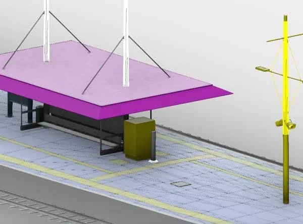
Transport
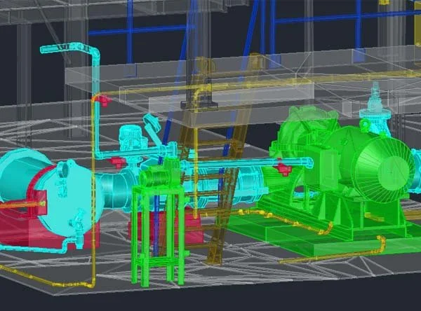
Plant
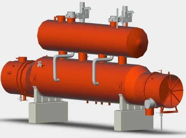
Industrial
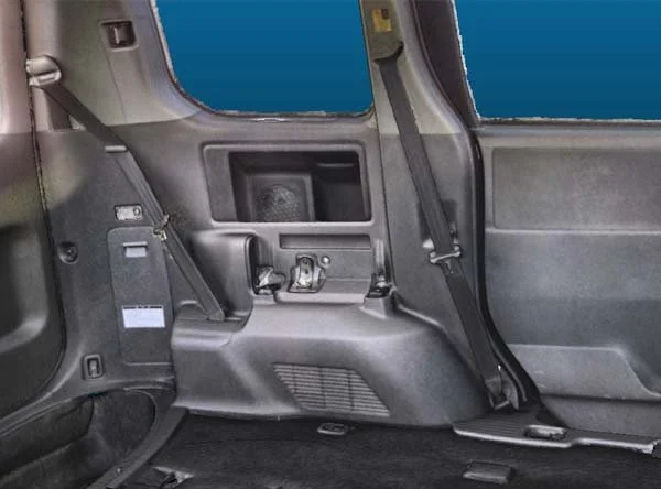
Automotive
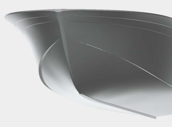
Marine
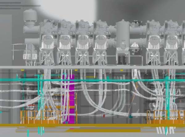
Utilities
Ron Kumar - Ark Studio
“We (ark studio - architectural designer) engaged Jeremy & the team to carry out as-built measure and produce 2d & 3D drawings of an existing 2 level 500m2+ commercial building, really happy with the outcome, their prompt delivery and communication. Would not have been able to get the ball rolling on this project without Recon”
Case Studies
-
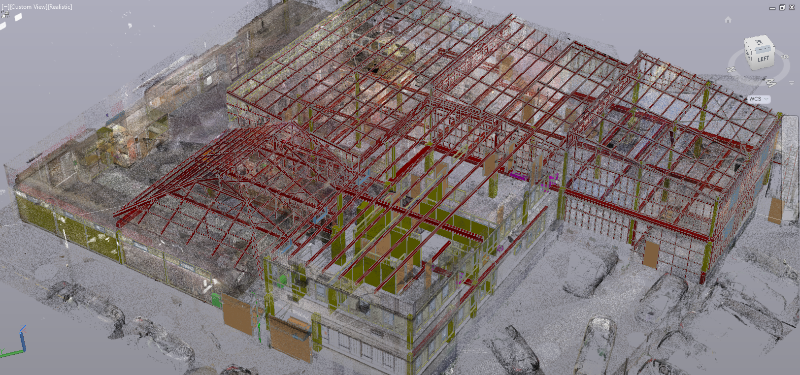
3D Scan to CAD Model – Building Renovation
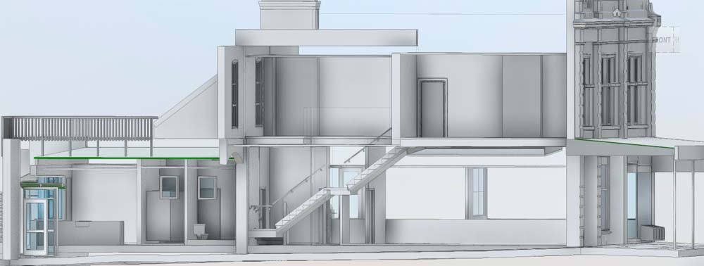
Recon’s 3D scanning and modelling service captured the exact dimensions of three adjoining commercial buildings in South Auckland, allowing the architect to focus on design rather than measurement. Using high-definition laser scans tied to LINZ survey data, Recon produced sub-centimetre accurate CAD and IFC models within two weeks. This ensured accurate design documentation and streamlined the construction process.
Measurable outcomes:
100+ 3D scans completed in 6 hours using FARO Focus 3D scanners
Registered pointcloud delivered within 24 hours
Full internal and external cad modelling services completed in 2 weeks
Sub-centimetre accuracy achieved, aligned with LINZ parcel boundaries
Models exported in IFC and DWG formats for design and construction use
-
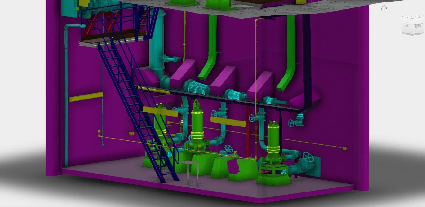
Watercare Asset Management Auckland
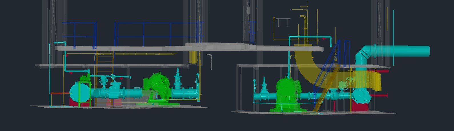
Recon provided 3D scanning and CAD modelling of Watercare’s pump stations, capturing both interior and exterior structures with high accuracy. This allowed Watercare to better understand their assets and support planned maintenance and upgrades across the wastewater network. By integrating scans with existing data, Recon helped standardise a proactive approach to asset management.
Measurable outcomes:
Full 3D scanning of pump stations, including wet wells and dry wells, using FARO laser scanners and Topcon Hiper-V GPS
Permanent survey control installed for future reference
Detailed AutoCAD models produced of buildings, structural elements, equipment, and internal pipework
Confined space areas accurately scanned and modelled
Enabled proactive asset management and planning for 5–10 years of use
FAQ’s
How Accurate is 3D Modelling from Laser Scanning?
Typically ±5–10 mm for architectural models
Sub-centimetre accuracy achievable with survey control
How Long Does 3D Scanning & Modelling Take?
On-site scanning: a few hours to 1 day (size dependent)
Pointcloud registration: 24–48 hours
3D modelling delivery:
- Small buildings: 5–7 working days
- Larger or complex sites: 1–3 weeks
Who Uses 3D Modelling Services?
3D modelling services New Zealand is commonly used by:
· Architects and designers
· Structural and services engineers
· Heritage and conservation consultants
· Builders and contractors
· Facility and asset managers
· Councils and government agencies
Is 3D Modelling Suitable for Heritage Buildings?
Yes, it is ideal because:
· It captures irregular geometry and deformation
· Minimises physical site access
· Creates a permanent digital archive
· Supports:
- Seismic strengthening design
- Conservation planning
- Long-term monitoring and asset management
Do I Need 3D Modelling for Small Projects?
Often, yes, especially when:
· As-built drawings are missing or unreliable
· Renovations involve structural changes
· Boundary or height constraints apply
· Accuracy is critical to avoid rework
· Multiple consultants are involved
How is 3D Modelling Better Than Traditional Site Measuring?
3D Modelling Services Auckland & NZ Wide:
· Captures millions of data points in hours
· Eliminates manual measurement errors
· Provides full spatial context, not just spot dimensions
· Allows remote measurement and collaboration
· Reduces redesign cost and construction risk
· If you are searching CAD and BIM modelling Auckland, look no further!
From concept to final model, get accurate 3D modelling services in Auckland and throughout New Zealand. Call us today to see how we can help. We are happy to quote on projects.