NZ Steel UAV - Taking Stock
Summary
Recon’s UAV mapping technology enables New Zealand Steel to quickly and safely measure stockpile volumes at its Waikato North Head mine. The approach reduces operational disruption, keeps survey staff away from hazardous areas and provides accurate volume data for production planning.
NZ Steel UAV
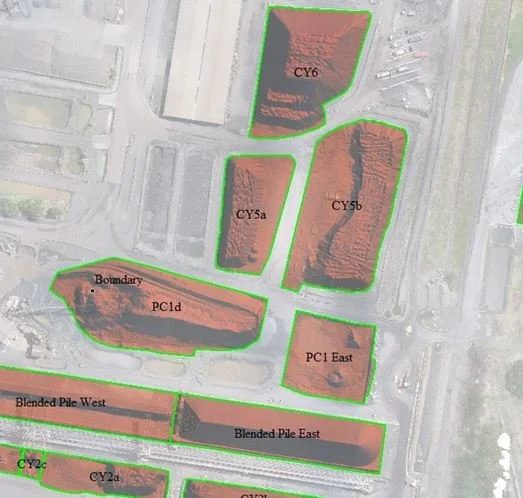
New Zealand Steel has been utilising Recon’s Unmanned Aerial Vehicle (UAV) mapping technology to accurately measure stockpile volumes on a regular basis at its Waikato North Head mine site. The technology has resulted in faster data acquisition turn-around times, as well as the elimination of survey staff from within potentially hazardous environments at the mines.
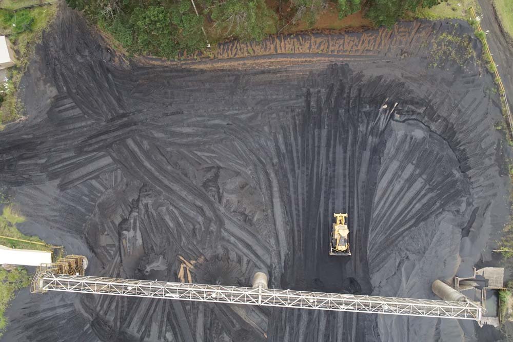
“We launch and land our multi-rotor UAV from outside the active area,” says Recon’s General Manager Jeremy Neilson. “During the entire process – which generally only involves around 15 minutes of actual flying time – none of our team needs to set foot near any of the mine’s operational zones. “This has a huge benefit for the mine operation itself, as previously whenever surveyors were on-site completing this work, the overhead conveyor belt feeding the stockpile from the refinery would need to be shut down, as would any moveable plant operating around the stockpile. Now the mine can continue operating without any interruption while we acquire the data they need.”
What’s more, Jeremy says "the robust UAV the Recon team utilises to survey the stockpile can fly under low-level cloud, meaning if weather conditions are favourable New Zealand Steel can rely on the data being captured when they require it."
The accuracy of the data – to less than 3% error and mostly better – allows New Zealand Steel to calibrate their conveyor system against current volume, meaning they have an accurate picture of how much material they need to process over any given time period.
Key Insights
Safer surveying: UAVs collect data without survey staff entering active or potentially hazardous mine areas.
Minimal operational disruption: Surveys can be completed without shutting down conveyors or mobile plant, allowing mining operations to continue.
Fast and reliable data capture: Around 15 minutes of flight time enables rapid stockpile surveys, with UAV capability allowing operation under low cloud when conditions permit.
Accurate volume measurement: Data is accurate to less than 3% error, often better, supporting conveyor calibration and more reliable material and production planning.