
LiDAR Surveying for Land Development
As a land developer, you know the importance of accurate and detailed data collection for your projects. Traditional surveying methods can be time-consuming and often result in errors. That's why LiDAR surveying has become an essential tool for land development. Here's how our LiDAR surveying services can benefit your land development projects:
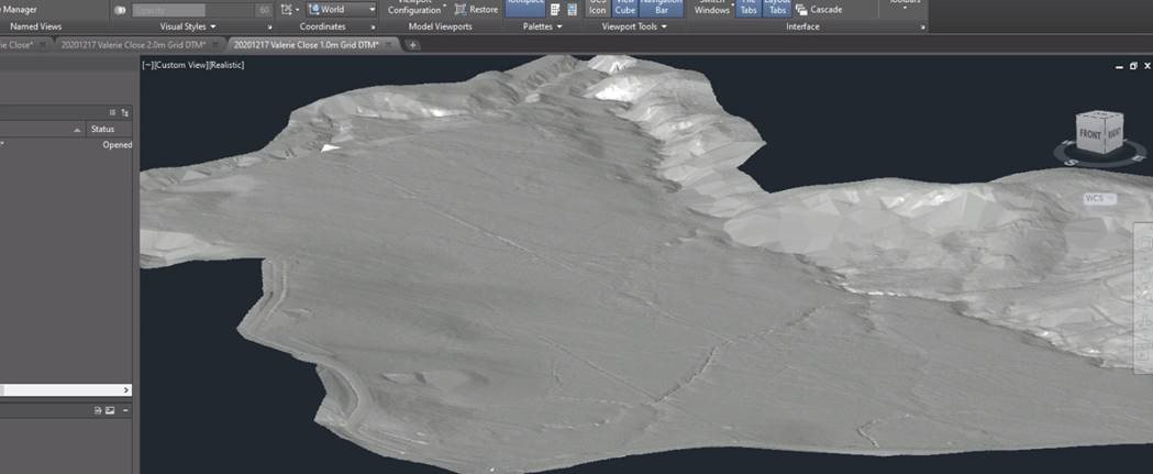
High-Precision Data Collection: Our LiDAR surveying services use advanced laser scanning technology to capture high-precision data about the land and environment you're developing. This includes precise measurements of distances, angles, and surfaces, as well as high-resolution imagery and point cloud data. This data can be used for a wide range of applications in land development, including site analysis, topographical mapping, and construction documentation.
Improved Efficiency and Accuracy: LiDAR surveying is a fast and accurate way to collect data about large areas of land. This saves time and money compared to traditional surveying methods, and also reduces the risk of errors and rework. With LiDAR surveying, you can get the data you need to make informed decisions about your land development projects, while also improving the efficiency of your processes.
Customisable Solutions: Our LiDAR surveying services are customisable to meet your specific needs. We can tailor our services to fit your project requirements and budget, providing you with a cost-effective solution that delivers the data you need, when you need it.
Frequently Asked Questions:
Q: What is LiDAR surveying?
A: LiDAR surveying is a surveying method that uses laser scanning technology to capture high-precision data about the land and environment.
Q: How can LiDAR surveying benefit land development projects?
A: LiDAR surveying can improve the efficiency and accuracy of data collection for land development projects. This allows developers to make informed decisions about their projects, while also reducing the risk of errors and rework.
Q: What kind of data can be collected with LiDAR surveying services?
A: LiDAR surveying services can collect a wide range of data, including precise measurements of distances, angles, and surfaces, as well as high-resolution imagery and point cloud data.
Our LiDAR surveying services can provide high-precision data collection, improved efficiency and accuracy, and customisable solutions for your land development projects. Contact us today to learn more about how we can support your land development projects.