
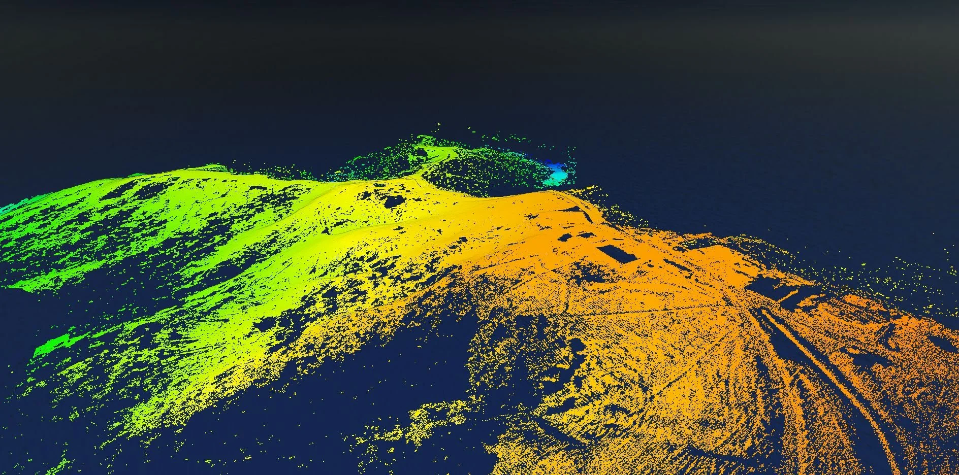
LiDAR Point Cloud in Surveying
LiDAR point cloud technology has revolutionised surveying, offering an efficient and accurate way to capture and analyse data for various projects.
At Recon, we offer reliable and efficient LiDAR point cloud surveying services that can help you achieve your project goals. Here's how our LiDAR point cloud technology can benefit your surveying project:
Accurate Data: LiDAR point cloud technology uses lasers to capture precise and accurate 3D data of the surveyed area. This data can be used to create detailed maps and models of the terrain, buildings, and other features, providing accurate and reliable information for your project. Our LiDAR point cloud surveying services use advanced technology and equipment to capture and process data accurately.
Efficient Data Collection: LiDAR point cloud technology can collect large amounts of data quickly and efficiently, reducing the need for lengthy manual surveys. This means that surveying companies can get the data they need to make informed decisions faster, improving their efficiency and productivity. Our LiDAR point cloud surveying services can help you save time and costs associated with traditional surveying methods.
Versatility: LiDAR point cloud technology can be used in various surveying projects, including topographic mapping, construction site monitoring, and building information modelling. Our LiDAR point cloud surveying services are tailored to your project needs, and we can help you achieve your goals, no matter the complexity of your project.
Frequently Asked Questions:
Q: What is LiDAR point cloud?
A: LiDAR point cloud is a surveying technology that uses lasers to capture precise and accurate 3D data of the surveyed area, generating a large number of data points that can be used to create detailed maps and models.
Q: How can LiDAR point cloud benefit my surveying project?
A: LiDAR point cloud technology can provide accurate and efficient data for your project, saving time and costs associated with traditional surveying methods.
Q: What types of surveying projects can use LiDAR point cloud technology?
A: LiDAR point cloud technology can be used in various surveying projects, including topographic mapping, construction site monitoring, and building information modelling.
Our LiDAR point cloud surveying services provide accurate and efficient data for various surveying projects, saving time and costs associated with traditional surveying methods.
Contact us today to learn more about how our LiDAR point cloud surveying services can support your project and help you achieve your goals.