
UAV Surveying Services for the Building Industry
As a builder or contractor, you know the importance of accurate data collection for your projects. Traditional surveying methods can be time-consuming and costly, and may not always provide the level of detail you need. That's why UAV surveying services have become an essential tool for the building industry. Here's how our UAV surveying services can benefit your building projects:
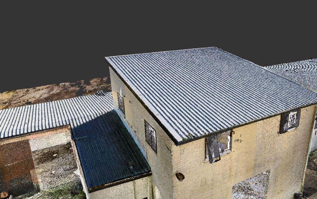
Fast and Accurate Data Collection: Our UAV surveying services provide fast and accurate data collection of construction sites and structures. Using advanced drone technology, we can quickly capture high-resolution imagery, topographical maps, and other data to support your building projects. This saves you time and money, while also improving the accuracy and quality of your data.
Improved Safety: UAV surveying services can also improve safety on construction sites. By using drones to collect data, we can reduce the need for workers to climb scaffolding or work at heights, reducing the risk of accidents and injuries. This also allows us to access hard-to-reach areas, such as roofs or tall structures, without putting anyone at risk.
Flexible and Customisable Solutions: Our UAV surveying services are flexible and customizable to meet your specific needs. We can tailor our services to fit your project requirements and budget, providing you with a cost-effective solution that delivers the data you need, when you need it.
Frequently Asked Questions:
Q: What is UAV surveying?
A: UAV surveying, or drone surveying, is the use of unmanned aerial vehicles to collect data about construction sites and structures.
Q: What kind of data can be collected with UAV surveying services?
A: UAV surveying services can collect a wide range of data, including high-resolution imagery, topographical maps, and other geospatial data.
Q: How can UAV surveying services benefit the building industry?
A: UAV surveying services can save time and money, improve data accuracy and quality, and enhance safety on construction sites. This makes them an essential tool for the building industry.