
Drone Inspection Services
We provide ground and air inspection services across Auckland and New Zealand. Utilising UAVs, also known as drones, to get up close safely and economically.
Our UAV fleet reaches difficult and dangerous places without putting people in harm’s way. On-board cameras with optical zoom deliver crisp, high-resolution photos and video that reveal degradation or faults which would otherwise mean sending someone up to the asset, an approach that is dangerous, expensive and time-consuming.
-
No scaffolding, rope access or elevated work platforms. Our pilots stay on the ground while the drone gets up close, keeping people out of harm’s way.
-
Most structures can be captured in a single site visit, with minimal disruption to your operations and no costly access equipment to hire.
-
High-resolution imagery, thermal data and 3D models give you a permanent record of the asset that your team can review, measure and share long after the flight.
What We Inspect
-
Building Inspection
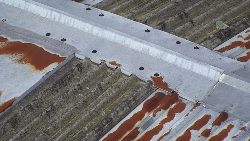
From roofs, gutters and facades to interior spaces, our drones capture detailed imagery of commercial and residential buildings without the need for scaffolding or roof access. Ideal for maintenance planning and condition reporting.
-
Power & Utility Inspection
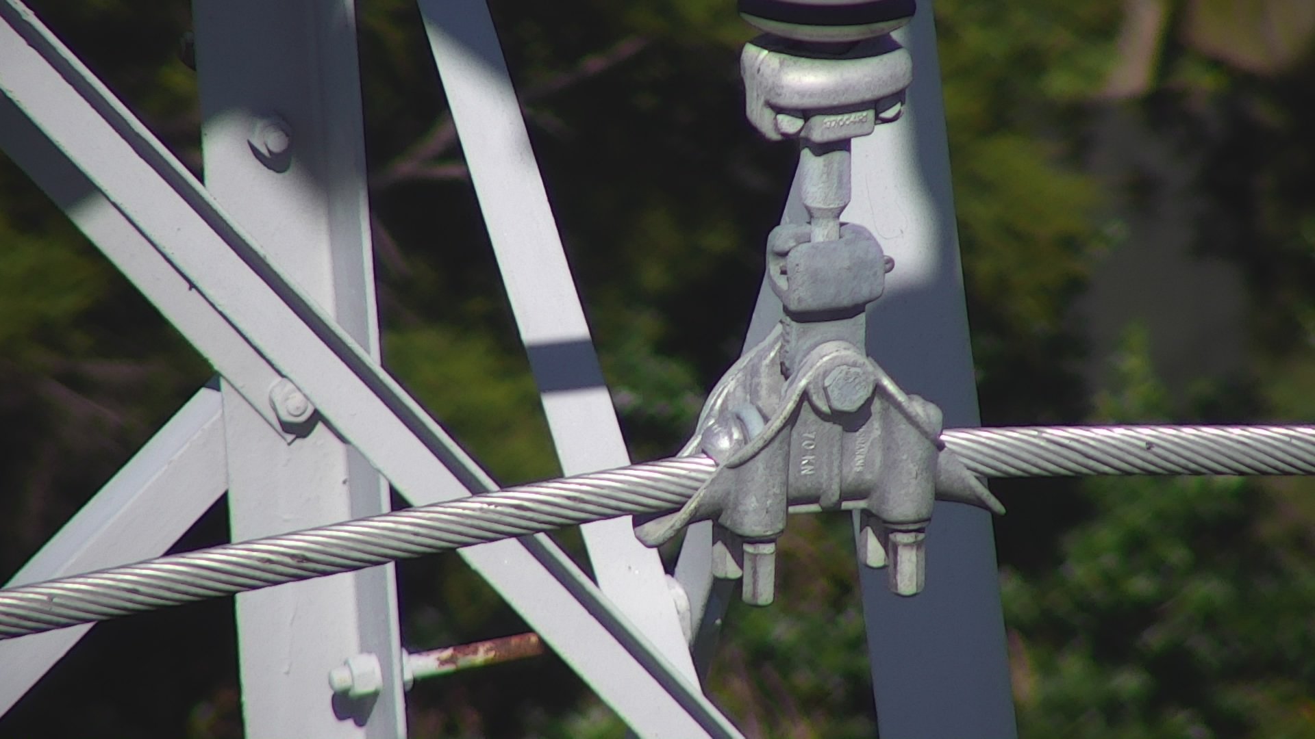
High resolution images captured from a safe distance are a logical way to find corrosion or faulty components. These can be coupled with thermal images in instances where emitted heat provide evidence of a fault.
-
Bridge & Transport Inspection
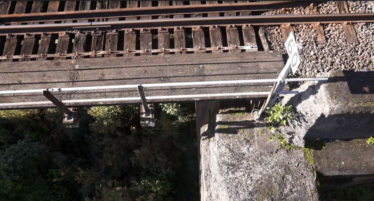
Bridges, rail or road assets can be assessed quickly and efficiently. Recon's specialist inspection cameras can look in all directions including upwards, allowing engineers to assess bridge cracking or other structural defects.
Cell Tower Inspection & 3D Reverse Engineering
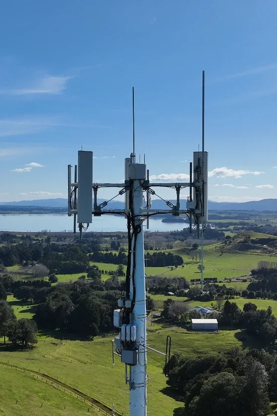
Recon works with telecommunications infrastructure providers to inspect and digitally capture cell towers (also known as communication towers) and the equipment mounted on them. Our UAVs get up close to antennas, mounts, cabling and steelwork without sending people up the structure, capturing high-resolution imagery that shows corrosion, damage or loose fittings. The same flight can be planned for photogrammetry, producing an accurate 3D model of the tower and its surroundings for asset audits and upgrade planning.
When new equipment needs to be installed, reverse engineering can be used to capture existing brackets, headframes and mounting components and turn them into precise CAD models. This gives engineers verified dimensions to design new mounts, check clearances and fabricate parts that fit first time, reducing site visits, outage windows and rework.
Our Inspection Services
Every inspection is planned around what you need to find and what you need to deliver. That might be a quick visual check, a detailed condition record, or survey-grade data for design work.
Live on-site assessment: Asset owners and engineers can watch the inspection in real time on the pilot’s screen. They can direct the camera to areas of concern and make decisions on the spot, without anyone working at height.
High-resolution imagery: Optical zoom cameras capture detailed photos and video of hard-to-reach areas from a safe distance. Corrosion, cracking, loose fittings and other defects are clearly visible, and every image is saved for your records and follow-up.
Thermal imaging: Thermal cameras can be added to show heat-related faults that a standard camera can’t see, such as failing electrical components, moisture ingress or insulation loss.
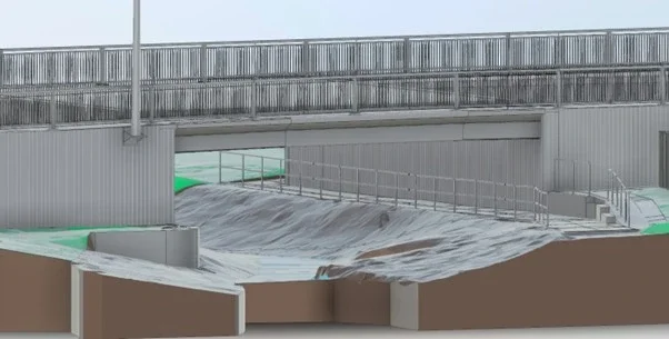
Asset modelling: When you need 2D drawings or a 3D CAD model, we plan the flight for photogrammetry. That turns the same inspection into accurate, measurable geometry for design, upgrades and maintenance planning.
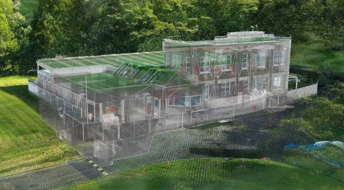
Reality modelling and digital twins: Going a step further, we can produce a highly realistic digital twin of your asset. Your team can view, measure and analyse it from any desktop, with no repeat site visits.
3D laser scanning: Where you need millimetre-level detail, such as plant rooms, bridge undersides or equipment mounts, we combine drone data with terrestrial laser scanning for a complete point cloud of the site.
Inspection reporting: Findings can be delivered as annotated images through to full digital models, so the information goes straight to the people who need to act on it.
How a Drone Inspection Works
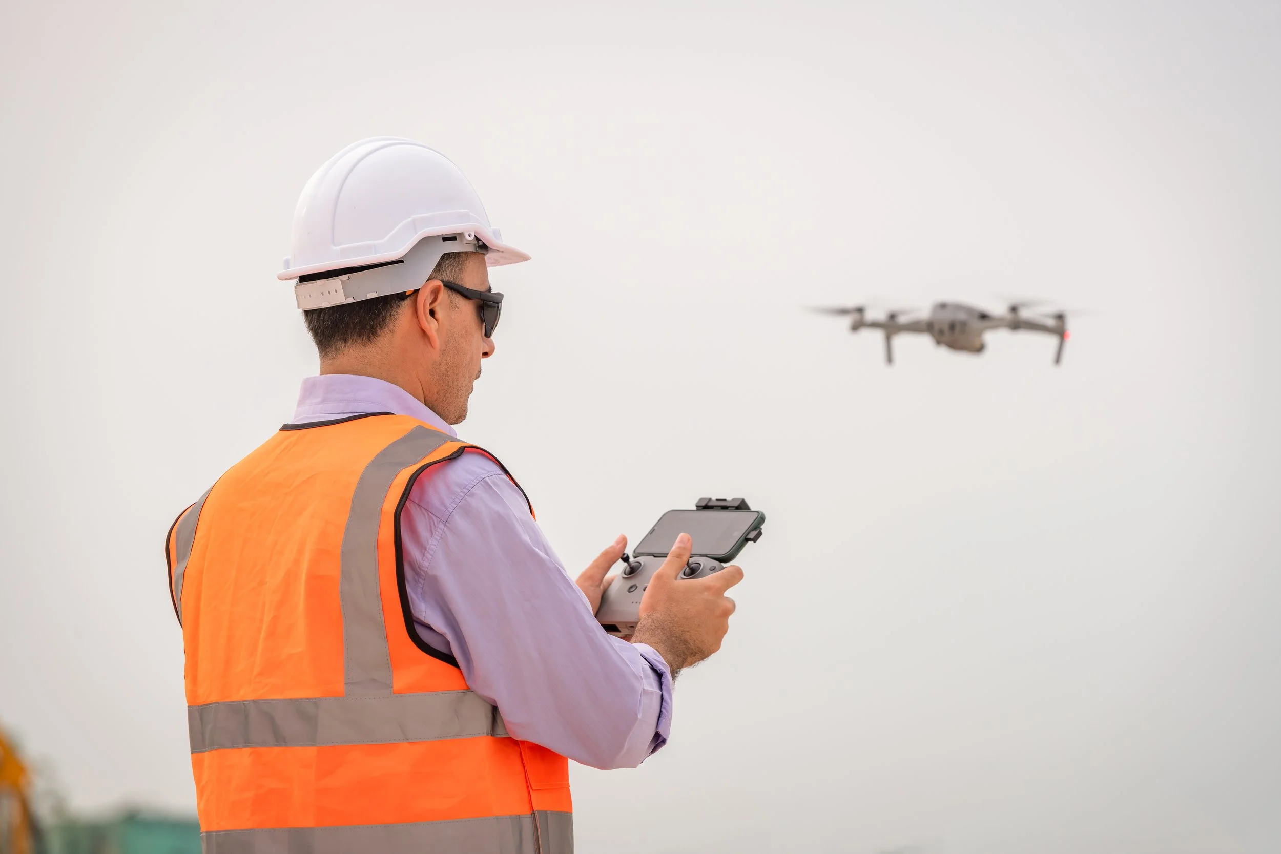
We confirm what you need to find and deliver, assess the site, and arrange airspace approvals, landowner permissions and a site-specific safety plan before we fly.
1. Plan & approve
Our certified pilots fly the inspection, capturing high-resolution imagery, video, thermal data or survey-grade photogrammetry. You can watch live and direct the camera to areas of concern.
2. Capture on site
We process and review the data, then deliver exactly what you need, from annotated images and condition notes to 3D models, point clouds and digital twins.
3. Process & report
Certified, Safe and Fully Compliant
Recon is a CAA Part 102 certificated unmanned aircraft operator. Part 102 is the Civil Aviation Authority of New Zealand’s certification for commercial drone operators who need to work beyond the standard Part 101 rules, and it is only granted once the CAA has reviewed and approved how an operator identifies and manages every hazard and risk.
What Part 102 certification means for your project:
More places we can fly: our certificate allows us to be approved for work that standard Part 101 rules restrict, such as flying over people or property, near aerodromes or in controlled airspace, subject to the conditions of our certificate and the required permissions.
A CAA-approved exposition: every operation follows our approved procedures for pilot competency, aircraft maintenance, flight planning and emergency response.
Job-specific risk management: each inspection includes a site risk assessment, airspace checks and coordination with air traffic control, landowners and site managers where needed.
Ongoing CAA oversight: as a certificated operator we are subject to CAA audits, giving asset owners and principal contractors confidence that the work meets New Zealand aviation safety standards.
Alongside our Part 102 certification, Recon holds SiteWise Gold accreditation and is a Site Safe member, so our health and safety systems meet the expectations of New Zealand’s leading contractors and asset owners.
Drone Inspection FAQs
-
In most cases, no. Drone inspections are non-contact, so buildings, sites and networks can usually keep operating while we fly. Where we are working near energised equipment, traffic or the public, we plan the inspection with your site team to keep everyone safe.
-
It is up to you. Many clients like to watch the live feed and direct the camera to areas of concern, but we can also complete the inspection independently and send you the results.
-
Often, yes. As a CAA Part 102 certificated operator, we can be approved for operations that standard drone rules restrict. We arrange the required airspace approvals and permissions before the job.
-
Deliverables are tailored to your project and can include high-resolution photos and video, annotated images of defects, thermal imagery, inspection notes, 3D models, point clouds and digital twins.
-
Most single buildings or structures can be captured in a few hours on site. Larger or more complex sites may take longer, and processing time depends on the deliverables you need. We will give you a clear timeframe when we quote.
-
We are based in Auckland and work across Auckland, Waikato, Bay of Plenty and Northland, and we take on projects throughout New Zealand.
-
Cost depends on the size and complexity of the site, access and airspace requirements, and the deliverables you need. Contact us with your project details for a tailored quote.
Case Studies
Our Drone Fleet & Equipment
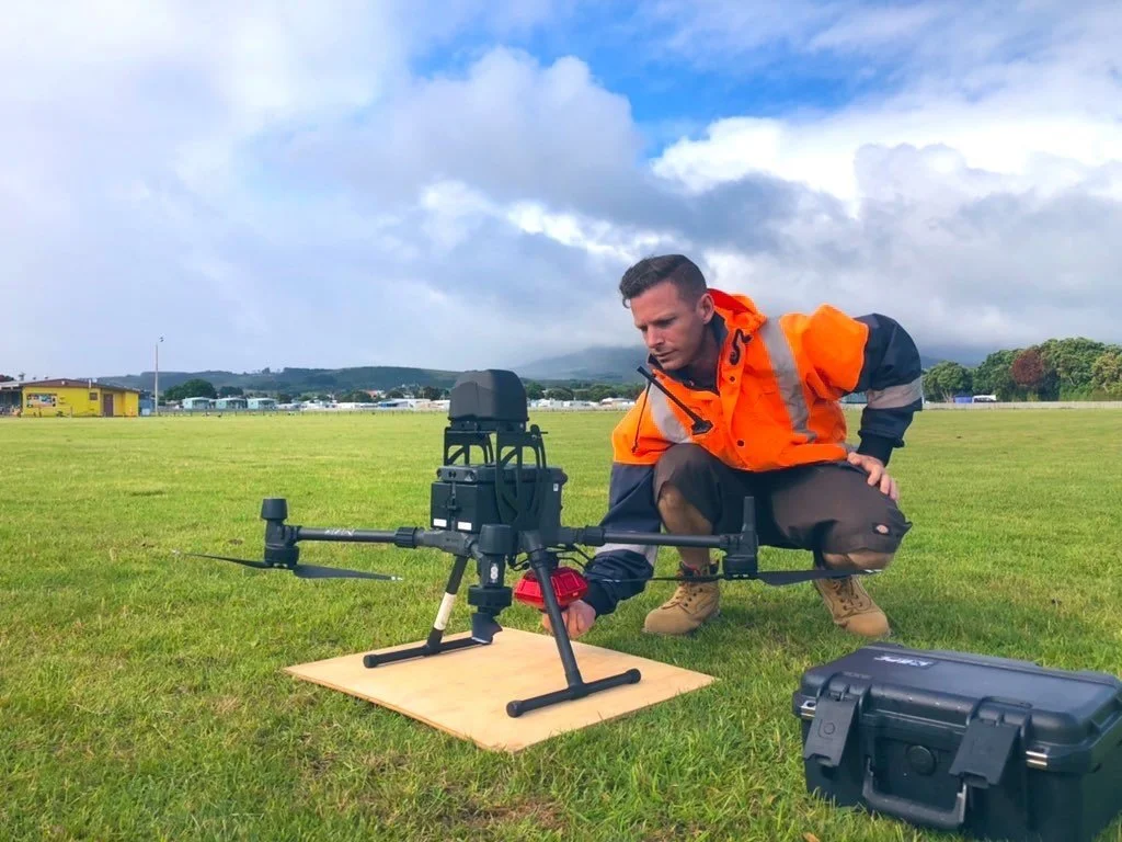
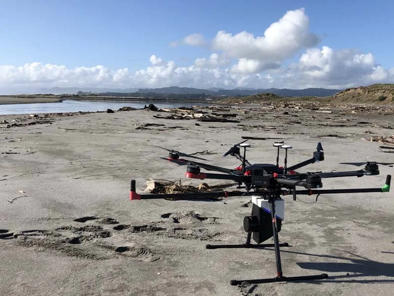
DJI Matrice 300 RTK
Our workhorse for demanding sites. RTK positioning, up to 55 minutes of flight time and IP45 weather resistance let us fly longer, more precise missions while carrying professional camera payloads.
Heavy-lift inspection and survey platform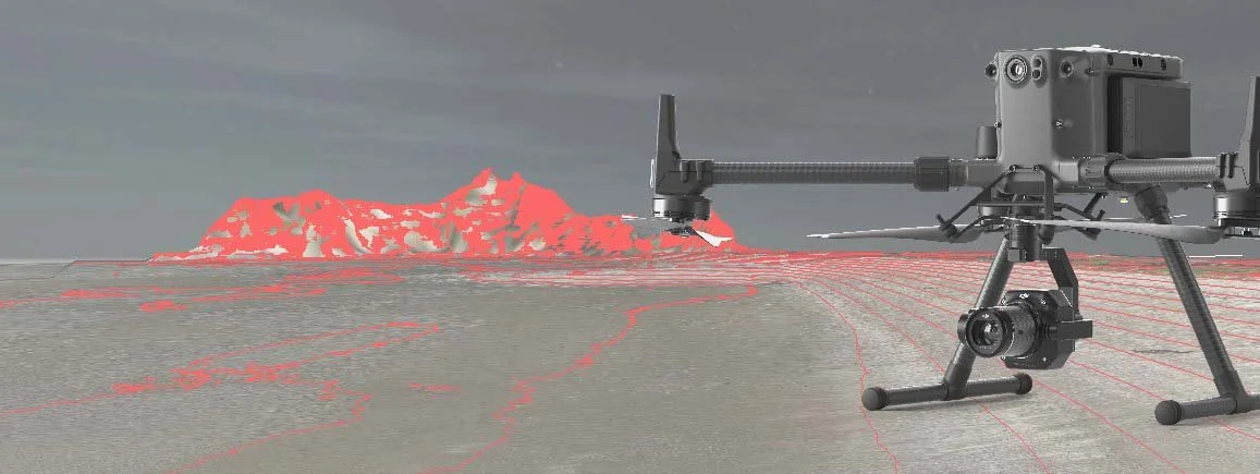
DJI Zenmuse P1, H20 & Thermal
The full-frame P1 with 35mm and 50mm lenses captures survey-grade imagery for photogrammetry and 3D models. The H20 zoom camera inspects fine detail from a safe distance, and our thermal camera reveals heat-related faults.
Interchangeable camera payloads
Compact rapid-deployment droneDJI Mavic 3 Enterprise
Quick to deploy on smaller sites, roofs and tight spaces. Its mechanical-shutter wide camera and zoom camera deliver sharp inspection imagery and mapping data without the setup of a larger aircraft.