
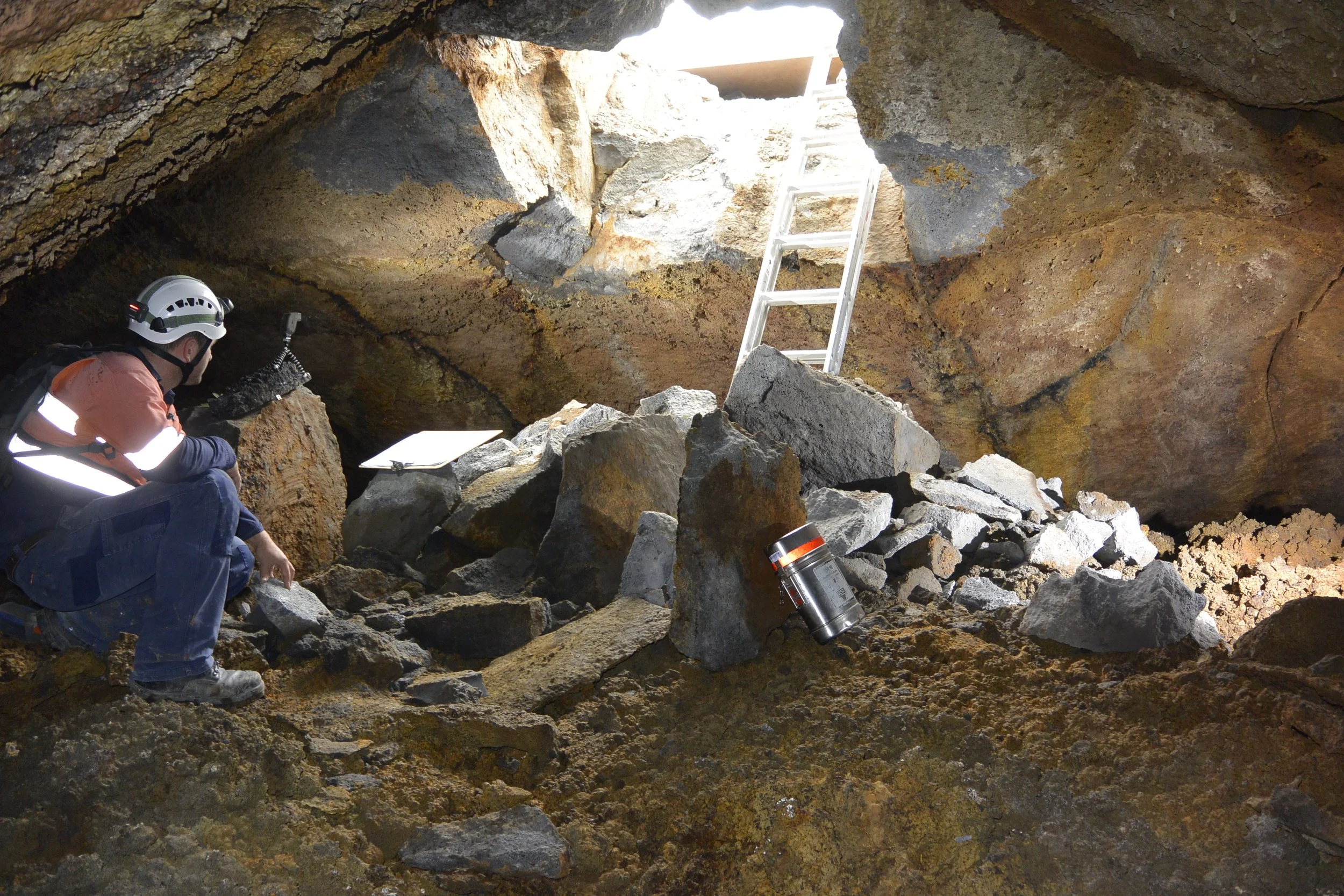
Laser Scanning A Lava Cave Provides New Subterranean Data Sets
It isn’t every day Recon consultants are called upon to scan a prehistoric lava cave underneath a suburb in a major city. But part and parcel of completing subterranean construction work in Auckland – which lies sprawled across the country’s largest volcanic field – means that encountering them is not uncommon.
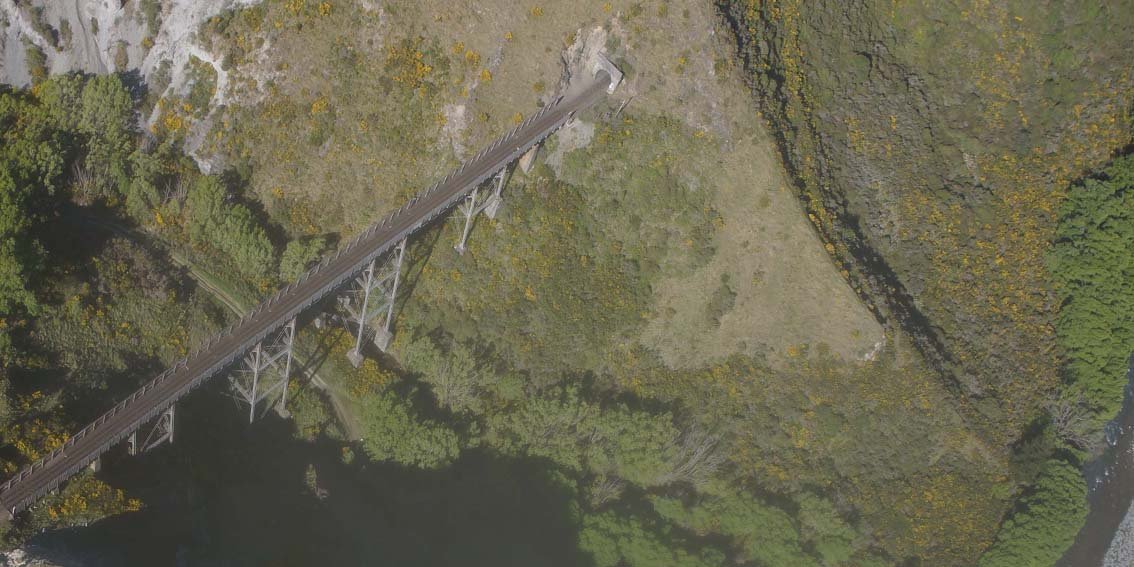
UAV Survey – Kiwirail’s Key Link
Richard Justice, principal engineering geologist with ENGEO Limited, is a firm advocate for the use of UAV (unmanned aerial vehicle) technology to map landforms for further geological assessment.
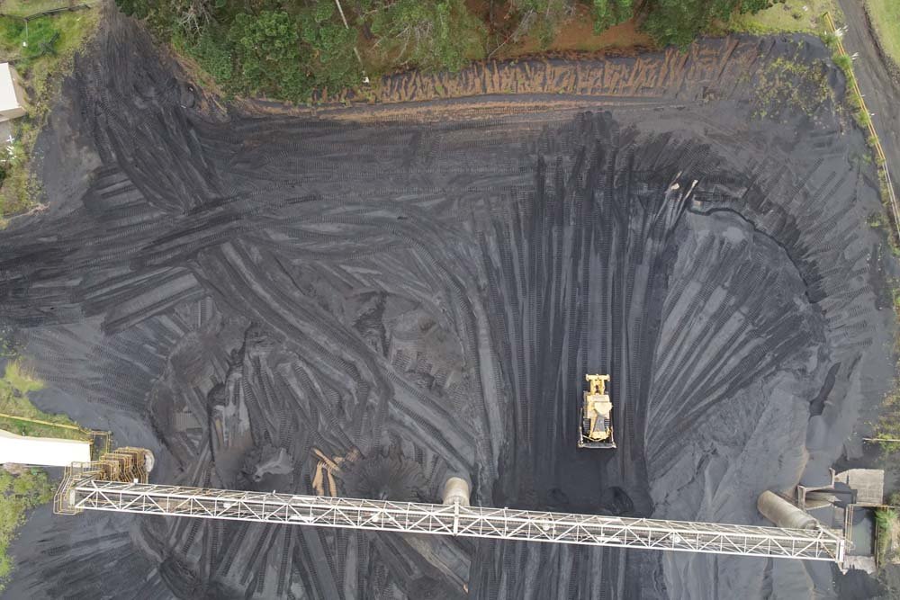
NZ Steel UAV - Taking Stock
Recon’s UAV consultancy service provides New Zealand Steel with a safe and fast way of acquiring stockpile volume data.
