
CAD
Utilising AutoCAD and Civil3D, software that enables the production of high-quality drawings and models.
This includes construction drawings, topographic surveys, asbuilts and more.
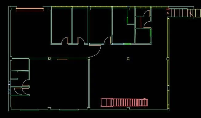
We provide accurate and detailed CAD surveys that integrate seamlessly with your design workflow. From 2D floor plans to 3D modelling, our CAD survey services ensure precise measurements and reliable documentation for enhanced project planning and execution.
Survey Control
3D Scanning or Aerial Mapping
Drawing / Modelling / Calcs
QA & Reporting
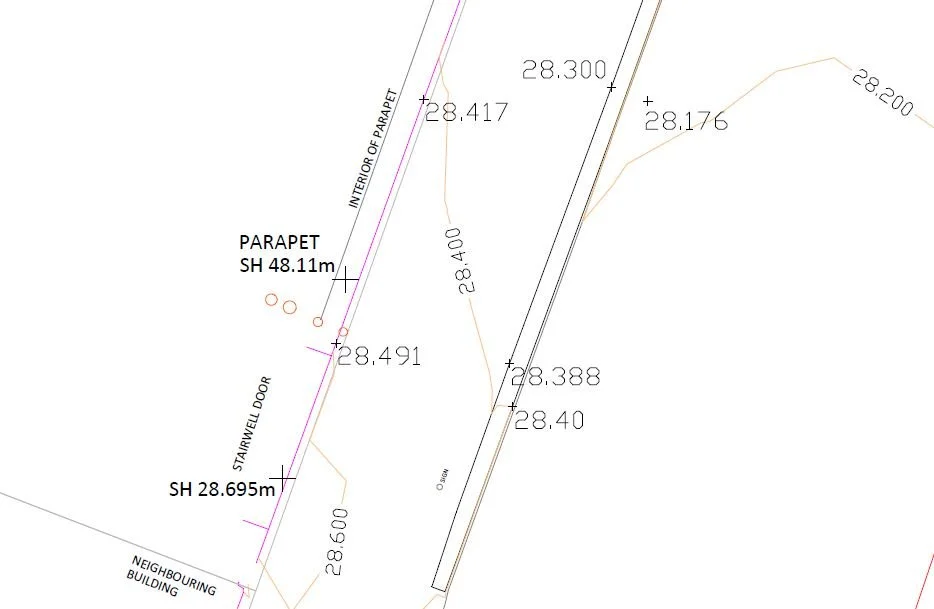
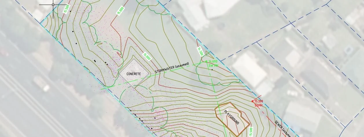
Topographic Survey
From architectural designs to mechanical components, our CAD services ensure seamless integration, precise measurements, and efficient collaboration.
A powerful tool used in surveying to create, modify, and analyse 2D and 3D maps and drawings. Providing detailed and accurate maps, plans, and topographical models for construction projects, including building layouts and site plans.
Easily modified and updated as new survey data becomes available.
3D Scan Asbuilt
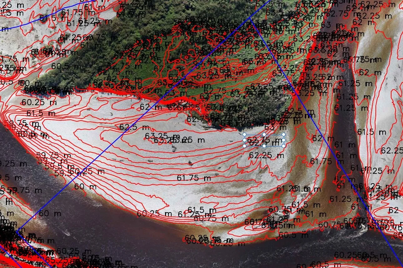
Aerial Mapping
Featured Case Study

Building Renovation
Using two FARO Focus 3D scanners over a hundred 3D scans were completed in 6 hours. A little over 24 hours later a registered, pointcloud was built. When accuracy in relation to parcel boundaries is critical Recon’s approach is to tie into the local LINZ (Land Information New Zealand) survey datum. Control targets are placed around the site which are picked up during the 3D scanning (aka 3D terrestrial scanning or high-definition scanning).
Our CAD services
Our CAD services offer a comprehensive range of design solutions to streamline your projects. With cutting-edge software and experienced designers, we provide accurate 2D drafting and 3D modelling services.
From conceptualisation to visualisation, our CAD services enhance collaboration, optimise designs, and save time and costs. Whether you need CAD conversion, parametric modelling, or digital prototyping, our team delivers high-quality results tailored to your specific needs. Contact us today for a seamless CAD experience.