
UAV Mapping
Unmanned aerial vehicle (UAV) mapping involves surveying using drones equipped with a range of technologies, and processing the collected data into maps of various kinds depending on the information required. UAV mapping has a number of advantages over both manual on-land surveys and helicopter surveys. It is often more cost-effective, doesn’t disturb existing operations and allows access to dangerous or difficult to reach areas without putting people at risk. Recon is highly experienced at UAV mapping natural terrain and infrastructure for all kinds of projects.
TYPES OF UAV MAPPING
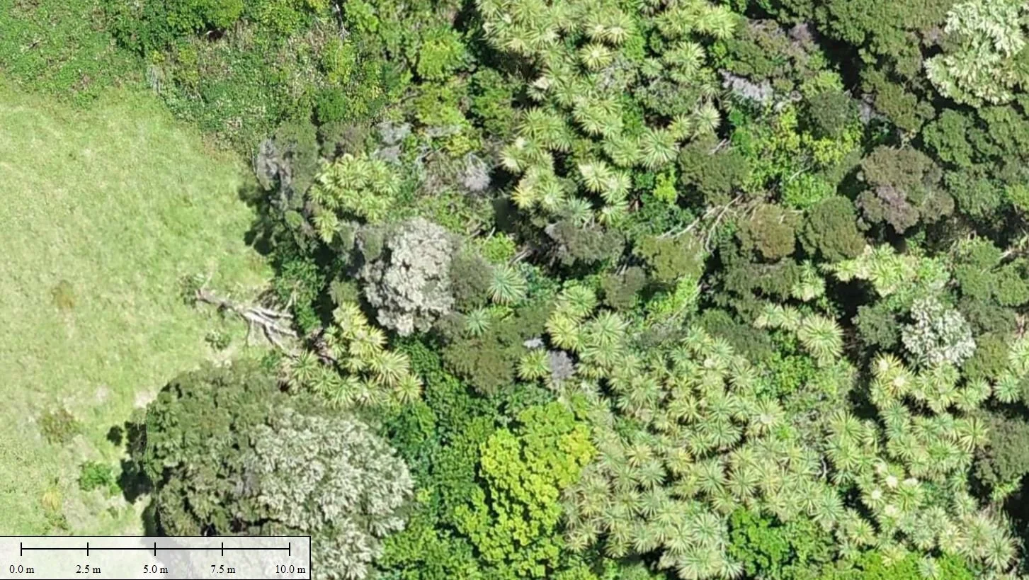
Orthophotography: With orthophotography, a large number of aerial photographs are captured by the drone during an aerial survey. These images are then merged and corrected for camera angle, topographic relief and any lens distortion. The result is a highly detailed combined image of the surveyed area with a uniform scale. Once a scale marker and other key information is added as required, the orthophotograph can be used as a photographically accurate map of the site.
Digital Elevation Modelling: Our UAVs also employ Lidar technology to create detailed digital elevation models of the surveyed site where required. It is possible to create both digital surface models (DSMs), which map everything on the ground including buildings and vegetation, or digital terrain models (DTMs), which only take into account the underlying terrain itself. Digital elevation models can be displayed in three dimensions, and are highly customisable in terms of scale, detail, viewing angle and colour.
Additional UAV mapping services: Recon is highly proficient in all aspects of aerial mapping, including pointcloud, 3D modelling and GIS datasets. Get in touch if you have a specific project in mind you’d like to discuss.
UAV MAPPING APPLICATIONS
Having recognised the possibilities of using UAV technology for aerial mapping early, Recon has developed drone surveying services on projects of all kinds, including mining, transport, forestry and utilities projects. We are experts in both surveying and map creation, and are able to collect the data you need and turn it into purpose-designed models in the format you require.